
June 9, 2012
I began this hike at a little before 4:30 in the morning. The weather forecast was for a high chance of thunderstorms later in the day so I wanted to get a jump on the hike. A few other people had the same idea, but there were few cars at the trailhead that time of day. I parked just below the sign that identifies wehre the fee area begins. I figure I can hike an extra 100 yards to save $3 on parking. When I started hiking I could have sworn I saw two others ahead of me that were going up Bross first, but their headlamps disappeared from view and I never saw any sign of them the rest of the day. I didn't see another person on the trail until I got the the Democrat saddle.Click here to see my trip report on this hike from August 2002.
| Distance: | 7.6 miles |
| Elevation Gain: | 3,520 vertical feet |
| Time: | 4 hours |
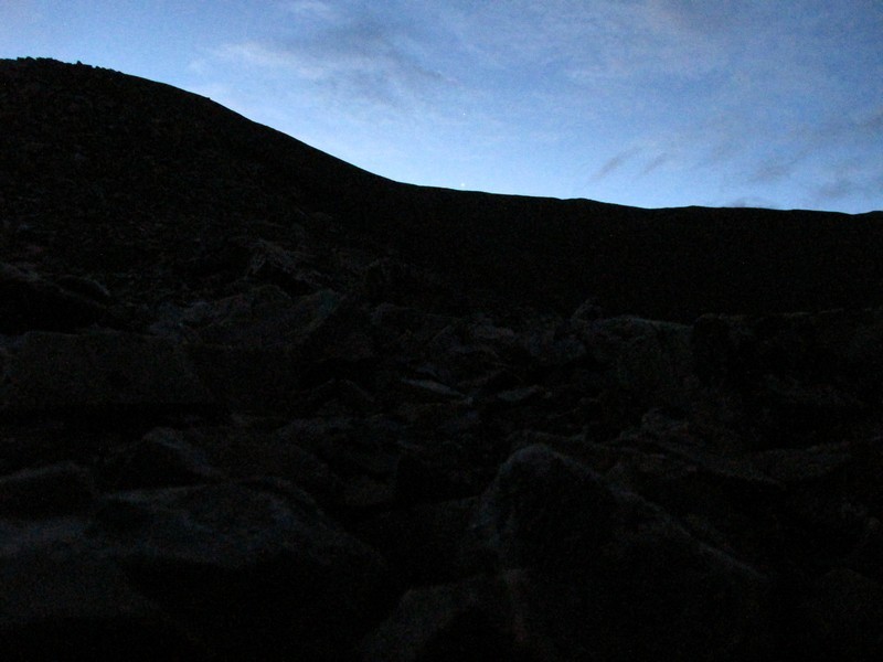
The trail through the scree of Bross wasn't too hard to follow in the dark though I did briefly get off the trail a couple of times.
As I the sky grew lighter I could see that the sky was clear. This was a great change from the hike I did the day before. Unfotunately it did not last long.
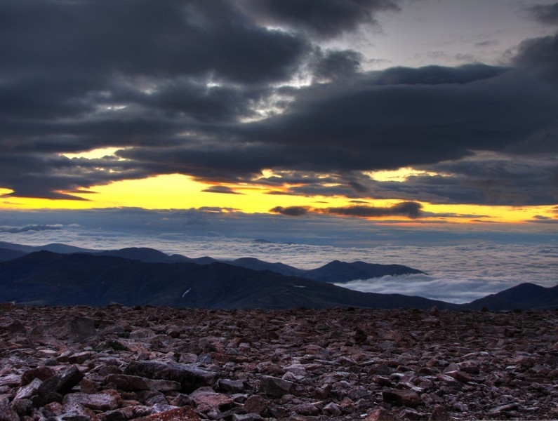
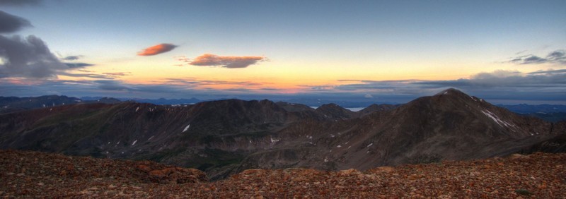
I reached the alternative summit of Bross (nearby, nearly the same elevation and not on private closed land) at 5:20 and was treated to a beautiful panorama of clouds below and above with the horizon lighting up between.
I also notice a banner cloud beginning to form on the summit of Democrat. My initial goal of the day was to just do Bross and Lincoln. Then if weather held and I had time I'd add Democrat. With sighting this cloud I knew I'd have to hurry to get the climb in before the bad weather could build.
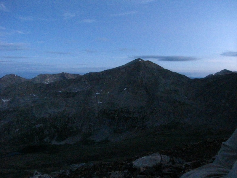
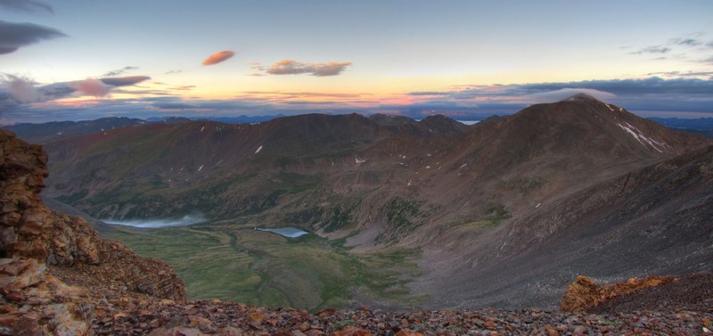
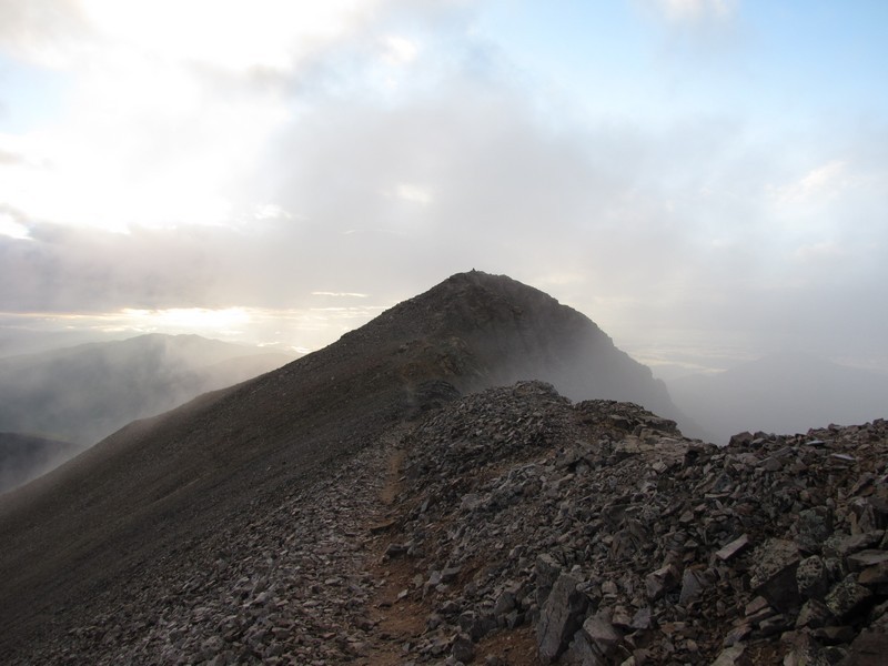
The route over to Lincoln looked easy enough I didn't think it would take me long to get there.
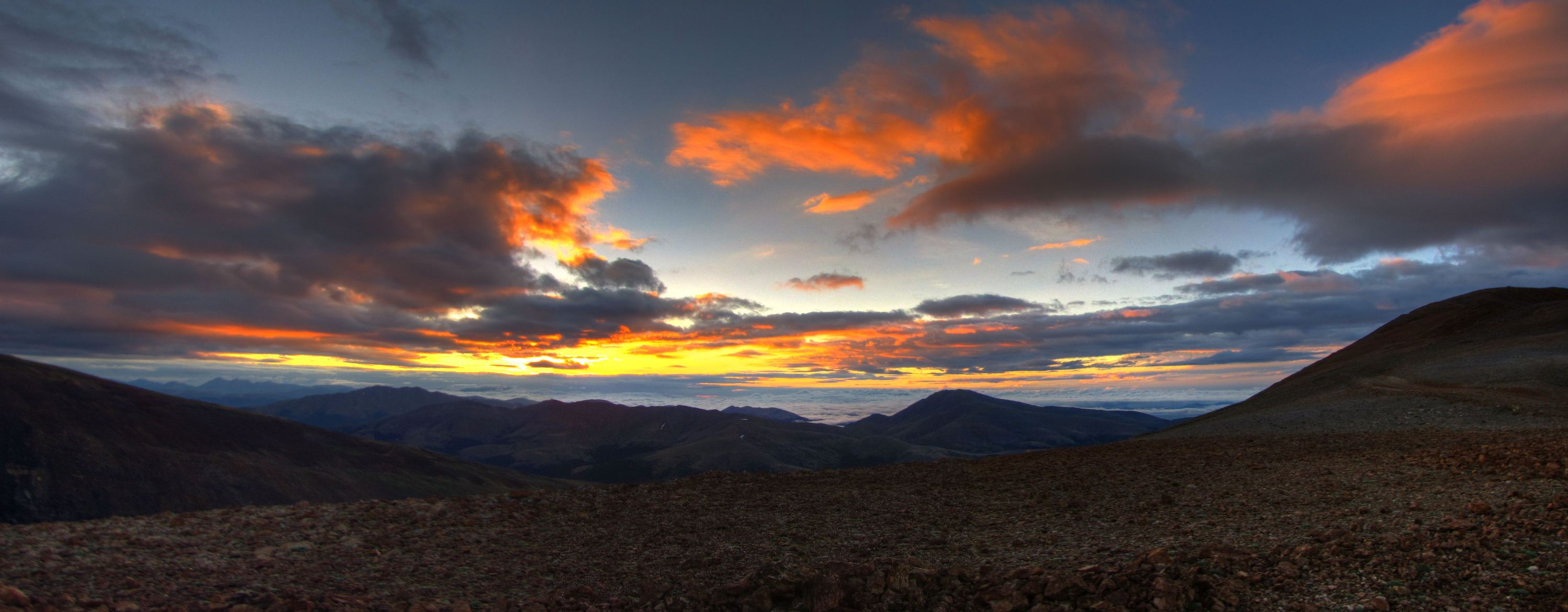
It wound up taking me almost 45 minutes to get to Lincoln though. I got delayed taking a lot of photos of the sunrise as I reached the low point of the saddle. (Click image for larger version)
The sunrise and the clouds made for some great lighting. It was one of the most beautiful sunrises I've ever seen.
I seriously could not stop taking pictures as the clouds and light kept changing.
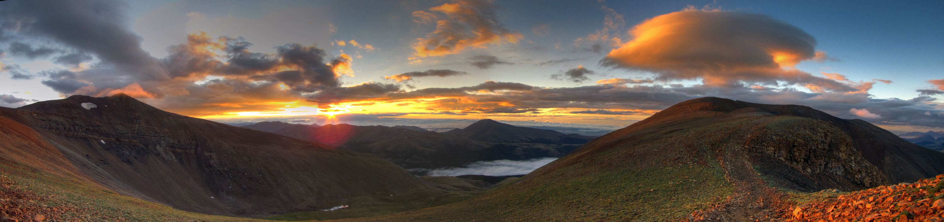
This photo looks absolutely nowhere near as impressive as it did seeing it in person. Notice the Lenticular Cloud over Bross. (Click image for larger version)
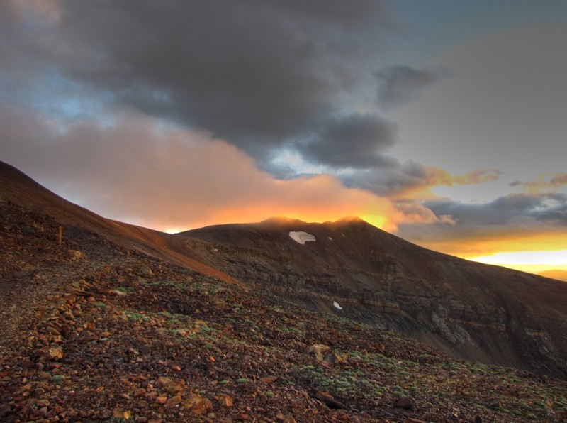
The summit of Lincoln looked like it was on fire when the alpenglow hit it.
When I finally reached the summit of Lincoln the summit was mostly in the clouds.
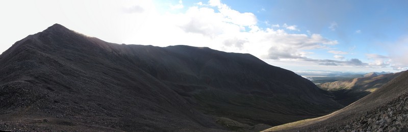
Summit Panorama
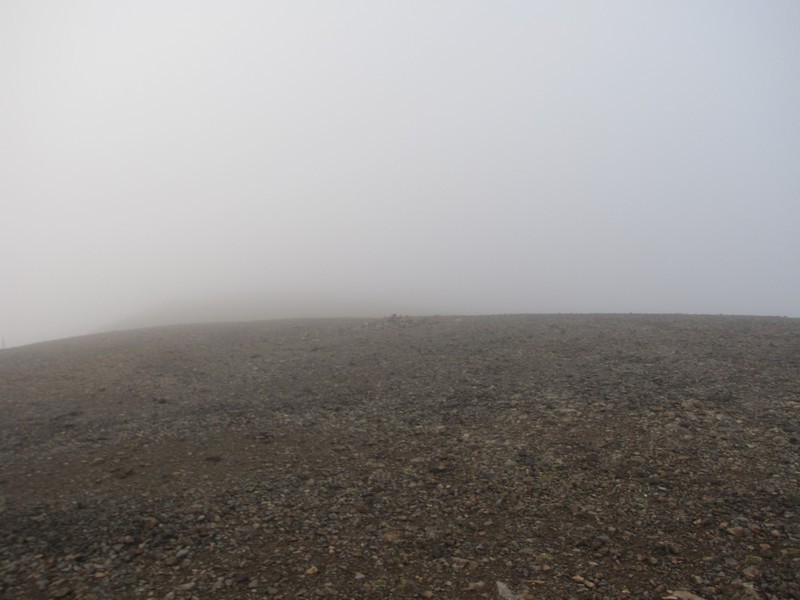
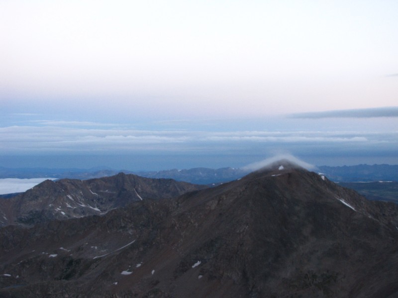
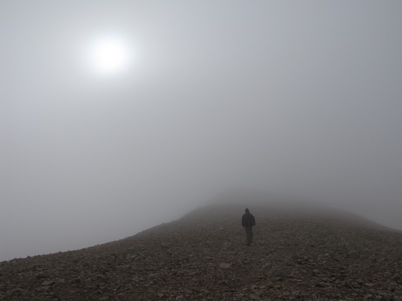
As I left the summit of Lincoln to go over Cameron I was completely engulfed in the clouds. This photo is the summit of Cameron. Not a very scenic summit this day.
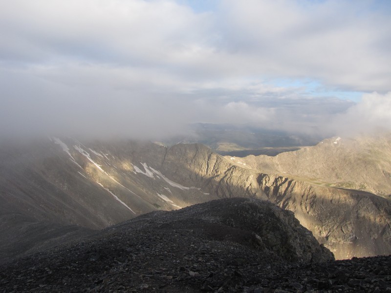
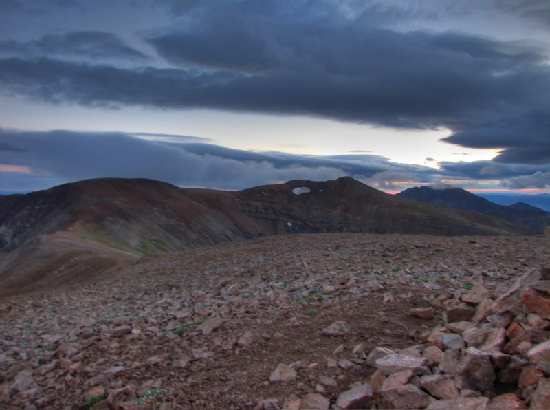
As I began to descend to the saddle the clouds broke up again. I could see that the high level clouds still were not building up to thunderheads so I decided to go for Democrat as well.
As I got to the saddle it was obvious I was headed for another cloudy summit.
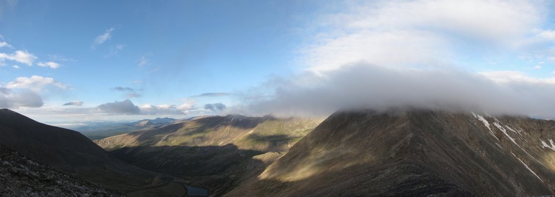
Oddly enough, as I looked back up at Cameron I could see it was no longer in the clouds.
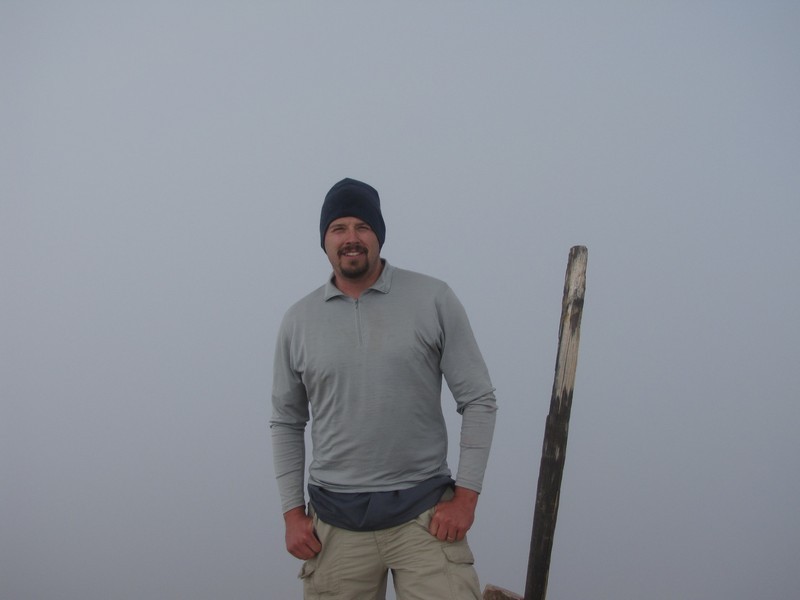
My less than dramatic summit photo on top of Mount Democrat. No really that's where I was.
Though the summit was socked in, it was easy to tell the clouds were thin as the sun was always visible through them.
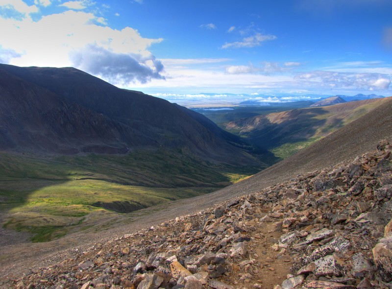
As I descended off the summit the transition out of the clouds was very dramatic and it was a totally different day in the valley below.
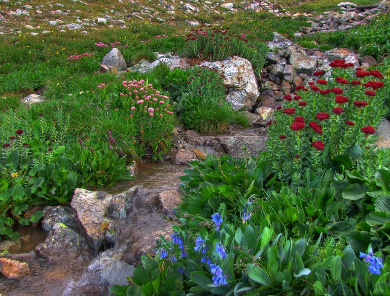
The wildflowers along the creek that feeds Kite Lake were in full bloom, and probably loving all the recent rains.
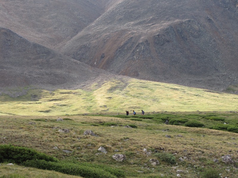
Unfortunately with all the work done to help keep people on the correct paths there are some who still ignore them. If hiking in this area please remember that these trails are mostly on private property with permission from the owners. Ignoring their requests to close certain trails does not help with that relationship and my lead to a complete closure of the area.
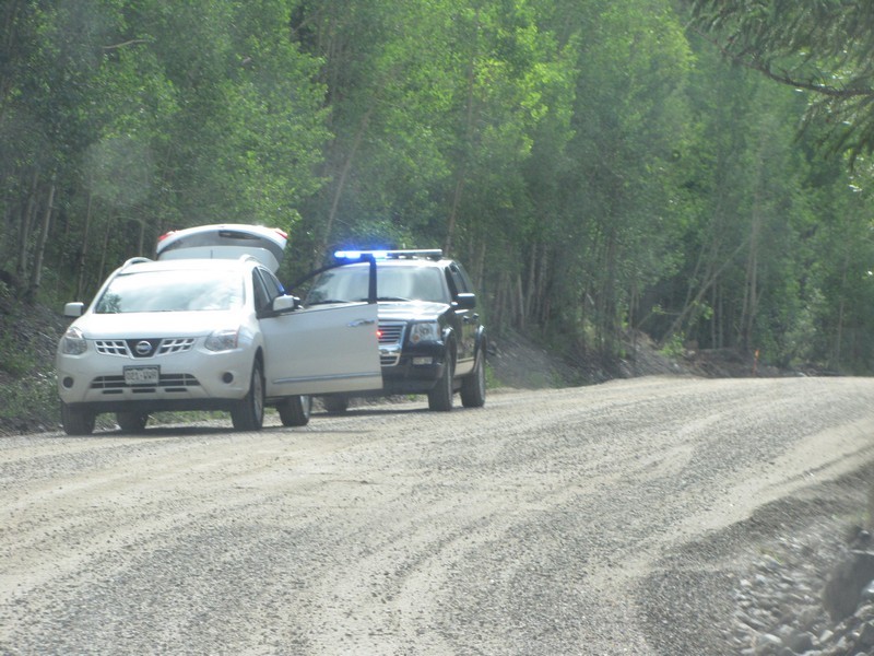
The town of Alma owns about a mile and a half of the Kite Lake Road west of Alma. They have set the speed limit at 15 on this road even though it is a wide smooth road. I can only assume that this is to generate funding for the local PD. I highly recommend you obey the speed limit through that section to avoid contributing to thier cause. You will know you are past this section on the way up when you see the sign identifying the road as Park County Road 8. On the way back down the road on your way out you will see a sign that says Alma Town Limit and several signs afterward stating that the speed limit is 15.
It was nice to have done these early enough to be on my way home before the storms built up enough to be a risk. It took me 4 hours to do the 7.5 mile loop.
You are welcome to contact me with any questions regarding questions about, or problems with, this website. Just send me an e-mail at josh_friesema@hotmail.com.