
June 26, 2015
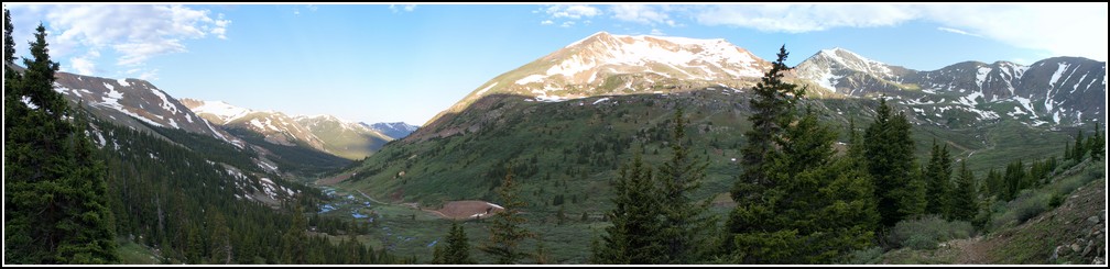
Ellie and I had only managed one mountain the previous summer, so I reserved some of my vacation days to spend hiking with her. This was our first one of the year. We could not do a 14er because Ellie will only climb those if her cousin Keziah comes too. So I chose a centennial peak that I hadn't climbed yet. I chose well, Mount Edwards was a goregeous climb.Map:
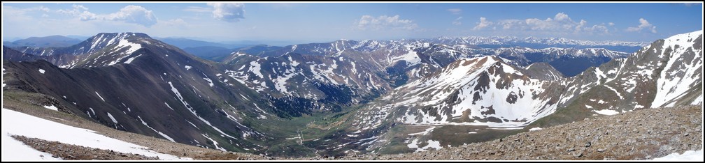
Profile:
| Distance: | 7.5 miles |
| Elevation Gain: | 3,000 vertical feet |
| Time: | 8.5 hours |
On the way to the trailhead we got to see a bull moose, however my camera was packed away in my backpack ready for the hike. That was a fun start to the hike.
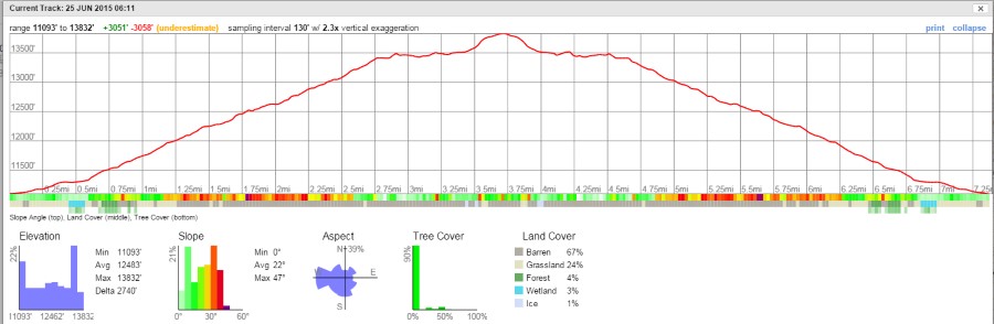
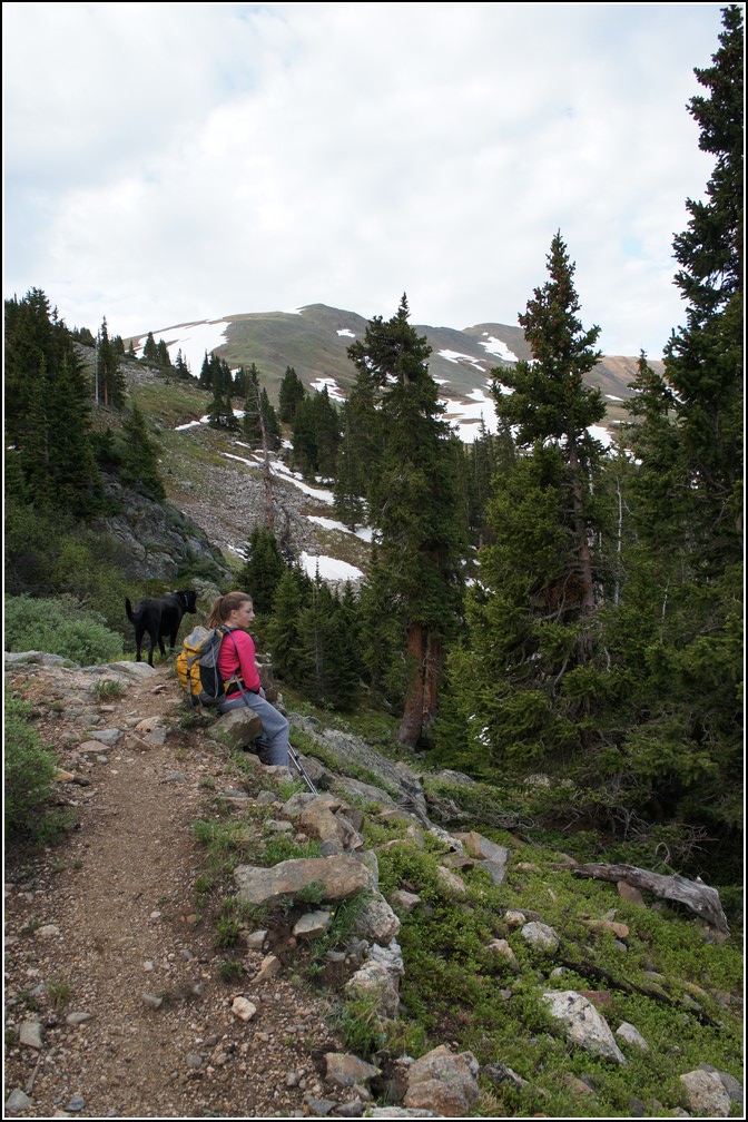
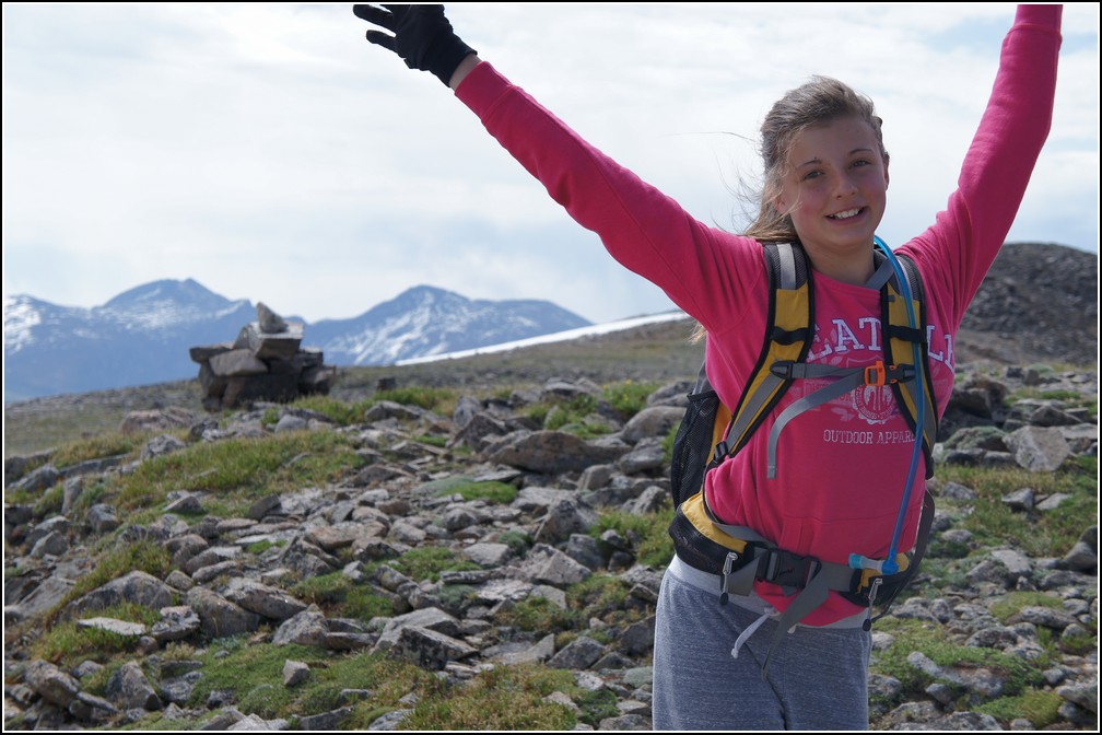
Pre-hike photo. I love spending time with this girl.
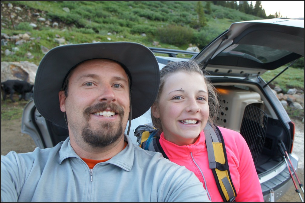
I just got this Jeep Compass. Hadn't even owned it 24 hours yet and already had it out in the mountains.
The summit of Mount Edwards is visible early in the hike, though hard to distinguish from the rest of the ridge. Ellie didn't really believe me when I pointed it out to her.
Hover the mouse over the photo for an arrow showing the summit.
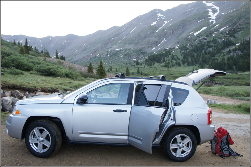
As usual we got a nice early start on the day. We were on the trail by 6.
Ellie hadn't been at elevation in quite a while so she stopped more than usual to catch her breath.
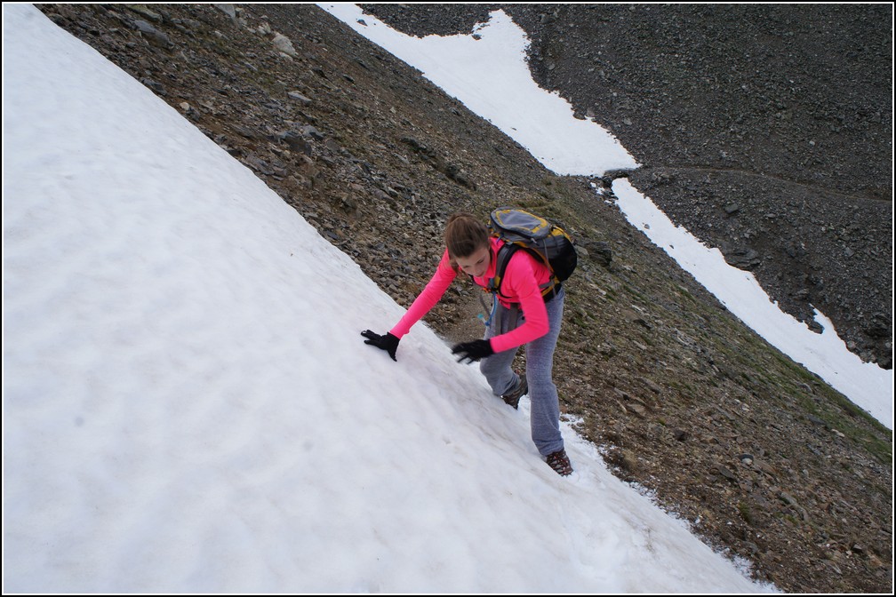
It wasn't long before she was getting used to it again though. She took on the snow fields like a champ. She had good boots that really helped. If you're going to invest in a good piece of equipment for your kids, it should be good shoes. They make a huge difference.
Koda (our dog) was really to happy to be out with us. We have a big backyard, but he loves all the new things to smell on the mountains.
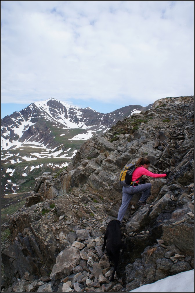
This route is class 1, but one spot did require a very short climb. Which made for a great action photo.
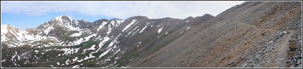
The trail is very straight forward. Take the old Argentine road to Argentine Pass, then follow the ridge to the summit.
Ellie had to change layers a few times on the way up as the temperature kept changing.
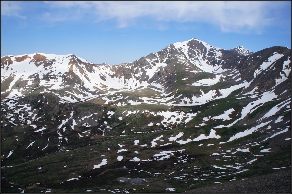
The view of Grays Peak on the way up is wonderful. I don't know the name of the couloir on this side, but it looks like a nice one to climb.
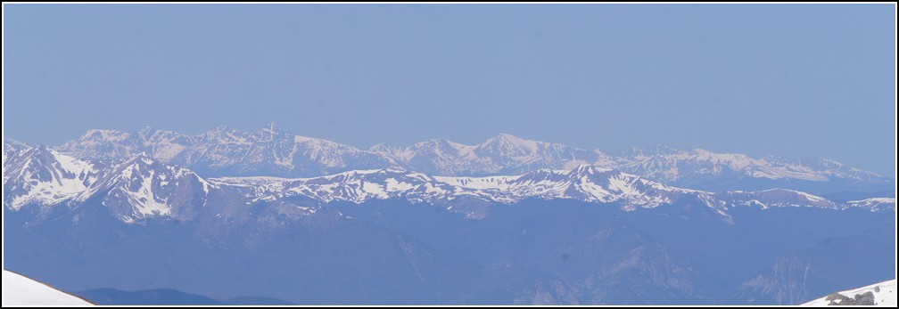
Though a little hazy, we still had a nice view of Mount of the Holy Cross too.
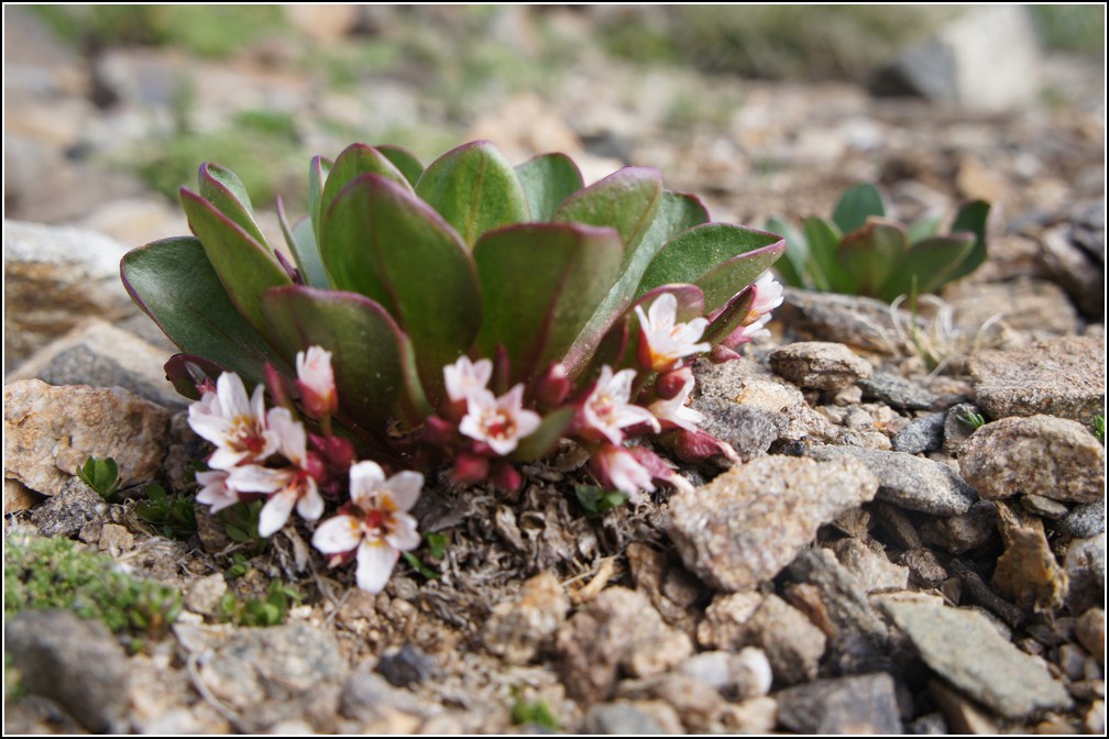
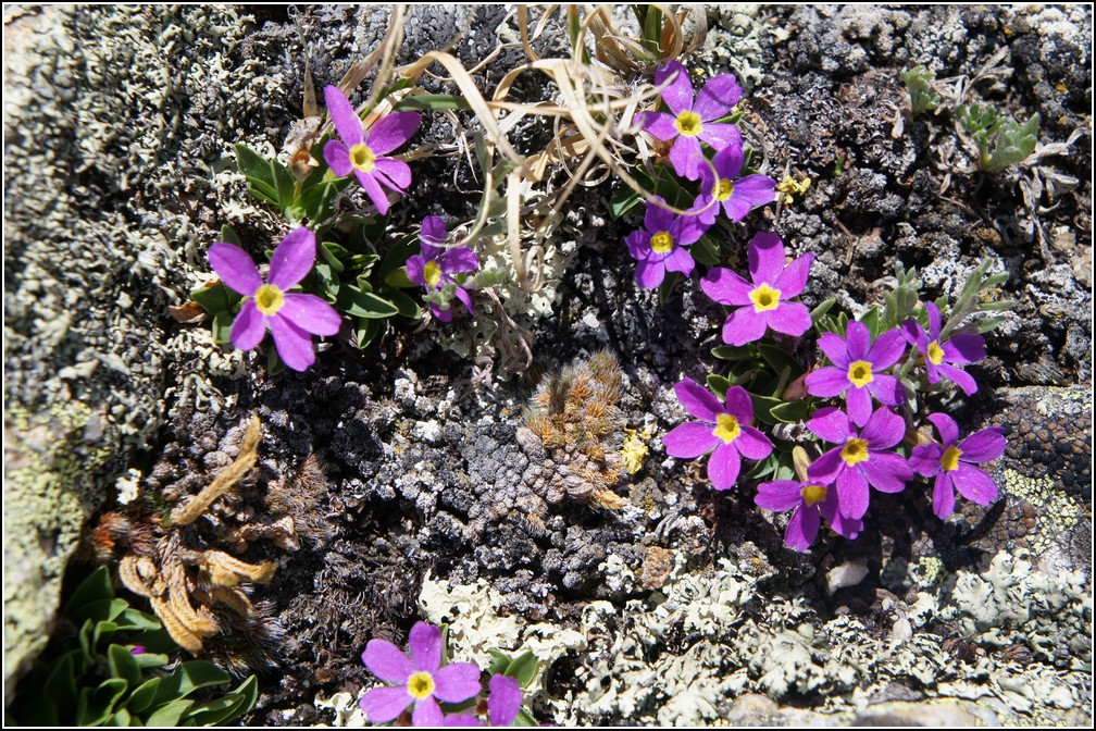
Ellie decided these are her favorite flowers. Too bad I don't know the name.
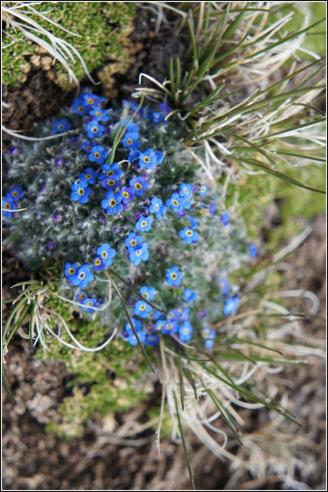
The Alpine Forget Me Not is mine.
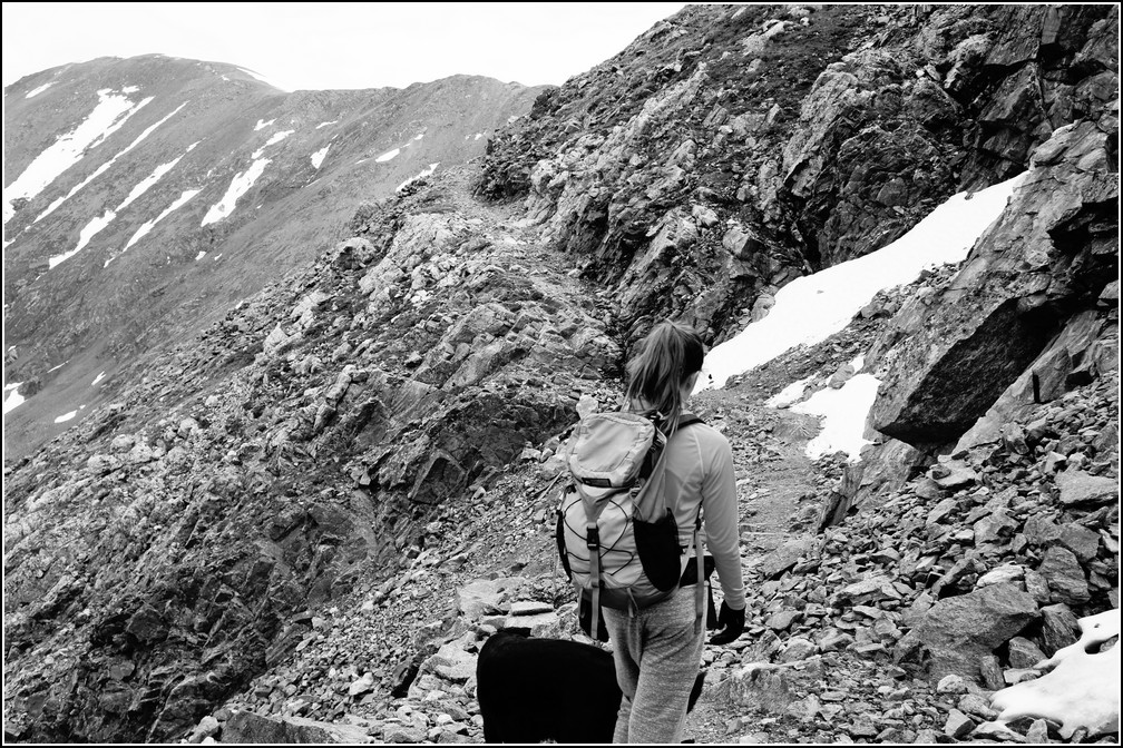
Once off the Argentine Pass trail and on the ridge the trail disappeared frequently. No big deal though, just follow the ridge to it's highest point.
A look back down the trail
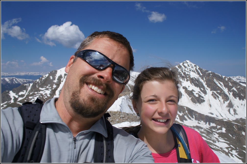
Us on the summit.
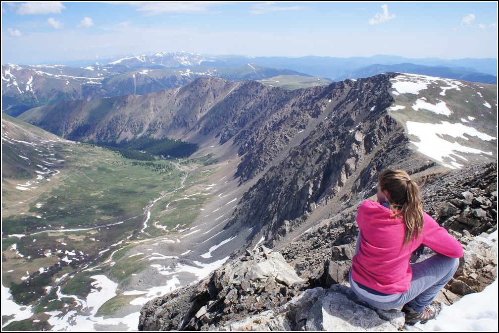
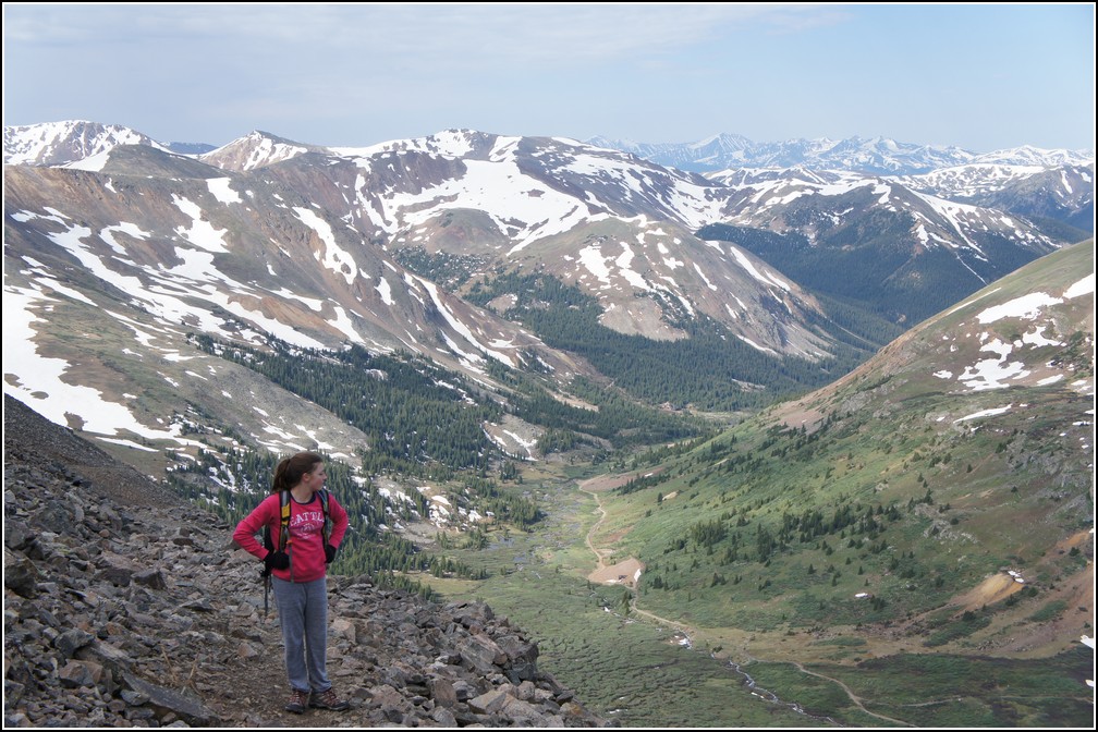
Ellie checking out the Grays and Torreys trail, we hope to do this with Keziah later this year.
I don't know the name of these either, but they sure were pretty.
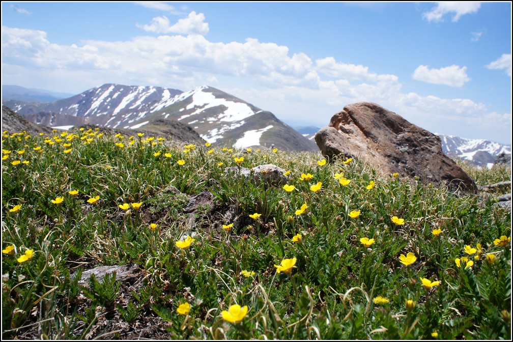
The buttercups were in bloom too.
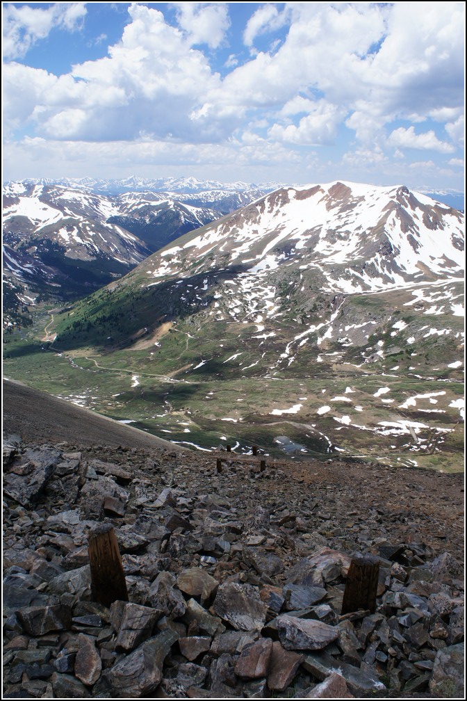
Back at Argentine Pass I stopped to investigate the poles on the pass. The appeared to have been cut down, but after some research I found out that they were poles for telephone lines and were intentionally only 2 feet tall at the top of the pass. I still don't know why they were this short though. Maybe so the wind wouldn't blow them down, but it seems like the snow would bury them in the winter and cause problems. My e-mail is at the bottom of this page if you know more.
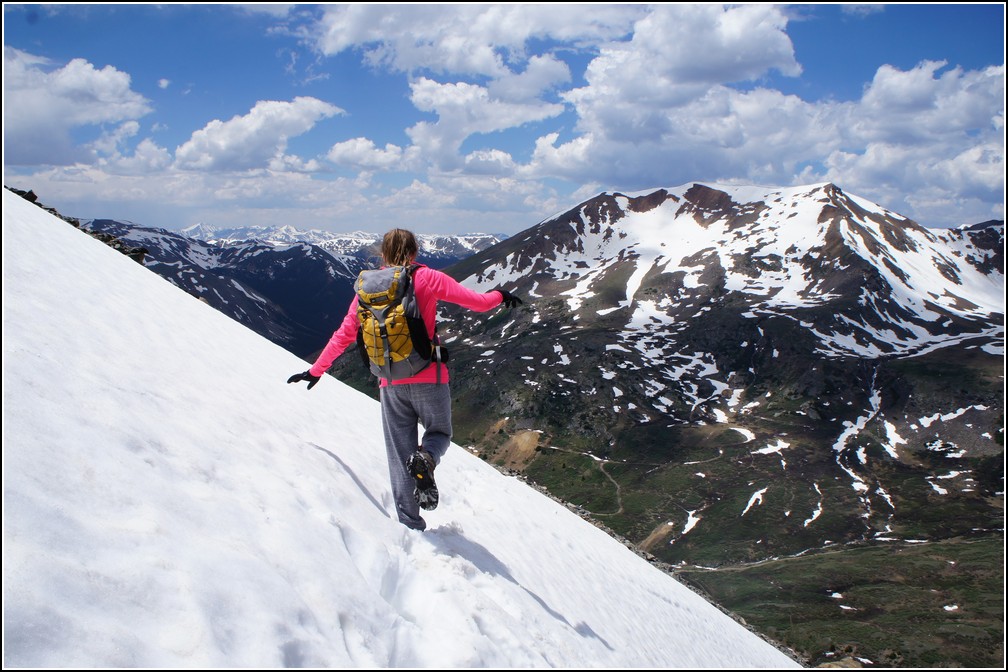
The snow softened a little during the day, but not bad. The snow crossings were a little easier with the softer snow.
Ellie enjoying her new waterproof boots.
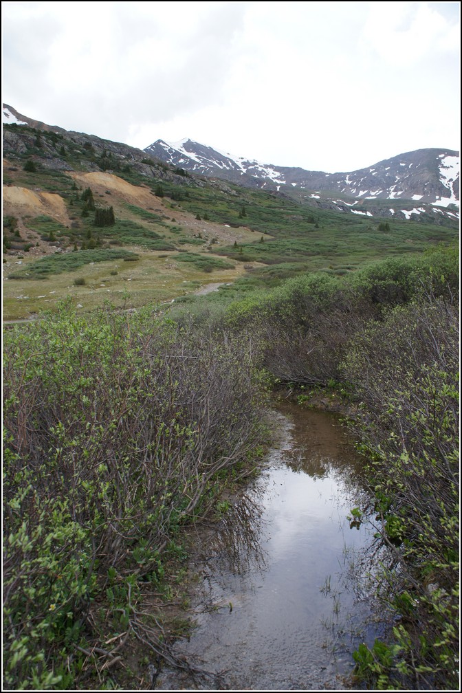
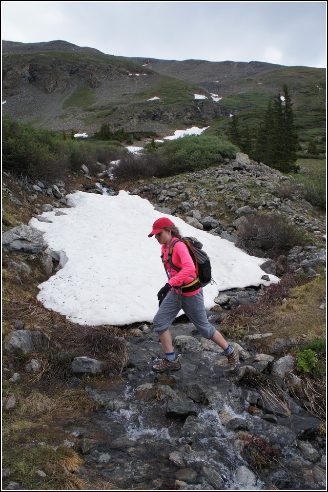
Due to the late and quick snow melt the trail was a bit soggy in places.
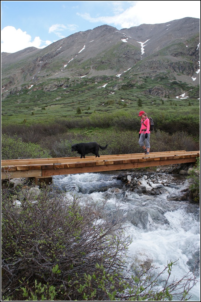
After a long hike we were back at the bridge and almost back to our car.
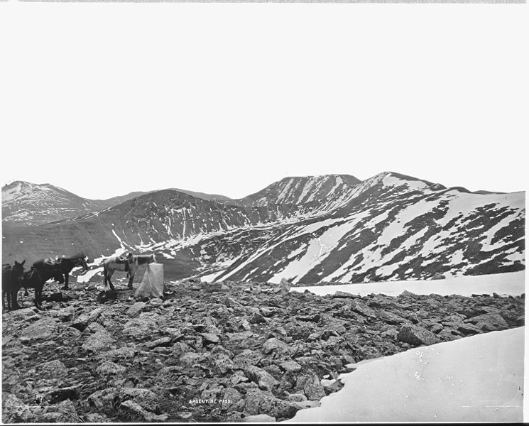
From a little research I learned that Argenting Pass was the highest named pass accessible by vehicle in Colorado. It was originally built as a toll road to get supplys between the local mining towns. The west side is now shut down to vehicle traffic, but it is still accessible by a four wheel drive road from the east.
You are welcome to contact me with any questions regarding questions about, or problems with, this website. Just send me an e-mail at josh_friesema@hotmail.com.