
October 21, 2012
My original plans for the day fell through. Jason and I were going to do another birthday for him on a summit. However due to a lot of changes with work he couldn't make it happen. So I put out a last minute post on 14ers.com to see if anyone would let me tag along. Bill Wood responded that he was going to go with a group up Buffalo Peaks and I could join them. I jumped at the opportunity.
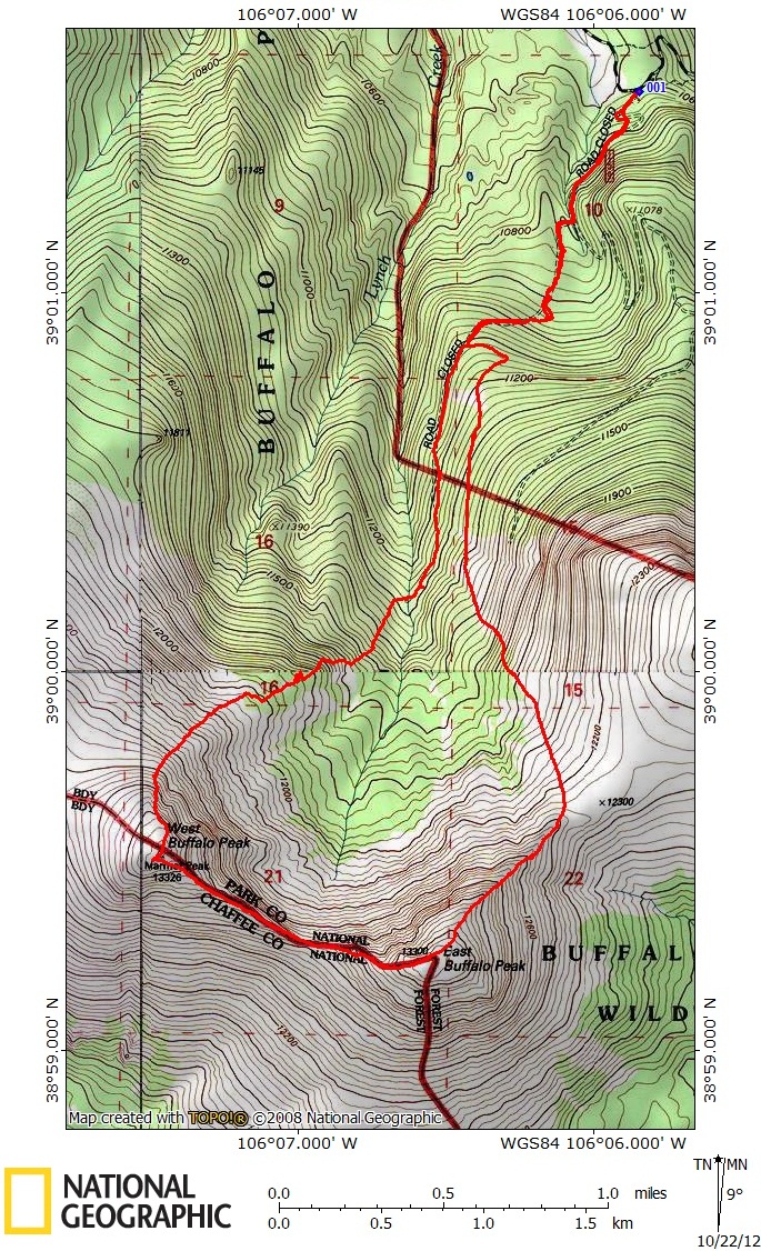
| Distance: | 8.2 miles |
| Elevation Gain: | 3,490 vertical feet |
| Time: | 7.25 hours |
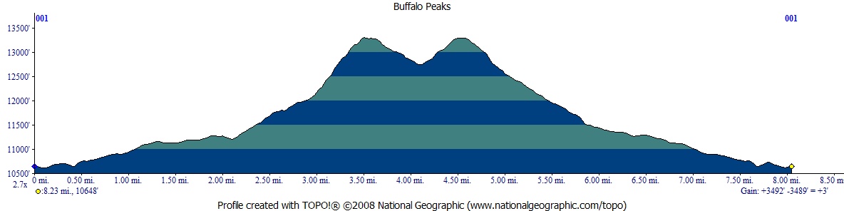
I've seen the Buffalo Peaks all my life as they are very prominent any time you are driving through South Park. I've wanted to climb them for years but never managed to get them done. Thanks to Bill I was finally heading their way.
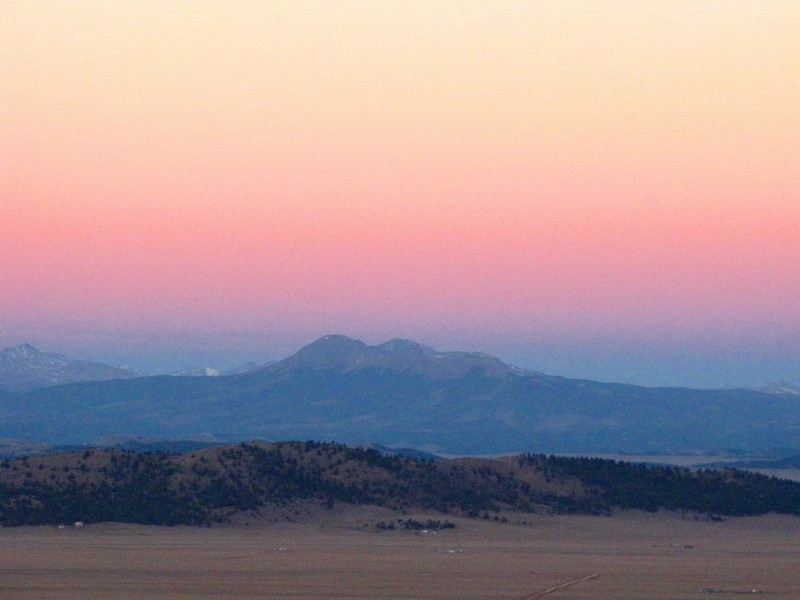
I met up with the others at the junction of FR 431 and Highway 285. While waiting I saw some impressive lenticular clouds to the north. In the summer this might worry me a bit about the weather, but storms just don't build up in the fall like they do in the summer.
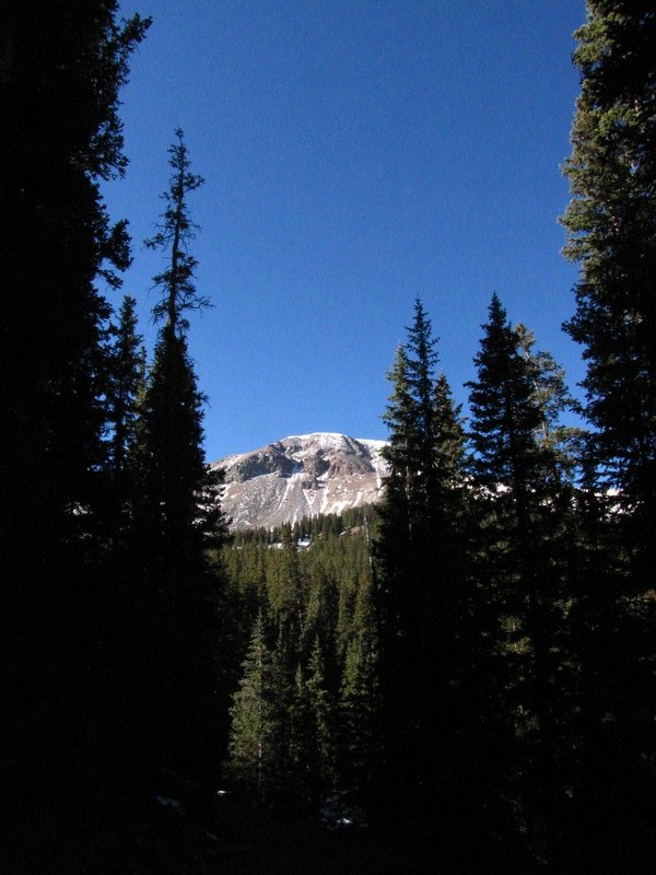
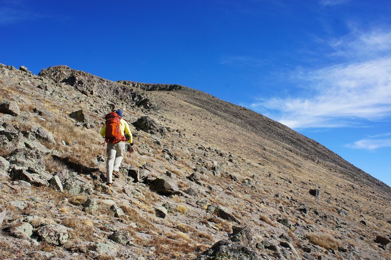
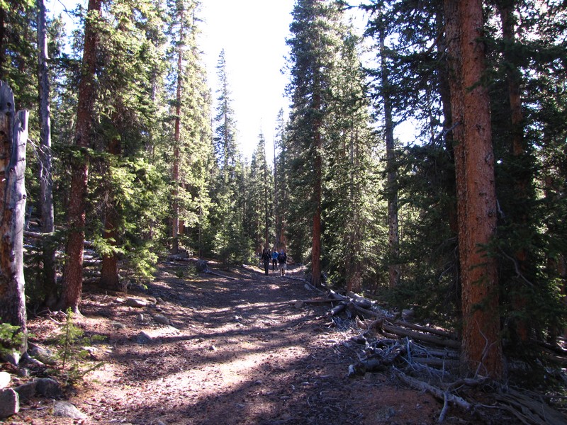
The trail follows an old road for the beginning of the hike which makes for pretty easy going, besides the numerous dead fall lying across it. Along the way you get the occasional peak at the summits in the distance. There are quite a few spur roads in the area so staying on the correct road takes some effort. Fortunately we had several in our group that had planned out the route so we kept our course. We had chosen to begin by ascending West Buffalo Peak first so we paralleled the creek for the most part.
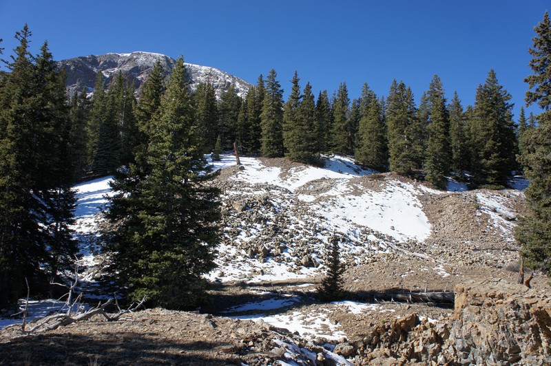
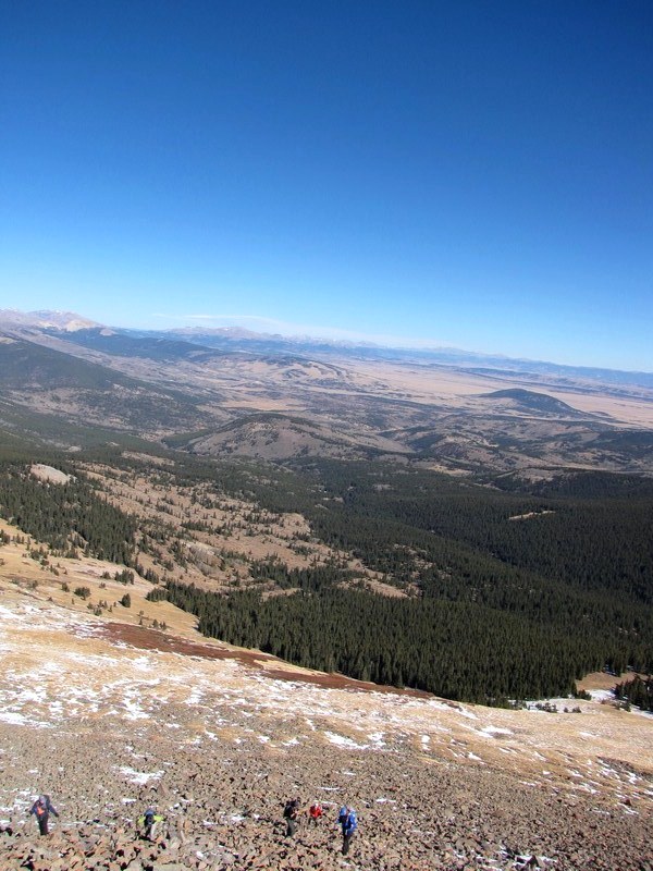
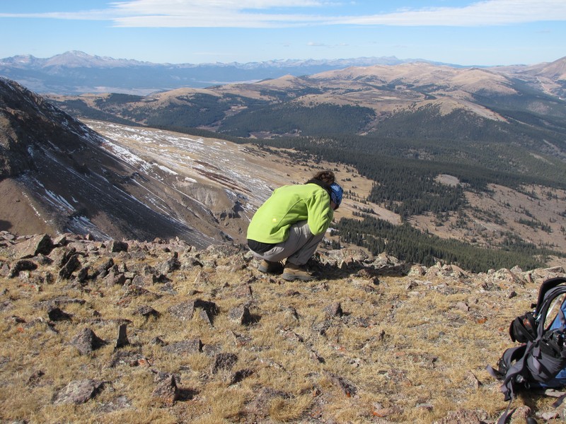
When we reached a point where the road comes nearly level with the eastern branch of Lynch Creek we crossed it and began our bushwhacking. The key is to aim for the northwest shoulder of West Buffalo Peak.
Image taken by Caroline.
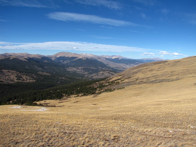
After breaking treeline the route becomes very obvious.
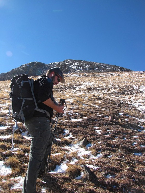
This is a look at the route up to West Buffalo Peak. The summit is just out of shot to the left. Hover to see our approximate route.
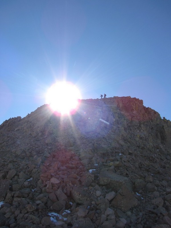
The steepest part before cresting to the gentle summit was a steep and very loose talus field. Everything moves when you step on it. I even managed to surf 10 feet back down hill on a large rock.
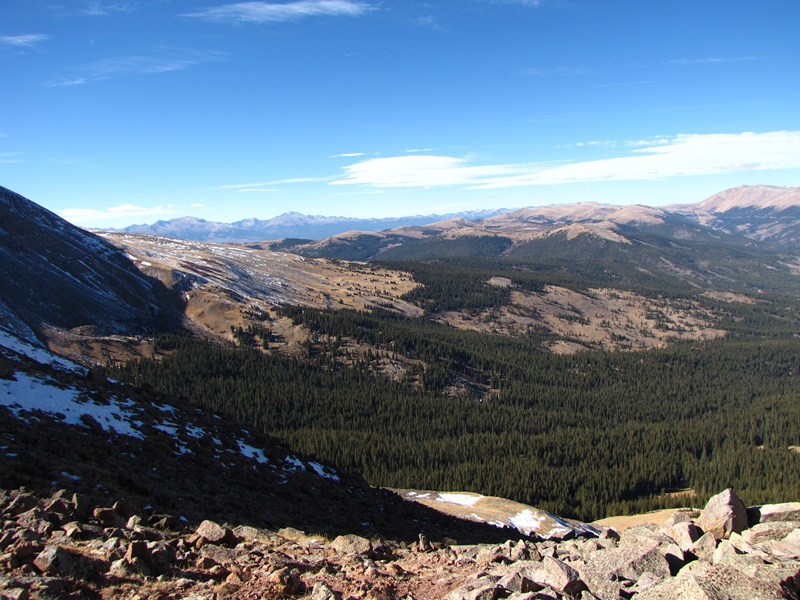
The summit is very broad and hard to decide where the actual high point is. We chose the point farthest west, partly for the views.
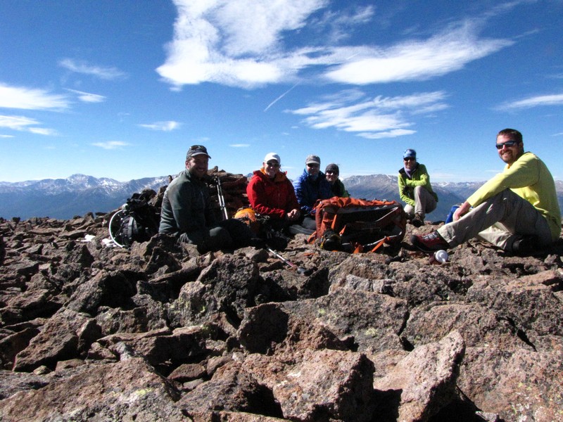
We hung out for quite a while on the summit as the temperatures were in the mid-fifties and there wasn't much wind. It was here that Bob discovered that this summit was labeled with two names on the map. Both West Buffalo Peak and Marmot Peak. I don't think I've ever seen that before on a USGS map.
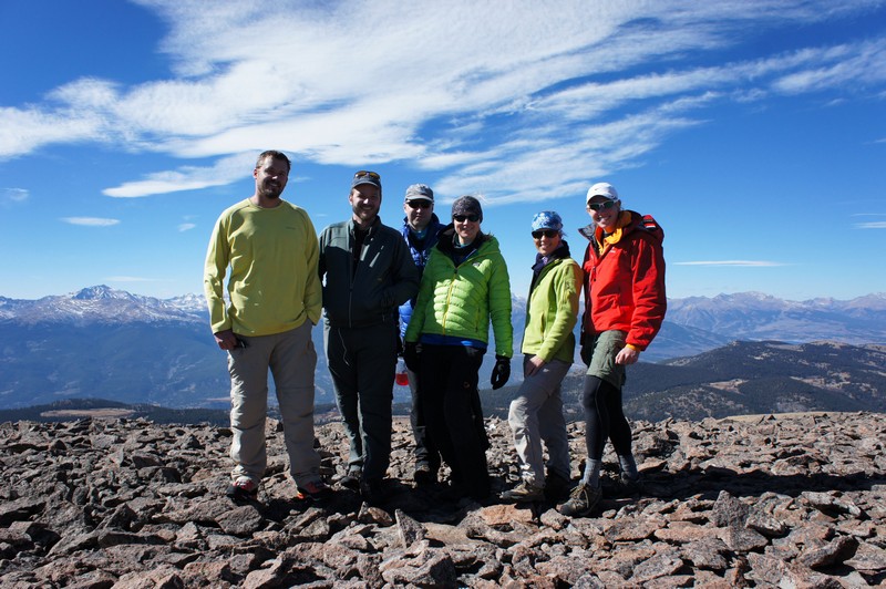
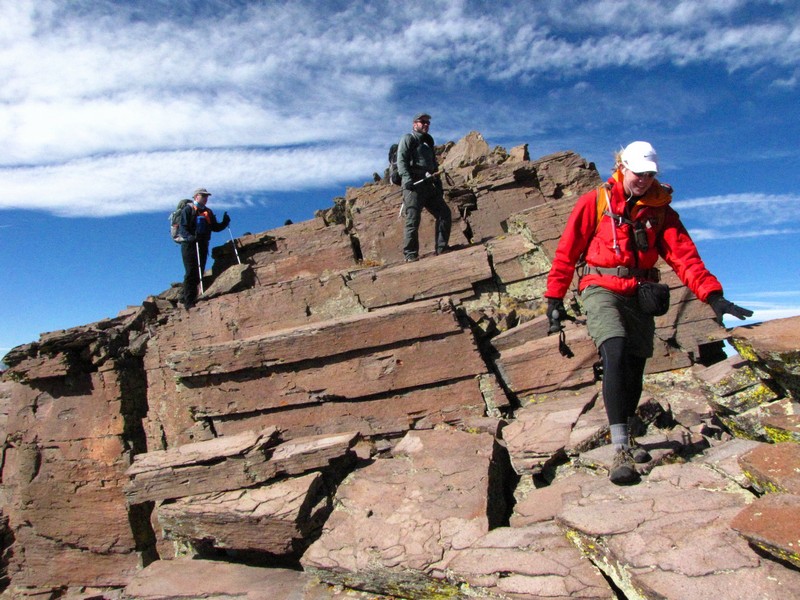
From left to right: Me, Bill, Bob, Kate (well that's the name I could spell), Otiona, and Caroline.
Thanks for letting me tag along with you guys. You're a fun group and great hikers. I hope to hike with you all again.
Image taken by Caroline
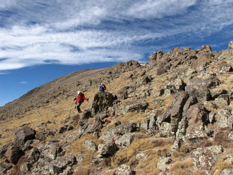
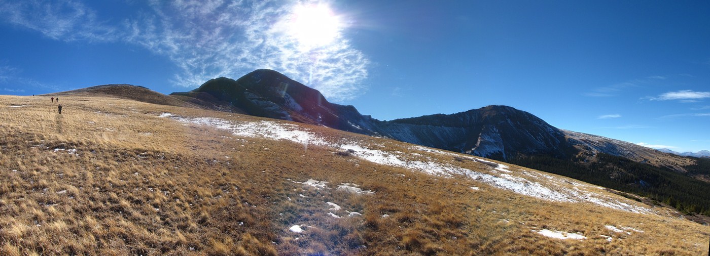
After finally getting up and moving again, we headed down the connecting ridge to East Buffalo Peak. I found myself frequently fascinated with the variety of rock on this ridge.
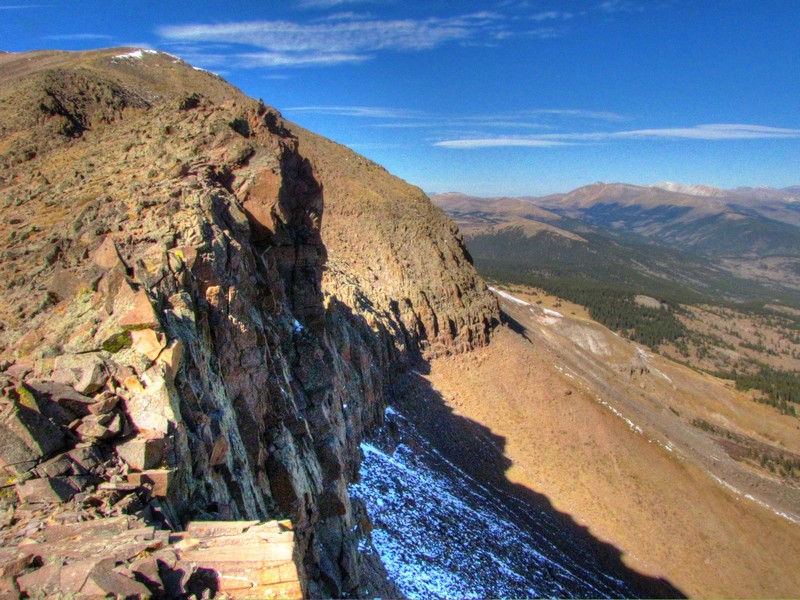
I was also surprised by the dramatic north face of the ridge. From Buena Vista it looks so tame but the north face is a near vertical cliff. The exposure added to the enjoyment of the ridge.
Some rocks that looked like stacks of books.
These looked like tile stacked vertically.
From the low point of the ridge it's only about 400 feet up to East Buffalo Peak. There was the occasional short section of trail on this part and there was minimal talus to cross. A much more enjoyable finish than West Buffalo was for us.
Image taken by Caroline
The summit of East Buffalo was even broader than West Buffalo, plus it was covered in grass. We again just chose the spot with the best view to hang out on the summit.

Since my brother could not make this trip I did "the crow" yoga position in his honor.
Otina, who was suffering from laryngitis, did her own yoga position as she hacked up some summit phlegm. Would this be "the hawk" (or the hock a loogie)?
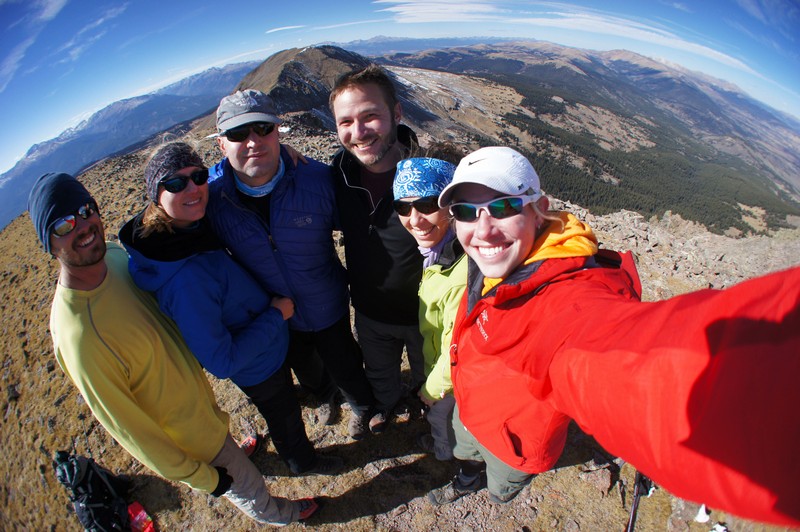
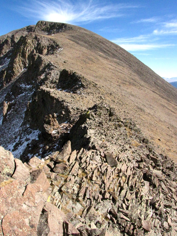
Caroline brought a fisheye lense for our summit shot.
Image taken by Caroline (obviously).
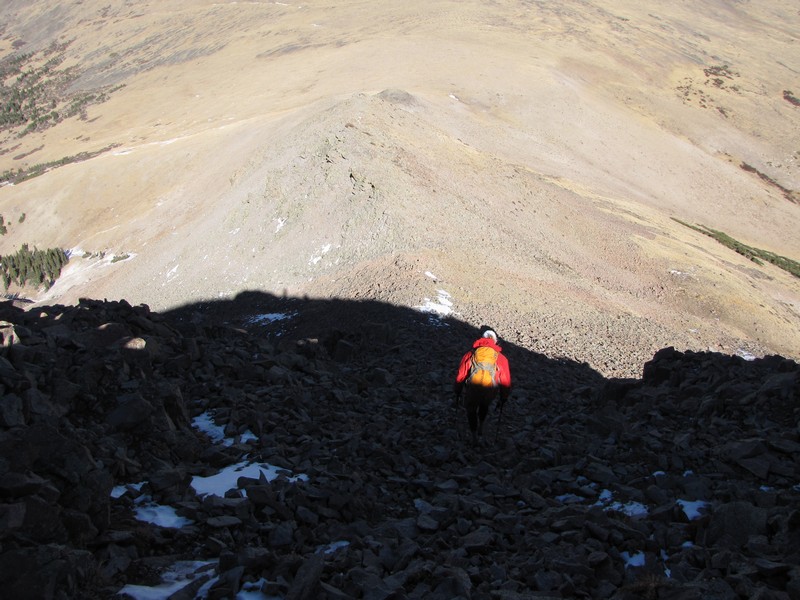
The ridge back down was pretty steep in a few places. I'm not sure whether I'd rather do this loop West-to-East or East-to-West. Both will have their difficulties on the way up.
As it goes with fall hikes the sun seemed to be sinking behind the ridges fast even though it was only about 3:00 when I took this photo.
After getting off of the ridge, the terrain eased immensely.
I was not disappointed with hiking these two peaks. The trip had been beautiful, and I made some new friends.
We found a road on our way down that wasn't on the map but it took us in the right direction and eventually joined up with the one we wanted.
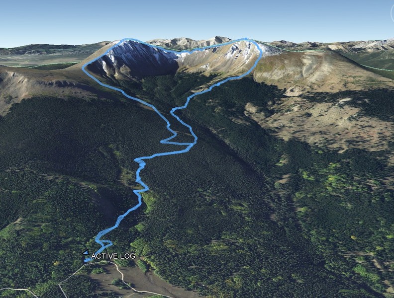
This is a Google Earth view of our track from the day.
You are welcome to contact me with any questions regarding questions about, or problems with, this website. Just send me an e-mail at josh_friesema@hotmail.com.