
May 27, 2013
This was the second trip on Memorial Day weekend with Britt Jones and Steve Gladbach. We hiked Gladstone Peak the day before with Ryan and Shawn. Read that trip here. This hike was a little shorter and less elevation gain which we appreciated since we also had a seven hour trip home afterwards.Map:
Click here to download the gpx file.
Profile:
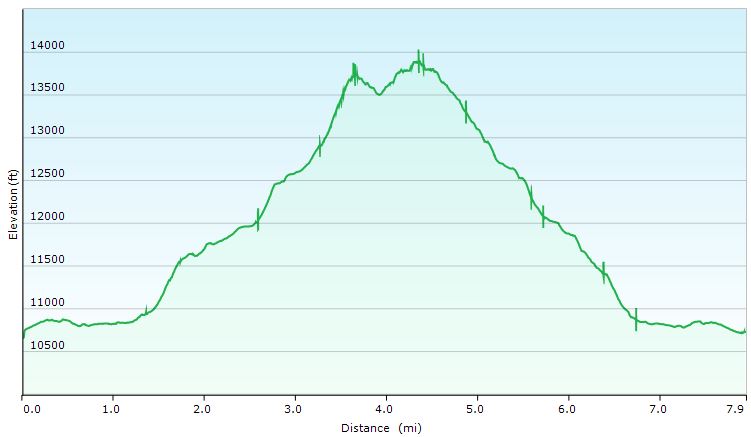
| Distance: | 7.9 miles |
| Elevation Gain: | 3,819 vertical feet |
| Time: | 7 hours |
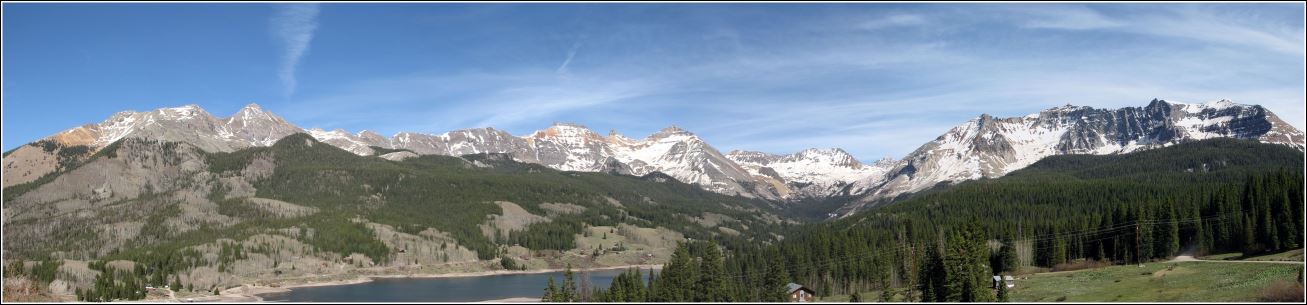
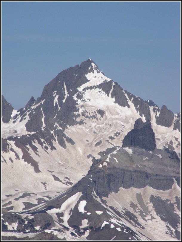
On our drive in the day before the hike we stopped above trout lake and scoped out Vermilion Peak. It's the peak directly above the right edge of the lake.
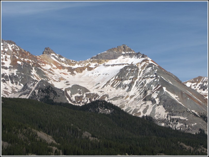
This is zoomed in on Vermilion, it's the one on the right of the photo.
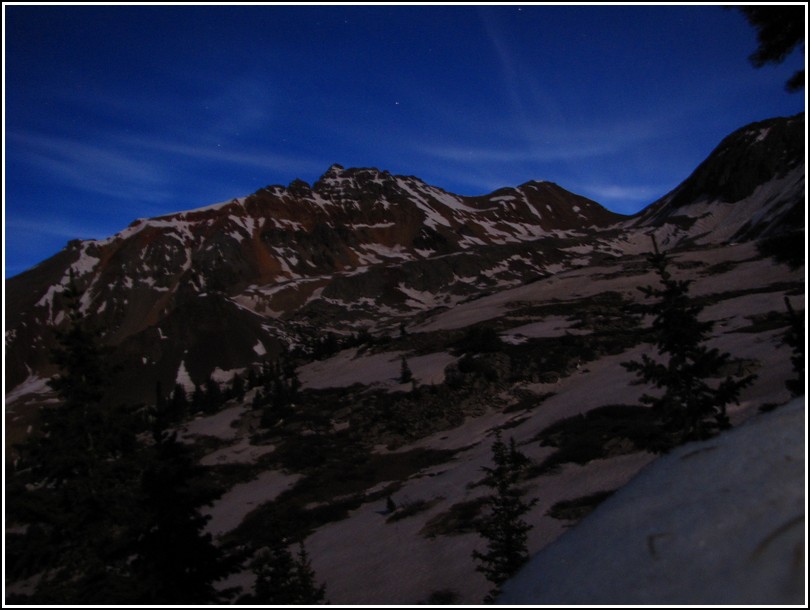
As with the previous day we made a very early start. We got up at 1:45 again. Well that's the time I set my alarm, but my mind incorporated it into my dreams for 15 minutes before it finally woke me up. In spite of that we were on the trail by 3 (we had a little bit of a drive to the trailhead). Once again we found ourselves wandering through the woods in deep snow. Once again we lost the trail, but we knew the general route to take.
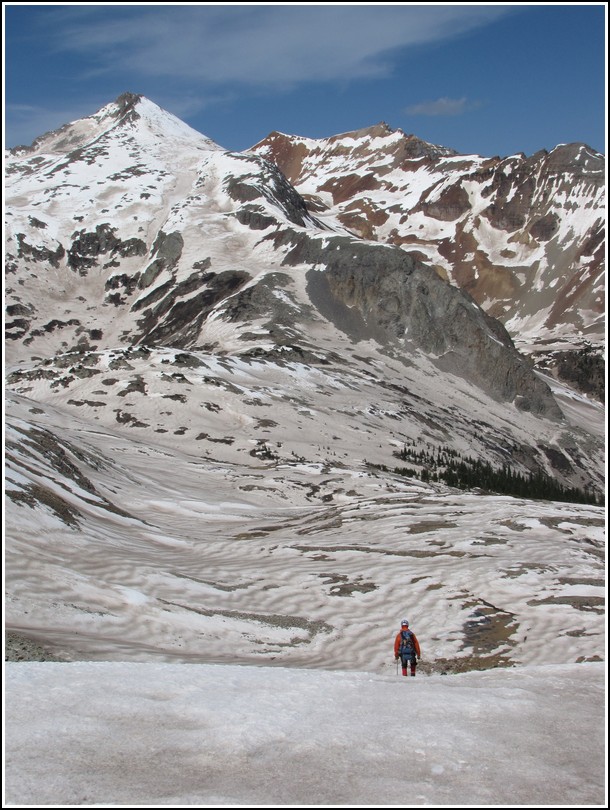
Vermilion is on the left and Fuller on the right in this photo.
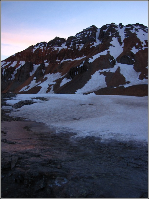
The weather was perfect again. The overnight lows were cold enough to freeze everything up nice and solid.
I love seeing the sunrise from above treeline. Definitely eases the pain of the early wake up call.
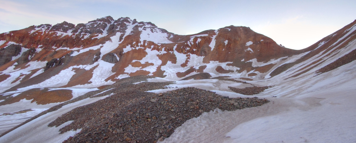
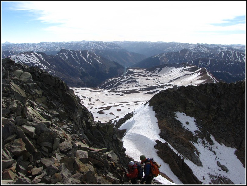
We were hoping to find a good snow line to the Vermilion/Fuller saddle but we didn't find one so we took the standard route. Steve cut off Fuller Peak since it's not a ranked peak. Britt and I went ahead and did it. The route up to Fuller as well as Steve's cut off route were on very loose rock.
Hover over the image to see the route.
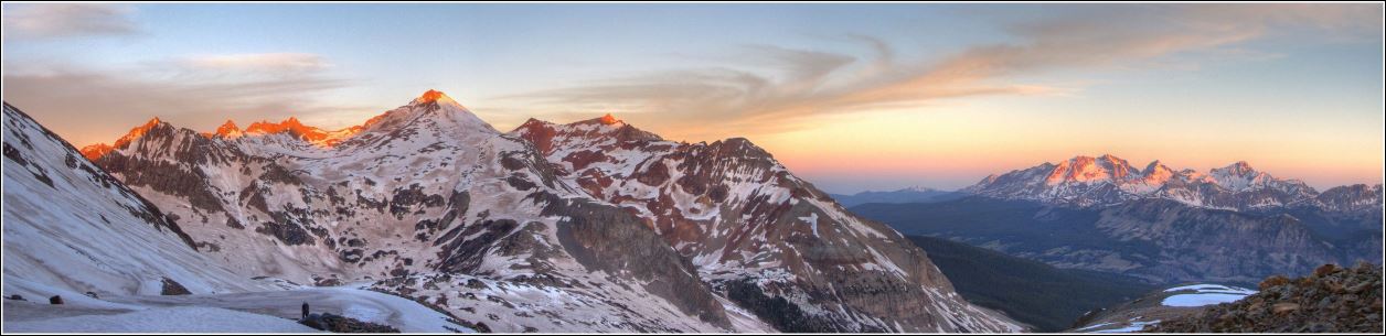
The summit panorama from Fuller. Click for a larger version.

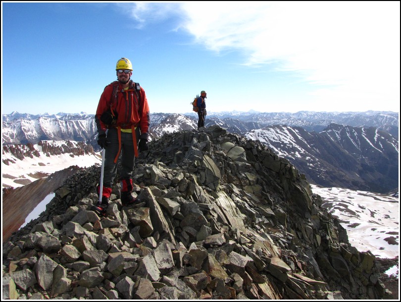
Steve at the saddle.

Vermilion from the summit of Fuller. Look close you can see Steve on the saddle.

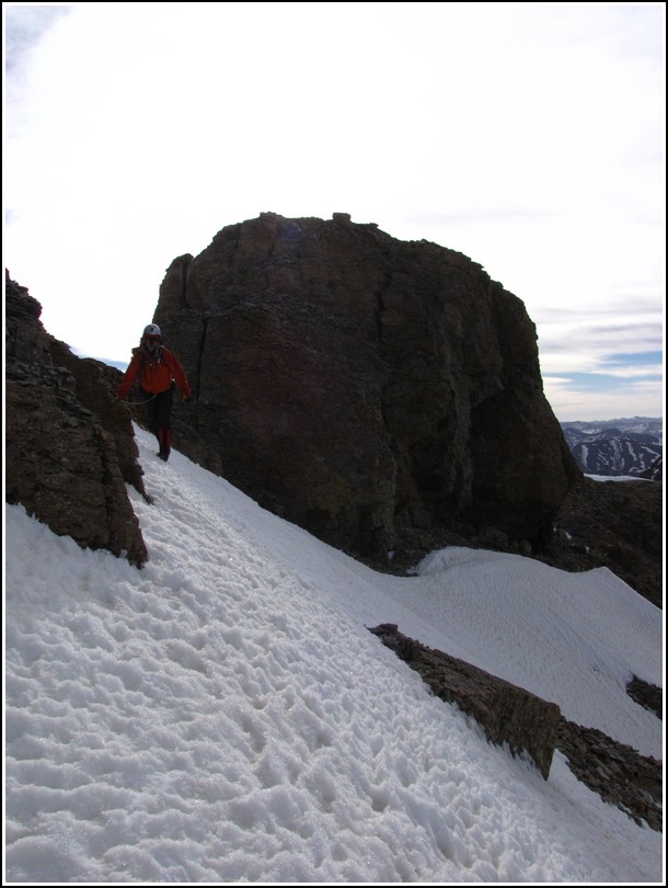
This was my favorite feature on the ridge that we had to by pass. I thought it looked like one of those Moai statues from Easter Island.
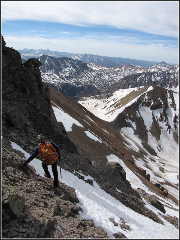
Britt traversing on one of the steep snow fields we had to cross.
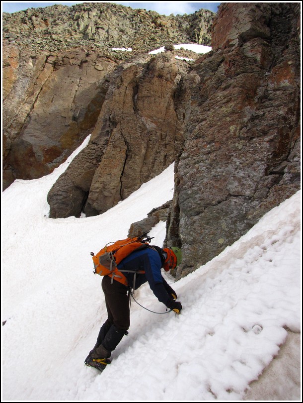
Steve side stepping his way into the last gully we had to ascend to start the summit pitch. The snow was pretty hard. We had a hard time getting our axes to penetrate the snow. Fortunately this section was short since we had to move pretty slow.
Britt entering the final snow field.
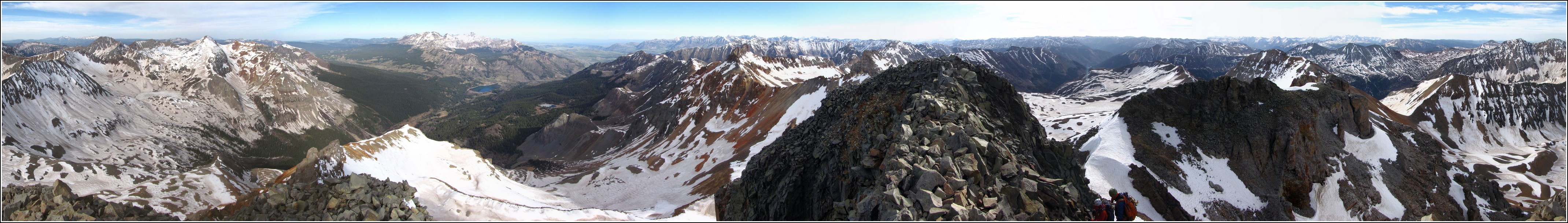
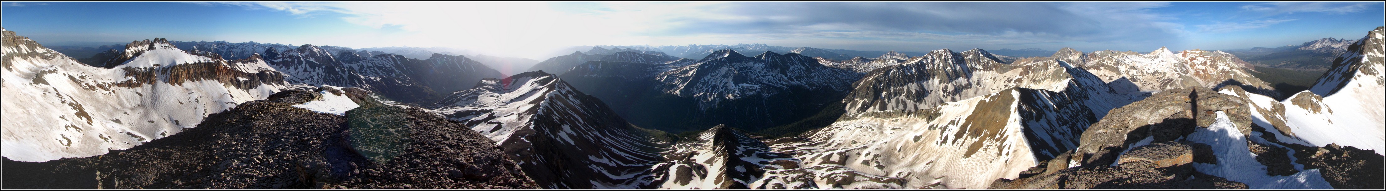
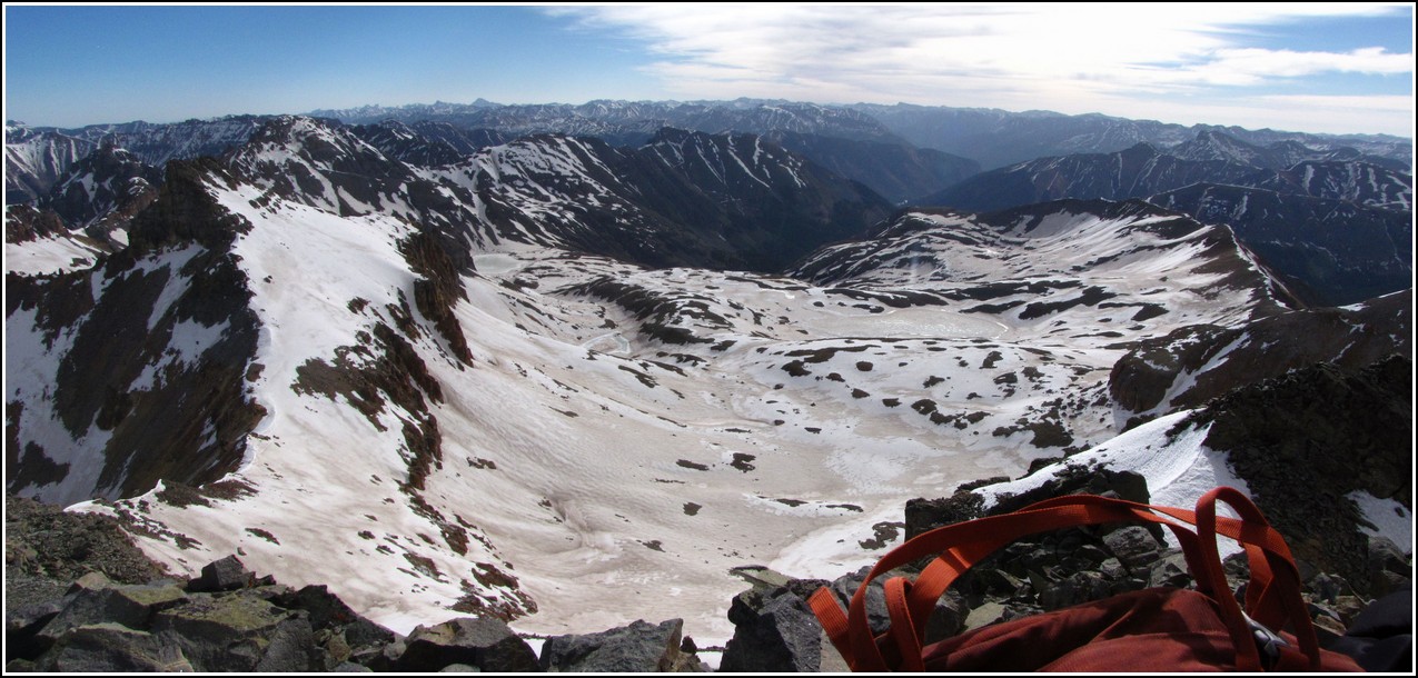
The summit panorama from Vermilion. Click for a larger version.
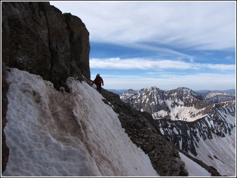
Steve and Britt making the final steps to the summit.
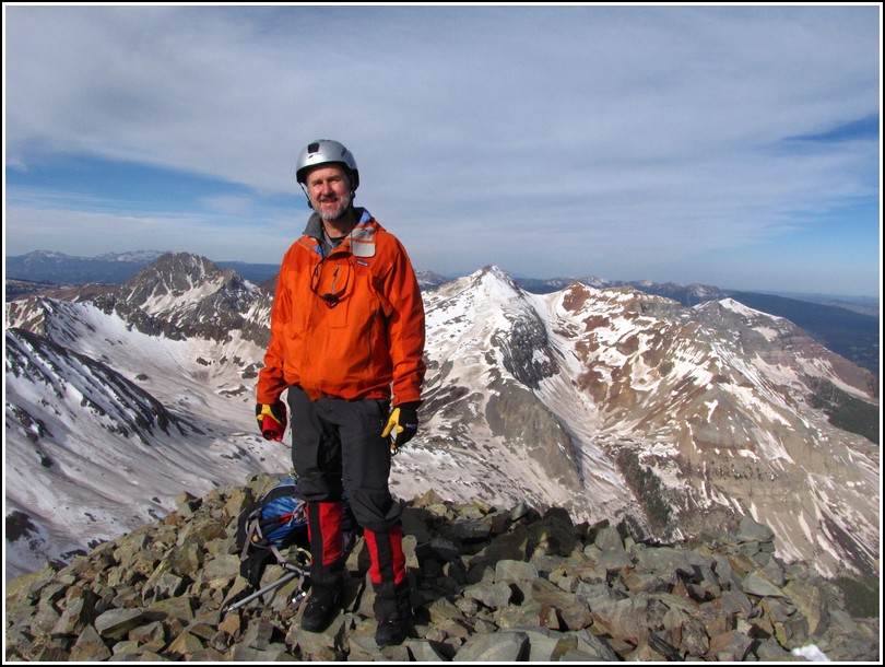
Steve and I on the summit.
Britt on the summit.
Ice Lakes Basin living up to it's name.
Passing some of the towers on the way down.
Steve working his way past the last of the steep snow fields we had to cross.

Back on the saddle below Fuller we rested a bit after finishing up the tough ridge.
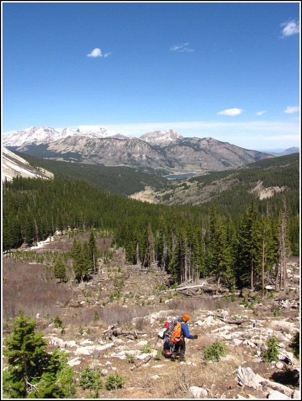
A view of our previous day's journey, Gladstone Peak.
Britt just before a nice long glissade into the basin below.
We found a nice large avalanche path to descend, cutting off some mileage from our trip up.

Three tired but happy hikers.
You are welcome to contact me with any questions regarding questions about, or problems with, this website. Just send me an e-mail at josh_friesema@hotmail.com.