KIT CARSON and CHALLENGER POINT
 |
 |
 |
 |
 |
 |
 |
 |
 |
 |
 |
 |
 |
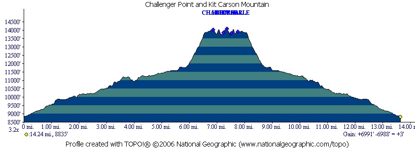
Jason and I did this as a two day trip, since it entails gaining and losing over 7,000 feet in elevation and over 12 miles of hiking. We had been here the prior winter but could not attempt the peaks due to extreme avalanche danger. We decided to camp again at Willow Lake.
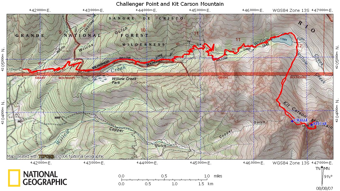
Click the map to see a larger version.
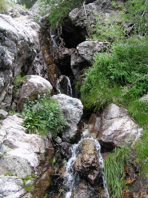
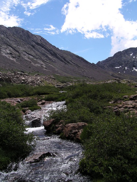
During the hike up to the lake there are several nice streams that cross the trail.

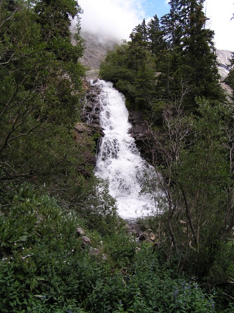
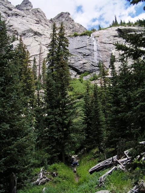
As you near the headwall there are some great waterfalls too.
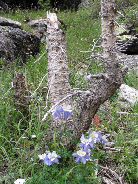
There are a lot of flowers that grow in this valley.
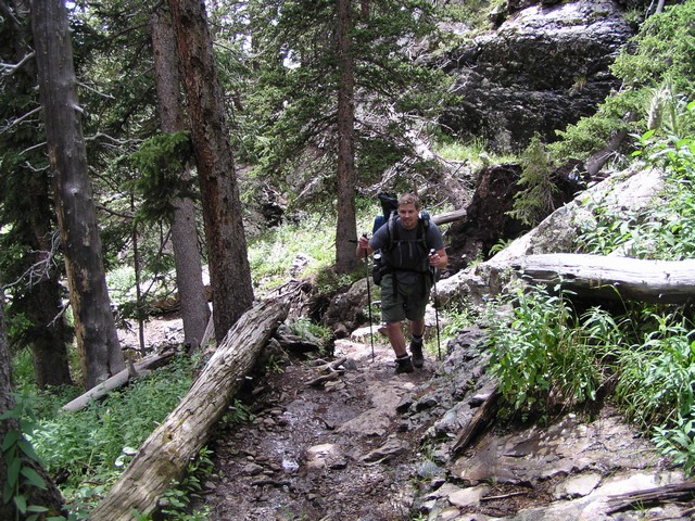
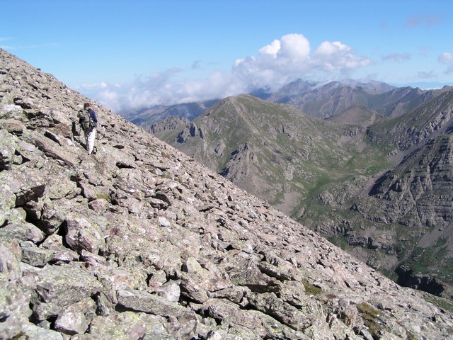
The trail is well maintained an easy to follow, though a little rugged at times.
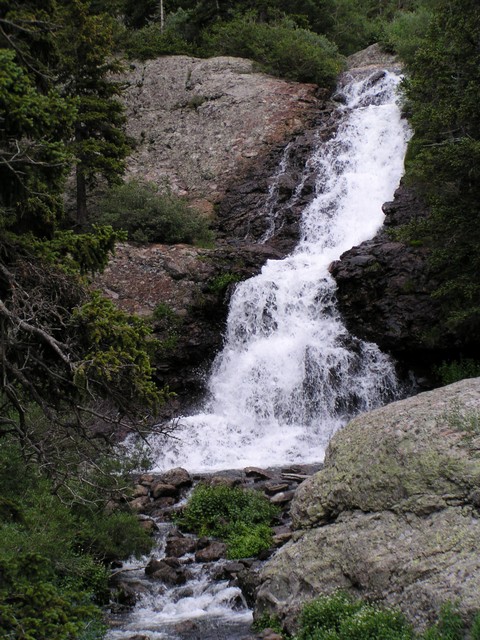
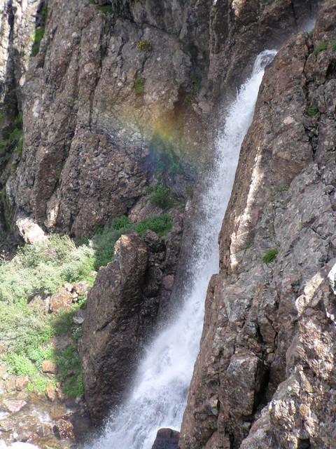
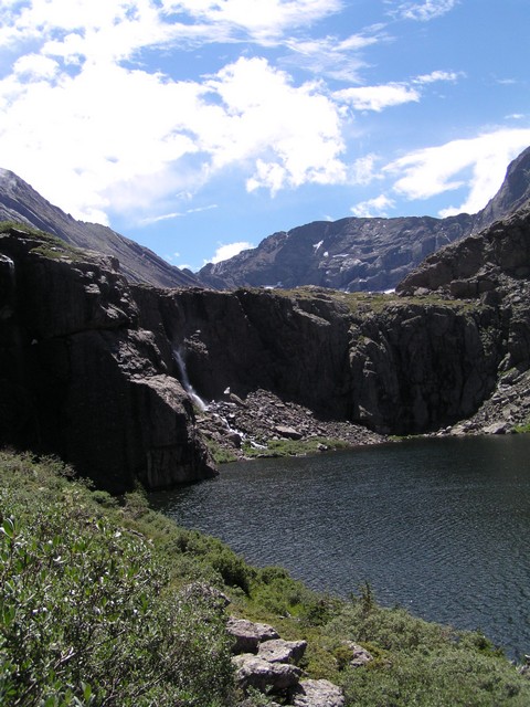
Just before you reach Willow Lake you'll pass a spectacular waterfall.
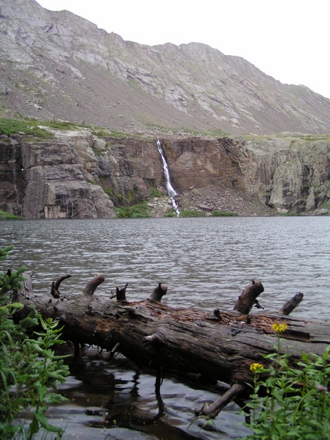
Then the lake opens up before you.

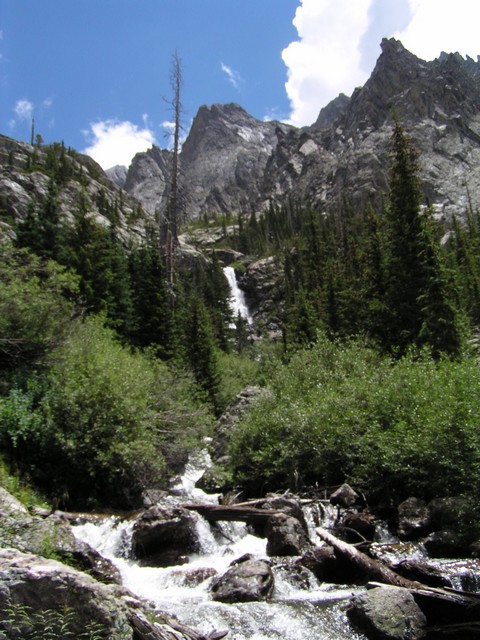
There is a fantastic waterfall above the lake as well.
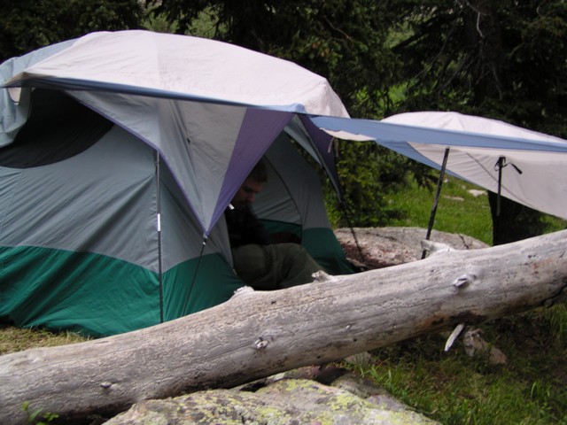
When we arrived we had barely enough time to set up camp before a huge hail storm opened up.

We waited out the storm for a while. There was so much lightning striking the surrounding valley that the thunder never stopped. I couldn't believe how loud it got.
Again due to our early start that morning I didn't get any pictures until sunrise when we were nearly ontop of Challenger Point.
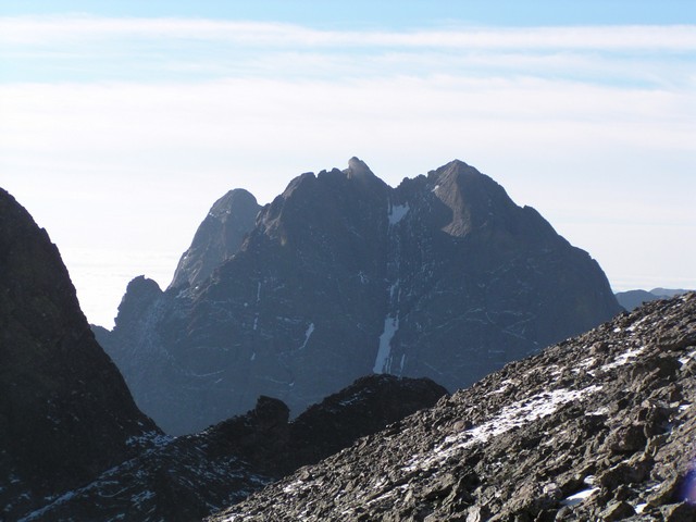
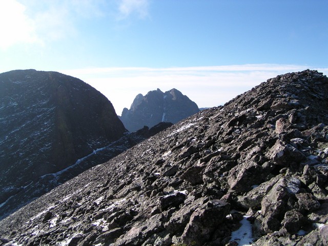
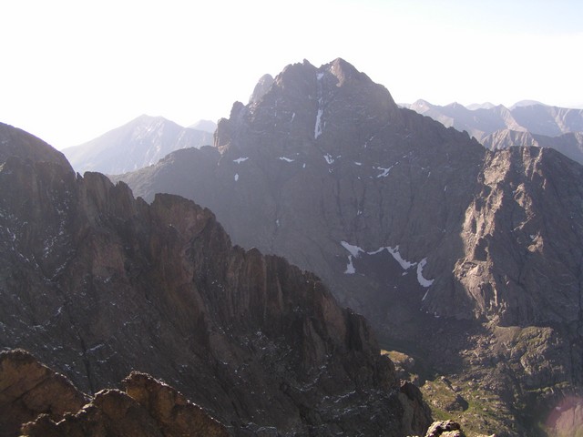
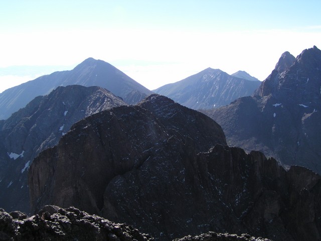
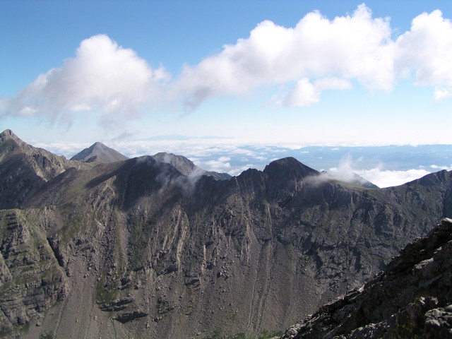
The Crestones make a nice backdrop for the hike.
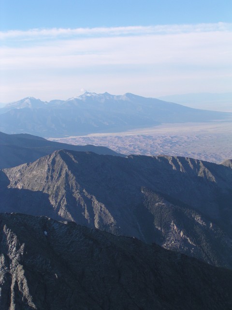
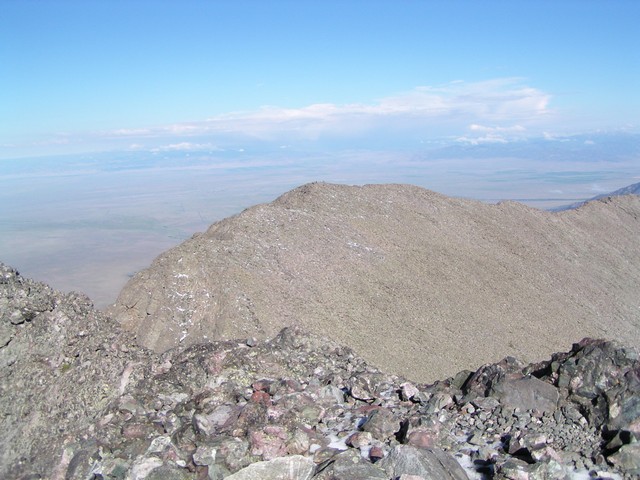
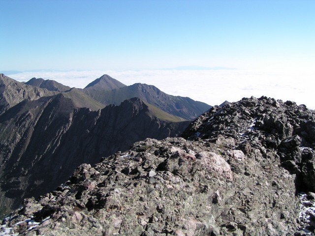
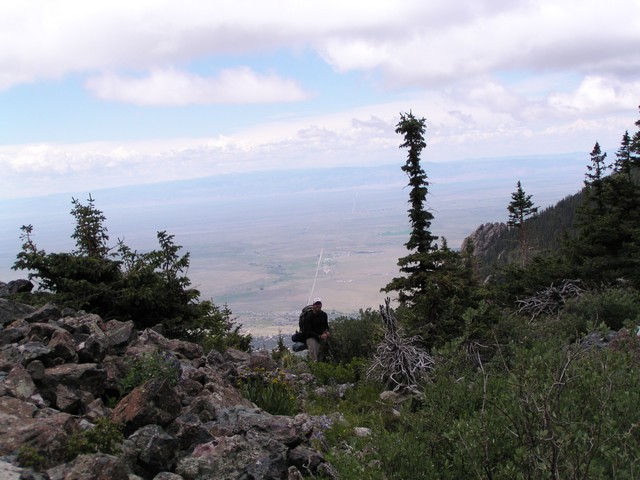
The sand dunes and the Blanca Massif are visible from challenger's summit.

Jason on the summit of Challenger. Challenger Point is one of the questionable 14ers because no official survey has been done to verify that it rises 300 feet above its connecting saddle. Some surveys have shown it does an some have shown it does not. On average the surveys show a 302 foot rise though, so it currently is considered a 14er.

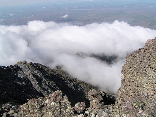
From the summit of Challenger we could see Pikes Peak rising out of a sea of clouds.
We then headed over to Kit Carson via the Kit Carson Avenue. This is a natural ledge that provides passage around Kit Carson to the easier Southeast face.
The view of the Crestones gets more impressive as you traverse along the ledge.
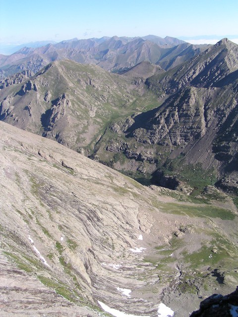
From the summit of Kit Carson you can see all the way back down to Willow Lake. It took less than an hour to get to the summit of Kit Carson from Challenger Point even though the route is far from direct.
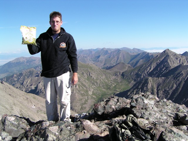
Thank you Todd for sponsoring this climb with a bag of sunflower seeds.
Challenger Point as seen from Kit Carson
At the time we hiked this this point in the foreground was nicknamed Kat Carson, but has since been renamed Columbia Point in memorium of the Space Shuttle Columbia incident. (Similar to Challenger Point being named after the Space Shuttle Challenger incident.)
The summit is kind of narrow, but is made up of very solid conglomerate rock.

Me on the summit of Kit Carson.
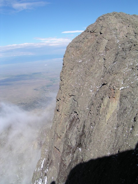
Challenger Point's impressive South face.
On the return trip we traversed below Challenger.
Clouds were beginning to move into the valley below us, and we knew from the weather pattern the day before that we may have some big storms coming.
It was amazing to watch clouds form in seconds over the peaks.
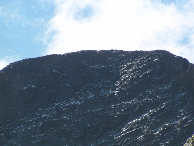
During our descent we saw another hiker standing on the summit of Kit Carson.
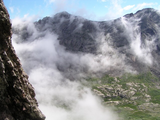
The clouds continued to appear and disappear as we descended.

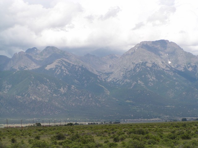
Across the valley is Red Mountain, one of the centennial mountains.

The view of Willow Lake from above.
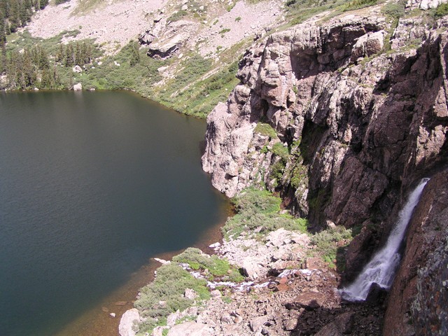
The falls of Willow Lake.
The stream above the falls coming out of Willow Creek Basin.

The stream disappearing over the top of the falls.

Me standing on the cliffs above Willow Lake with Kit Carson Mountain in the background.
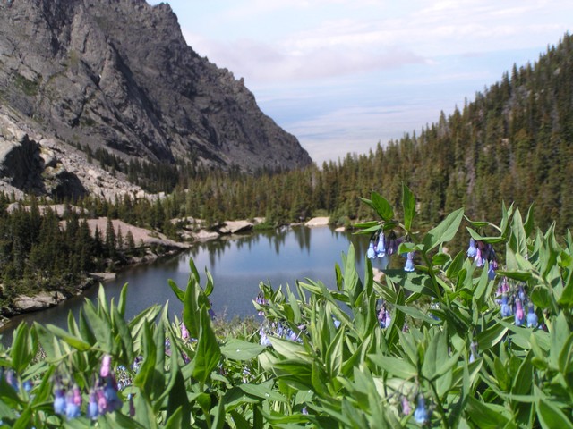
Blue Bells growing above Willow Lake.
The falls into Willow Lake.
That afternoon we packed up our stuff and started hiking back down to the trailhead. The falls below the lake were even more beautiful that day.
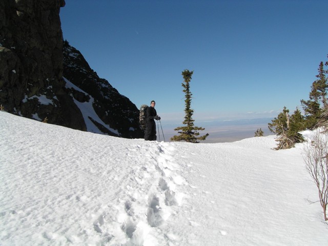
These two pictures were taken in the same spot, one on our winter trip and one on our summer trip.
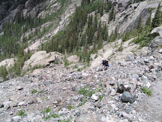
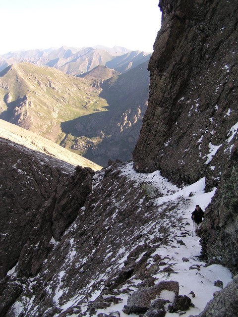
Descending the headwall.
Below the headwall.
Willow Creek below the headwall.
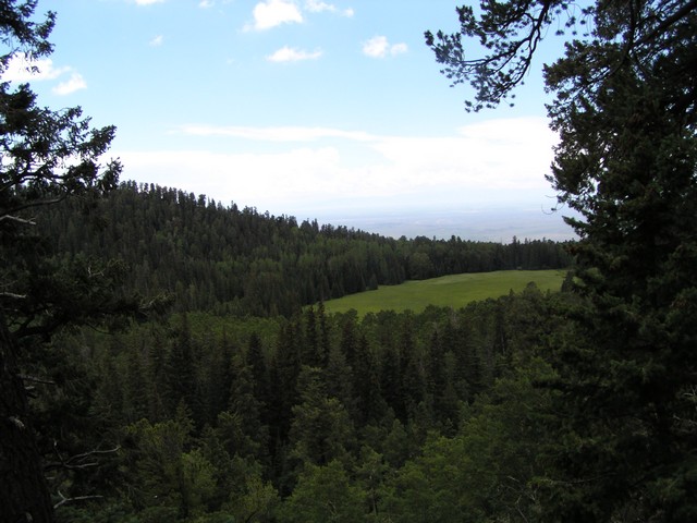
Willow Creek Park appears to be an old lake that filled in with sediment.
Looking back as we were leaving it looked like the afternoon storms were building.
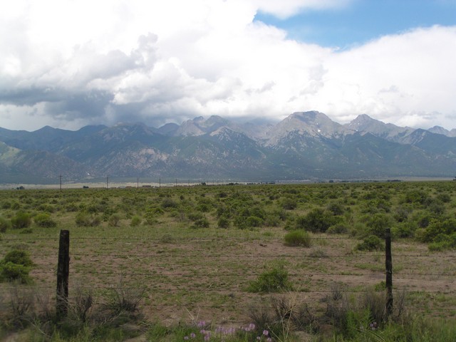
Willow Creek Valley is in the center of this photo with challenger Point and part of Kit Carson visible to the right.
You are welcome to contact me with any questions regarding questions about, or problems with, this website. Just send me an e-mail at josh_friesema@hotmail.com.