MOUNT OURAY
 |
 |
 |
 |
 |
 |
 |
 |
 |
 |
 |
 |
 |
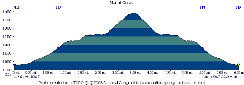
This was my first hike since my bout with Cryptosporidium. We (Jason and I) chose this hike to be a fairly easy hike to see how I did. The round trip is 6.4 miles with 3200 vertical feet and the summit is just under 14,000 feet. Sounded simple enough.
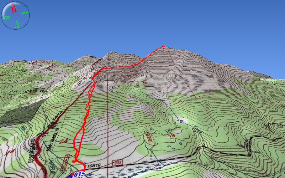
Click the map above to see a 3D version.
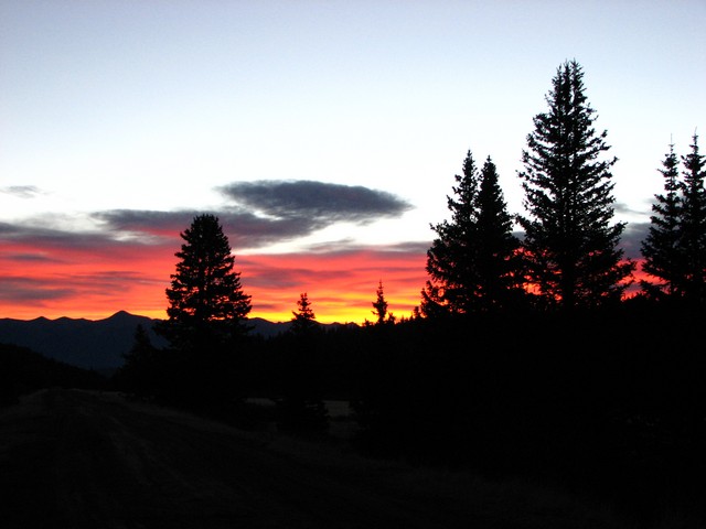
We started hiking at 6:30 just before sunrise. It was a beautiful morning.
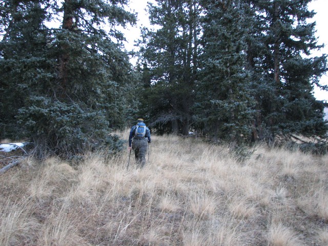
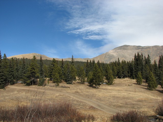
There really was no trail after getting 20 yards from the trailhead. Fortunately this route is very easy to follow anyway.
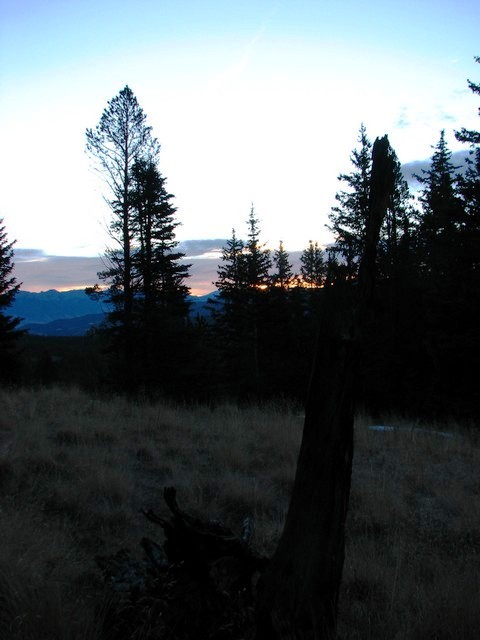
The route wanders through some fairly loose trees and is very enjoyable hiking.
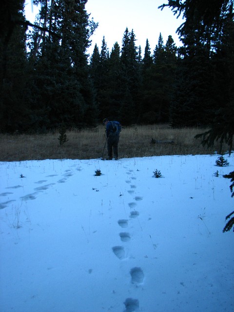
Even though it was November 17th this was the largest snow field we dealt with the entire day.

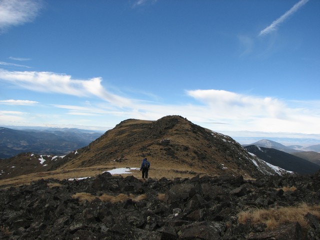
Not long after breaking treeline the route leads up to a main ridgeline. From here we saw the first bad sign of the day, clouds were forming and blowing across the summit.
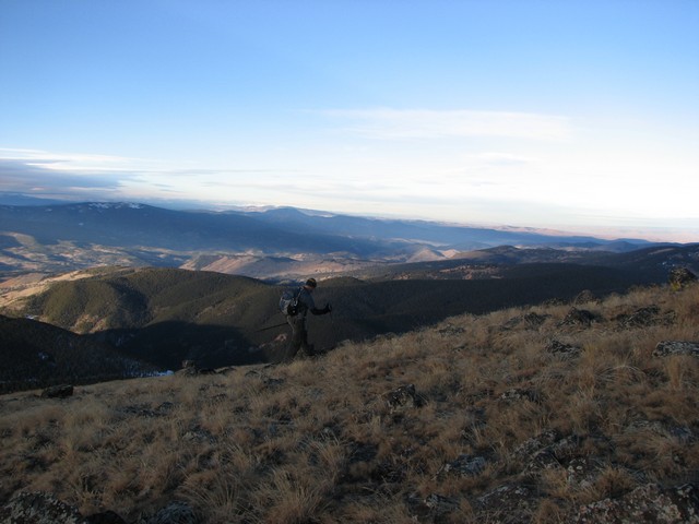
The ridge is fairly easy hiking, but the winds started to pick up.
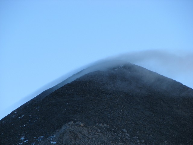
It was amazing to watch the clouds appearing on the summit. If any meteorologist reads this I'd love to know if these are lenticular clouds or some other type. (my e-mail is at the bottom of the page)
I filmed a short video of the clouds. To see it click here
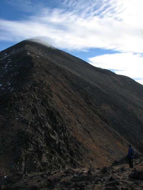
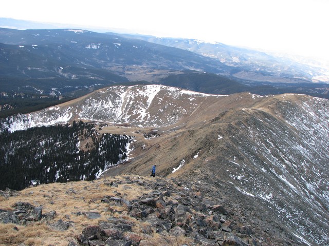
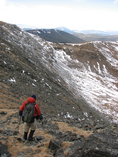
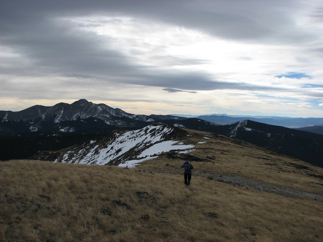
The west ridge of Mount Ouray was rougher than I expected. It never gets above class 2, but takes a long time to traverse due to a lot of boulder hoping an no trail. We stayed on the southern side to avoid the winds and once above 13,000 feet all the rocks were covered in a heavy frost so it was an especially long trip.
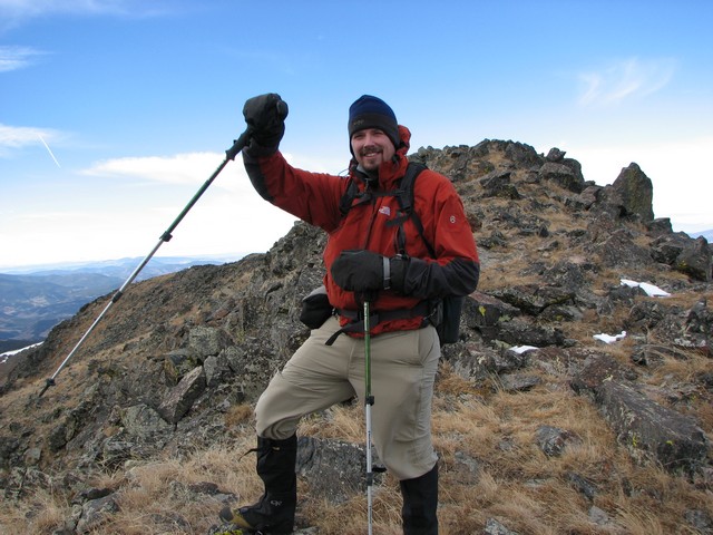
When we reached the summit the temperature was in the single digits and the winds were probably 40 mph with much stronger gusts. Jason enjoyed the snot icicles that had formed on my mustache. The clouds continued to form around the summit while we were there. It was pretty cool to be in the middle of that, check out the video here.
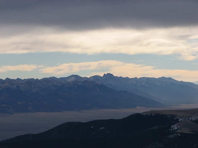
Though the day had become cloudy, the cold air made for totally clear views. These are the Sangre De Cristo mountains.
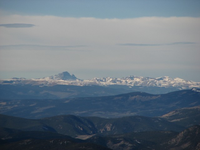
The view of Uncompahgre.
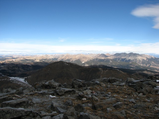
The Sawatch Range.
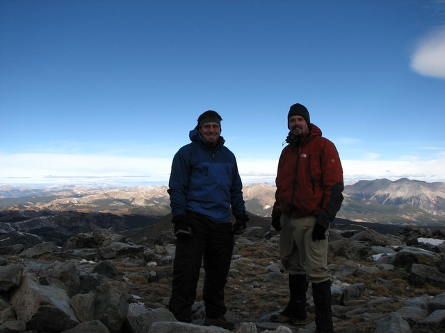
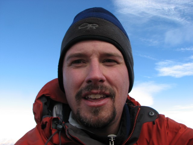
Our chilly summit shot. We had not taken winter serious enough since there hadn't been any snow. We were wearing everything we brought and it wasn't enough to keep us warm.
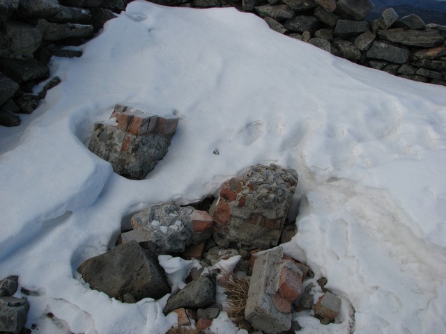
Apparently the old train that used to run over Marshall Pass was at one time a popular ride for tourists that would climb Mount Ouray. From the looks of the summit there was once at least two buildings up there, and at least one appears to have had a fireplace.
The view of Antora Peak to the south was beautiful the entire trip.
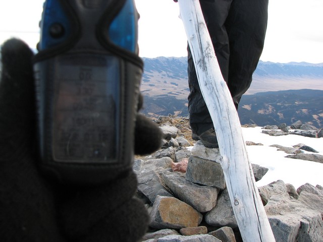
I noticed one interesting thing about the summit. Officially it is listed at 13,973 in elevation, but my GPS read the very top point as being 14,001. I do realize that my GPS is a far cry from what surveyors use, but on all the 14ers it has always read within 2 feet of the new official elevations when I let it set for several minutes. I also realize that stacked up rocks don't count in the measurement. That said though, I wonder if there is possibly another fourteener hiding out there that just didn't get a fair survey.
On the descent we chose to just deal with the wind and stick to the trail on the ridge. We got some windburn and numb faces and hands, but getting down to the warmer lower elevations more expediently seemed worth it.
Phenominal just how little snow there is so far this year.
This is a demonstration of my very scientific method of estimating wind speed. I hold my pole by only the strap and see what angle it hangs freely at. This was back down at 12,800, but it was still a little windy down there too.
The sky to the west was a beautiful blue.
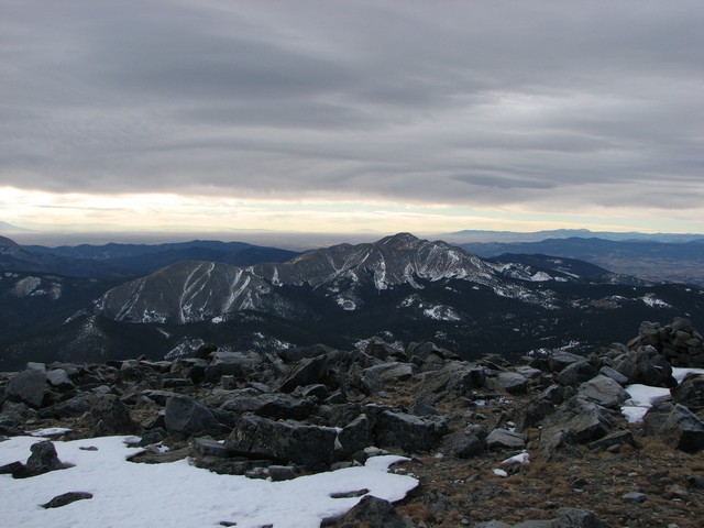
The skies above us stayed cloudy and showed how much movement was taking place in the higher levels of air.
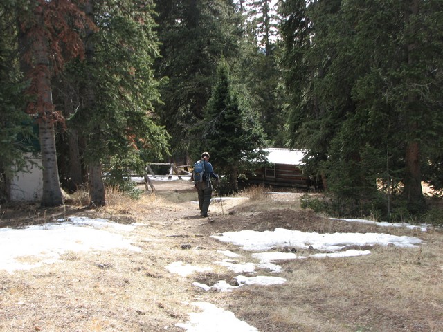
The sun finally came out for us a little when we got back to the trailhead. The cabin in the picture is cabin mentioned in Roach's book. It is open to the public to use on the honor system. It used to be where a railroad worker who maintained the water station lived.
The entire route is in this photo. Follow the ridge on the left up until it meets with the west ridge of Ouray. Then just take Ouray's west ridge to the summit. Simple as that.
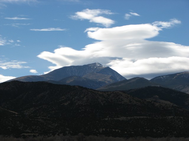
Mount Ouray as seen from near Poncha Springs.
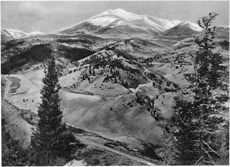
I also found this historic photo of Mount Ouray.
You are welcome to contact me with any questions regarding questions about, or problems with, this website. Just send me an e-mail at josh_friesema@hotmail.com.