Pikes Peak via the Y Couloir
(Descent via the Barr Trail) |
 |
 |
 |
 |
 |
 |
 |
 |
 |
 |
 |
 |
The North Face of Pikes Peak has always intrigued me. I live in Woodland Park and have a great view of this face, however it took years for me to finally getting around to climbing the Y Couloir. After climbing it I wish I hadn't waited so long to do so. It's a fantastic route.
Special thanks to Jason Friesema on this hike. He broke trail for the entire trip since I was sick and short on energy. I couldn't have made it without you.
The route:
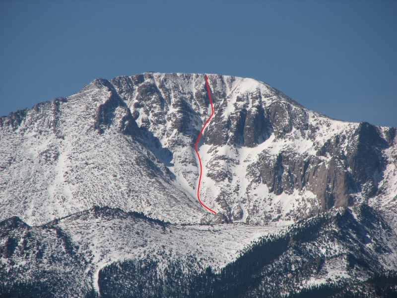

Click map for larger version.
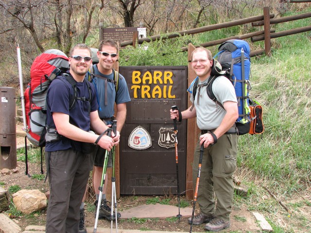
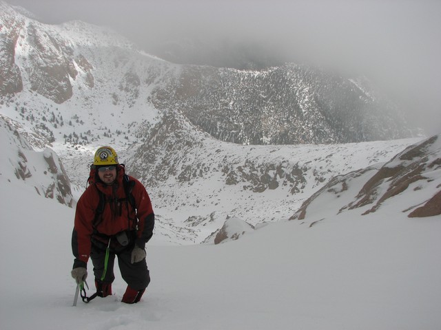
We started the hike on a Friday afternoon at 3:30.
We began in short sleeved shirts, and Jason even had shorts on. A fact that was hard to believe later on when we were on the summit.
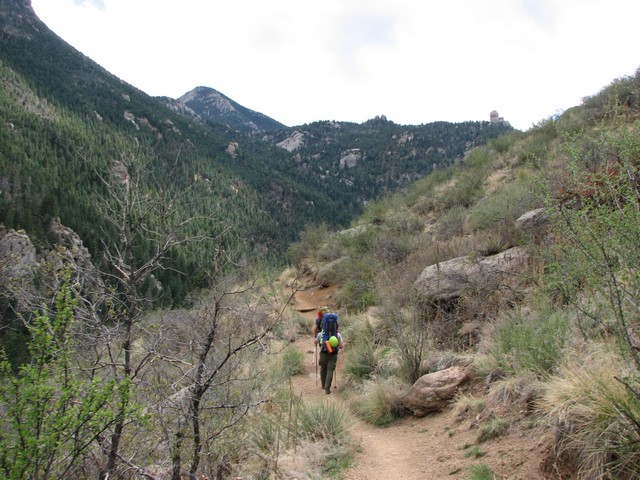
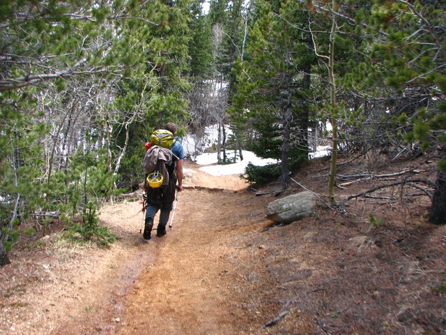
The first couple miles up the Barr Trail gain elevation pretty fast.
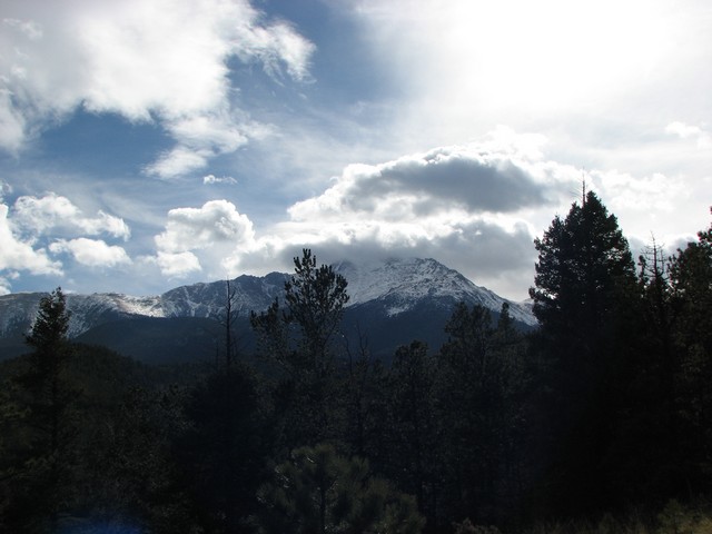
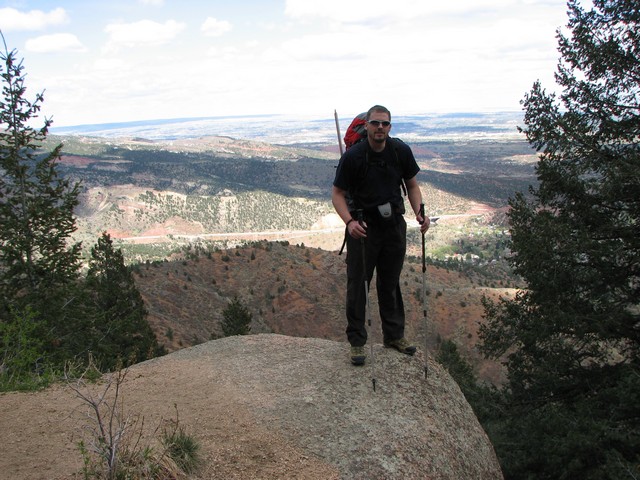
Pikes Peak comes into view after getting beyond the Manitou Incline area. From here it doesn't look like a very intimidating mountain.
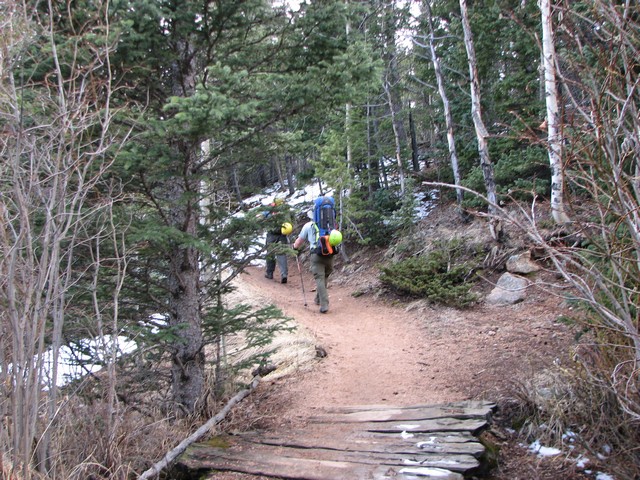
There are about 3 miles of hiking before the Barr camp that are pretty level and easy enjoyable hiking.
As we approached Barr Camp the ground became snow covered. It was all snow that had occured in the last week though.
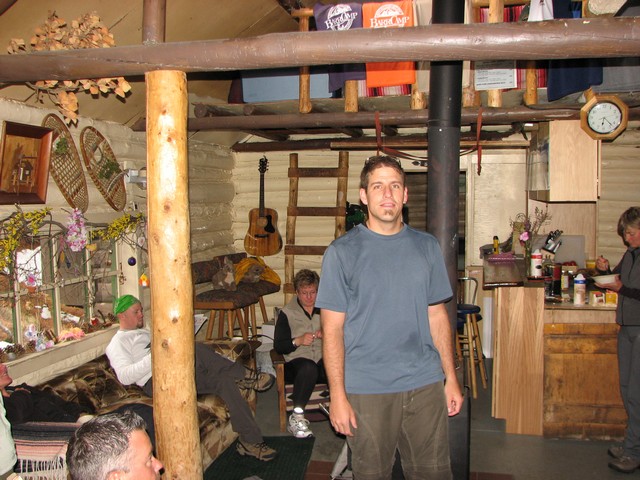
We hung out at Barr camp for a little while, talking the caretakers and the other hikes. I would love to come back sometime and spend a night or two here.
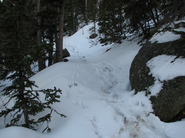
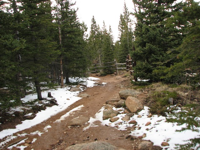
Not long after Barr Camp the trail was buried in old snow. Some 2 and 3 foot drifts still remained on the Trail.
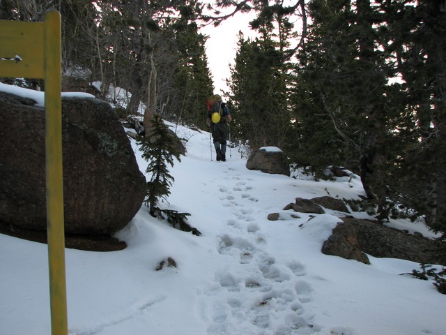
When we reached the turn-off for bottomless pit we found that the trail was completely unbroken.
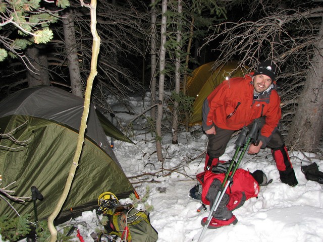
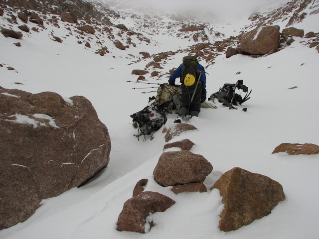
We hiked a couple hundred yards up the bottomless pit trail and set up camp. There isn't any good camping on this steep slope in the summer, but with all the snow we just built a couple of tent shelves on some large drifts.
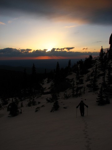
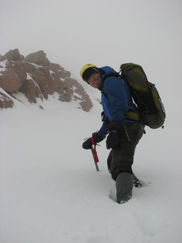
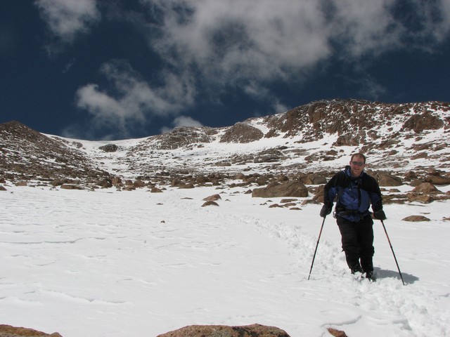
The next day we woke up at 4am to get a good early start. Unfortuneatly since the trail was unbroken and there was so much snow, we lost the trail after a while. It's easy enough to find the way though, just slowly gain elevation and contour around until you reach the bottomless pit.
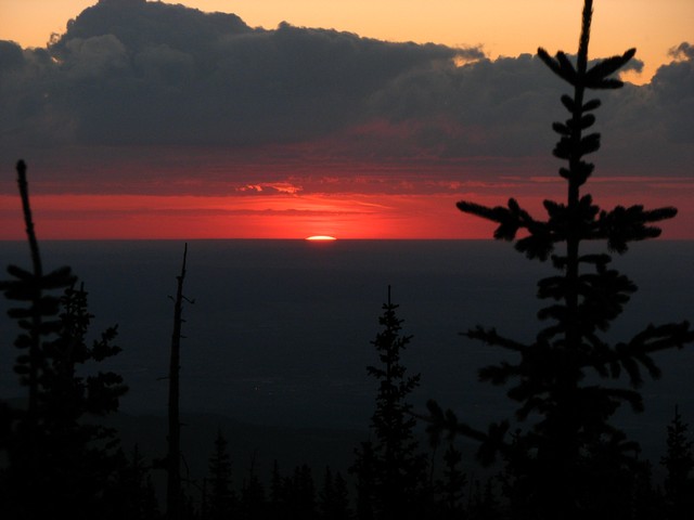
The sunrise over Colorado Springs was beautiful that morning.
What a great way to start the morning.
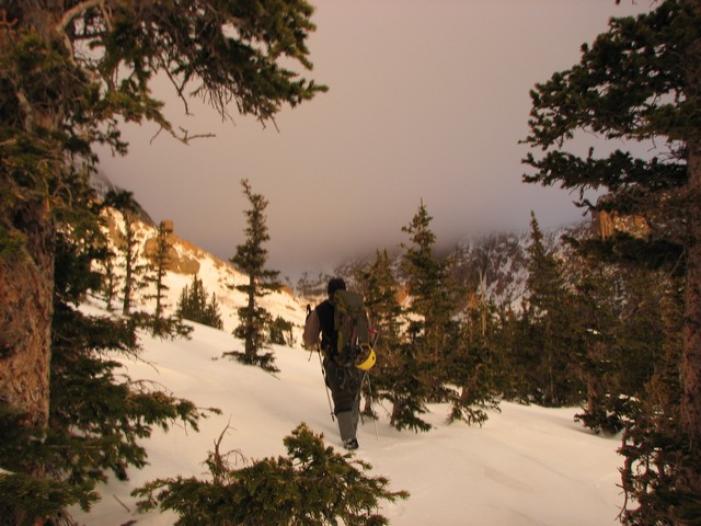
Unfortunately the Peak was socked in with clouds.
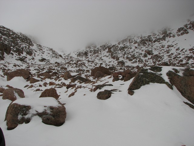
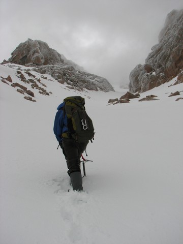
Once in the bottomless pit we realized it was going to be a little difficult to identify the Y couloir since we couldn't see anything above us. Fortunately I had a good photo of the north face (from above) that we used to figure out our location accurately.
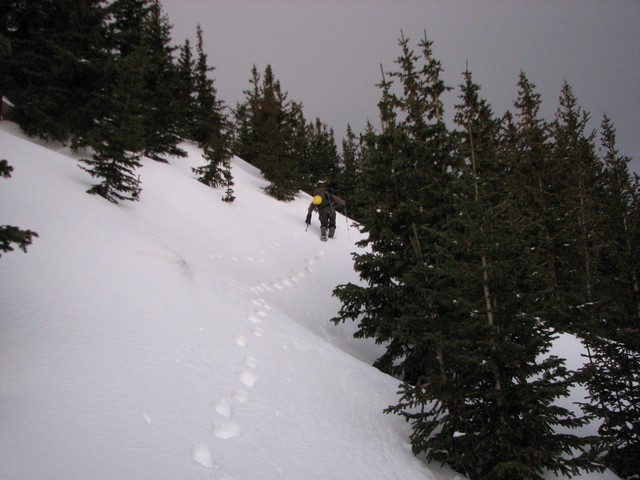
We knew that by staying in the lowest couloir we would enter the Railroad Couloir and then we just needed to look for the entrance to the Y Couloir on our right. When we came across the old pickup (some guy committed suicide by driving it into the bottomless pit) we knew we were on the right track. The entrance to the Y is just 600 feet beyond this truck.
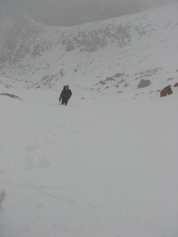
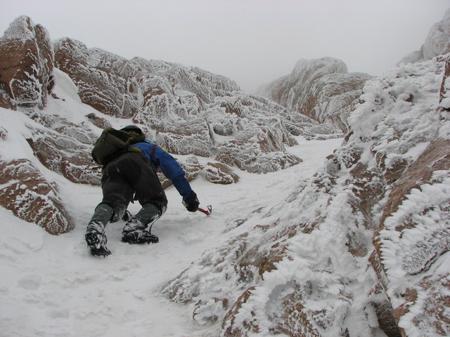
After finding the Y and starting our way up the weather deteriorated. The wind picked up and graupel began to fall.
Most the time our visibility was very low, but every once in a while the fog would break and we could see the route ahead.
There was a 3 to 5 inch layer of fresh loose snow on top of some very solid snow most of the time, but a couple of times we ran into some deeper stuff that made us nervous. Moving from one side of the couloir to the other got us out of the deep snow. Click the photo above to see a video from in the couloir.
Although I was still sick with some upper respiratory issues, I was having a great time.
Most descriptions talk about a rock band that must be climbed, but this must have been a heavy snow year. The most we had to do was this slightly icy section just below the split for the left and right branches.
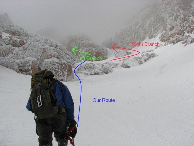
Frequently people who try to climb the right branch end up climbing the left. We made this mistake too. After learning from this mistake here is a photo of how to get stay on the correct route. You do have to veer right to get into the left couloir still, which is what caused the confusion for us. This actually wound up being a good thing though, the finish of the left branch is phenominal. It's literally 45 degree climbing right up to the very last step onto the summit. Awesome.
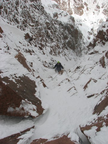
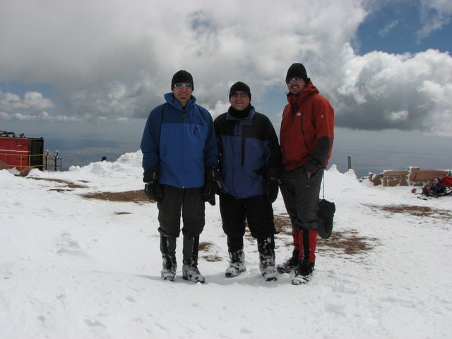
The last 100 feet are rarely snowfilled, but again we are having a nice year for the Y couloir. This is Chad Board finishing out the climb.
Then, wham. You're on the summit and everything is flat.
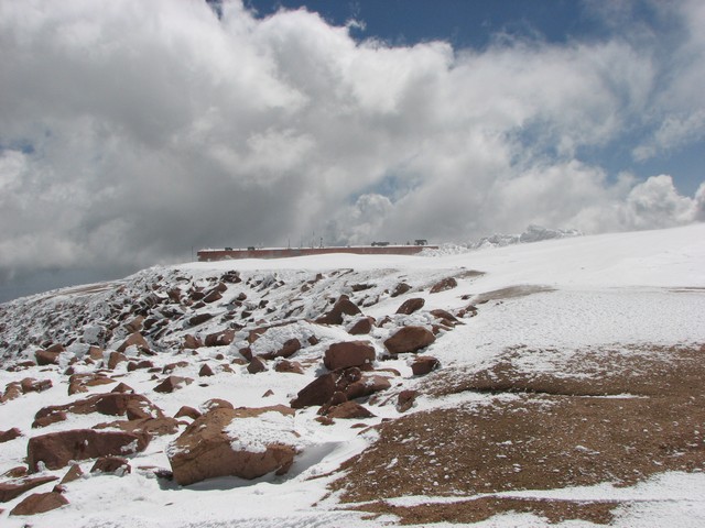
We had been looking forward to enjoying the summit restaurant, but unfortunately with all the snow and wind the road wasn't open and the trains weren't going to the summit so the summit house was closed.
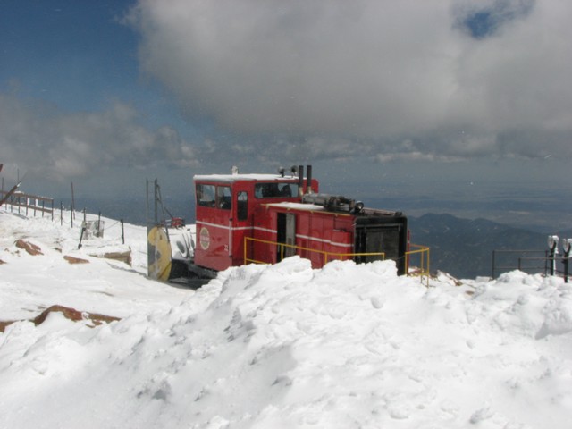
The plow was up there, a bobcat, and a team of guys with shovels trying to get it ready to open the next day.
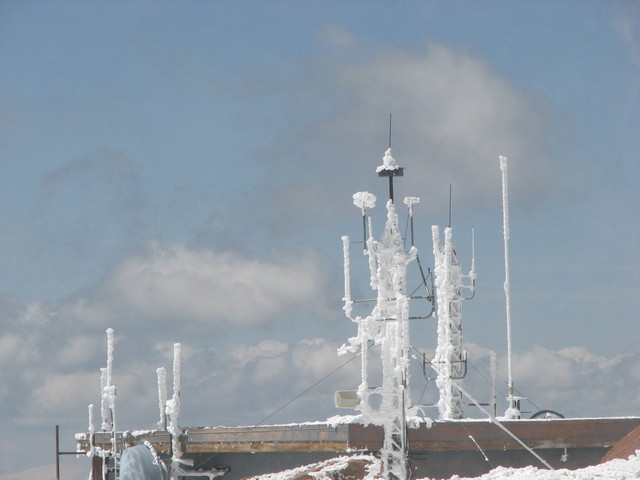
I love the look of the antennaes after icy winds.
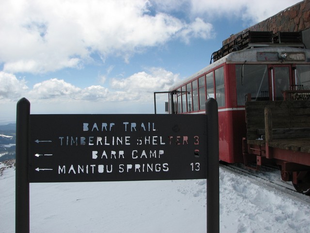
We descended via the Barr. The trail sign that says 13 miles to Manitou Springs is kind of depressing.
The trail was still socked in with snow so we just descended the Barr Couloir (not really a couloir but the narrow snowfield that runs all the way up the center of the east face of Pikes Peak).
Once back on the trail we were exhausted and just tried to keep a steady pace back to the car. This is a brutally long finish to a hike. I'm glad we did it, but it will be a while before I return for this much punishment.
You are welcome to contact me with any questions regarding questions about, or problems with, this website. Just send me an e-mail at josh_friesema@hotmail.com.