The SnowCap Loop
Snowmass Mountain and Capitol Peak Combination
 |
 |
 |
 |
 |
 |
 |
 |
 |
 |
 |
 |
 |
Day 2
also visit: Day 1 or Day 3 or the Main SnowCap page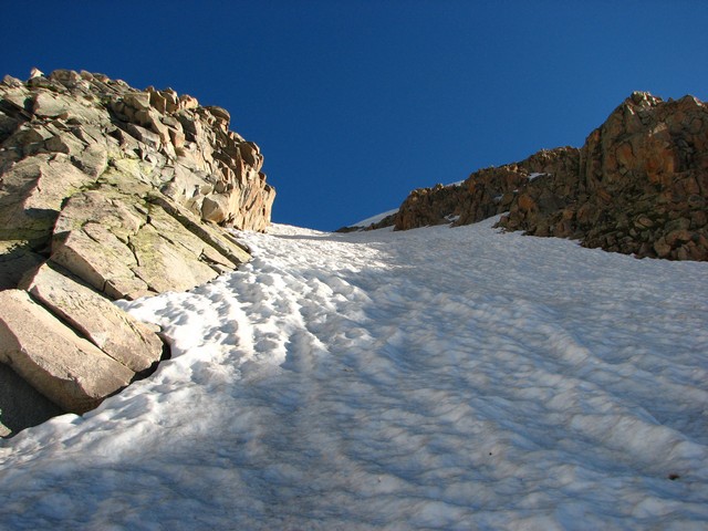
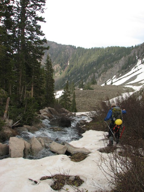
The next morning we got up and started up towards Heckert Pass.
There is some confusion about Heckert Pass as the map labels a spot farther to the Northeast as the pass. I can clear that up right now. The lowest point on the ridge is the pass.
Jason reaching Heckert Pass...
... and Jason descending the other side.
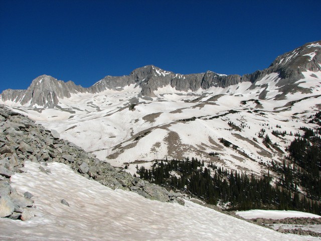
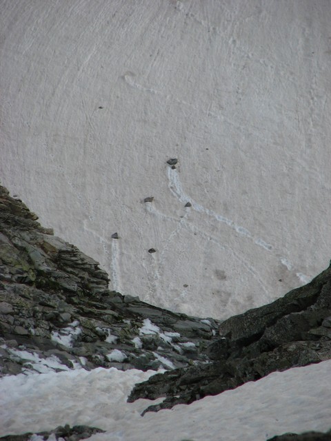
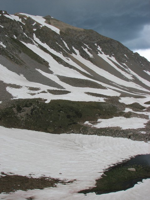
We chose to contour along the snowpath on the side of the valley, but in the end realized it would have been better to just descend and then ascend slightly to exit left at the end of the valley.
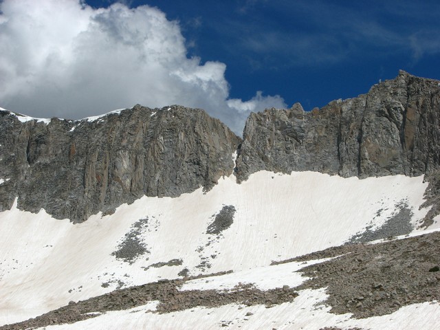
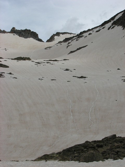
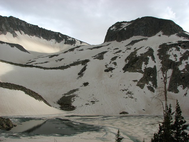
A look back at Heckert Pass.
Compare that to the area the map labels as Heckert Pass. (Just right of center in this photo.)
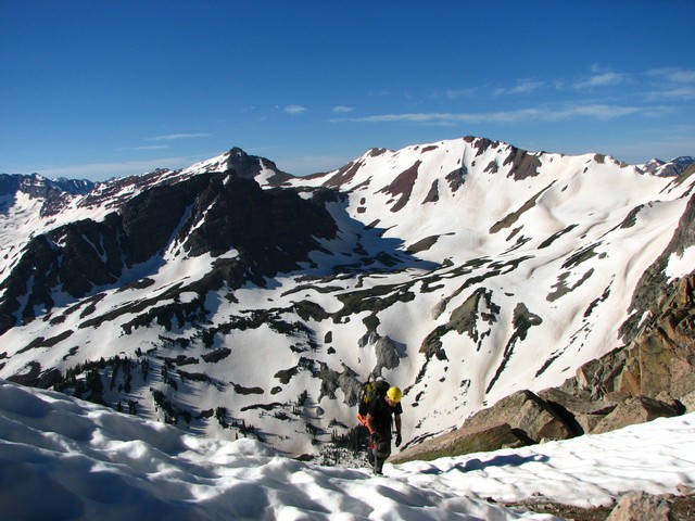
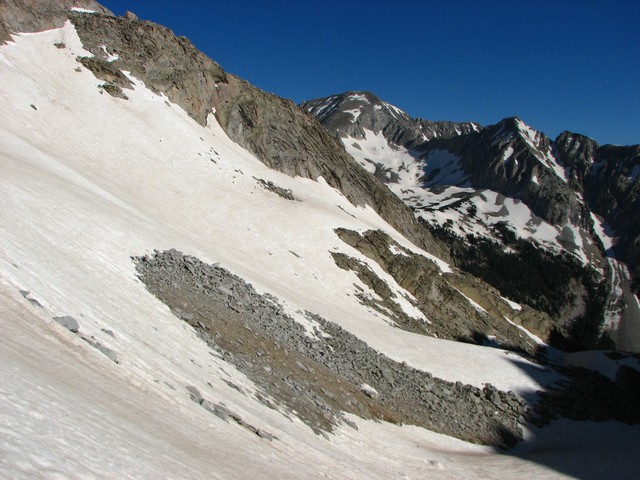
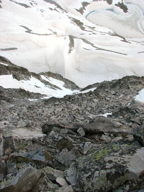
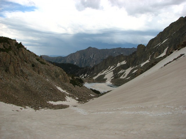
Once around the small ridge on the left the view of the entire route through Pierre Lakes lays out before you. It wasn't too bad to cross with all the snow, but when melted out I'm sure this would be a boulder hopping nightmare.
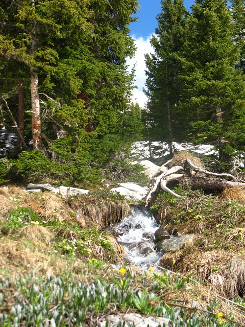
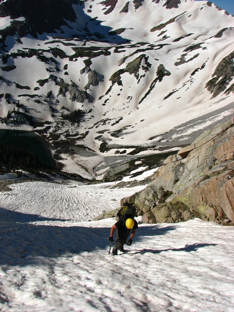
We briefly crossed through some trees and grassy area at the lowest point in crossing the basin.
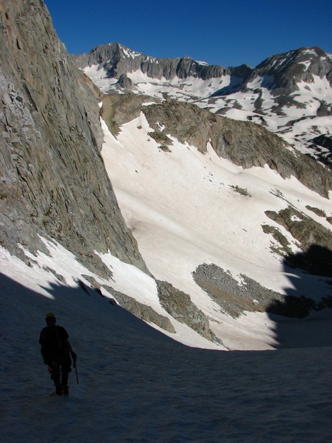
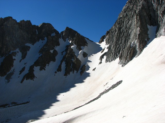
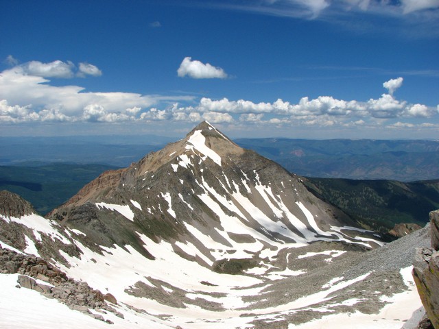
The destination is this deep notch located above the upper most lake and to the right of K2. This is the Wandering Dutchmen Couloir.
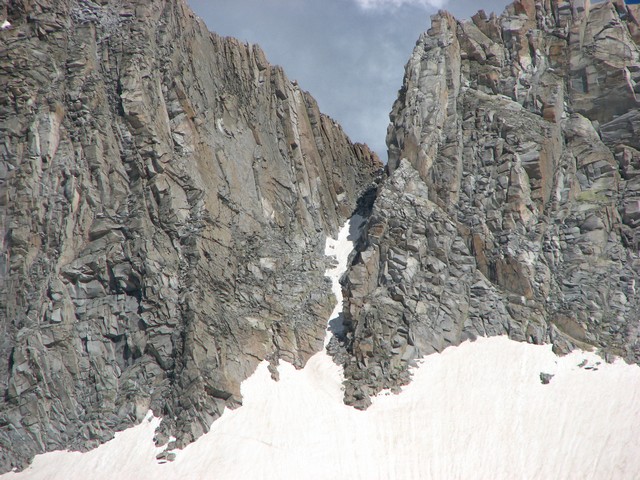
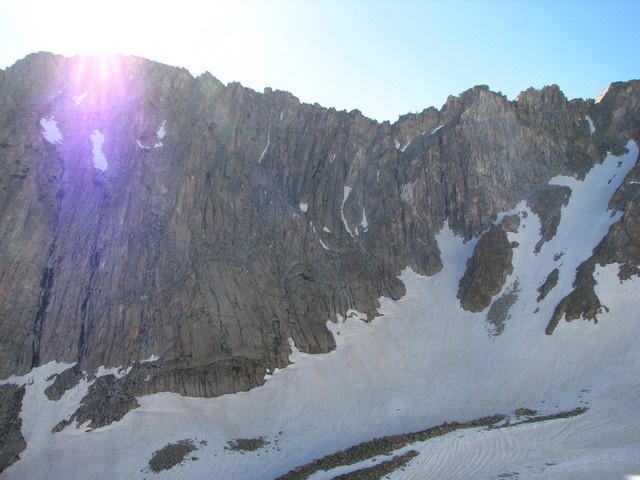
The approach is more difficult than the couloir itself. In summer I'm sure the approach is even worse as it appears like it would just be a pile of scree. Getting through the couloir itself was some pretty easy class 3 scrambling. We mostly climbed the rock and avoided the snow as it was either very icy or loose junk.
Jason working his way up the Couloir.
The couloir ends abruptly with a great view of Mount Daly.
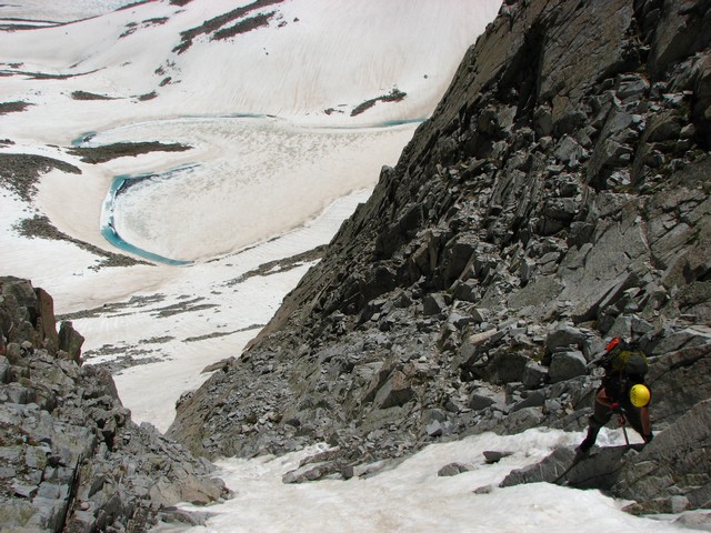
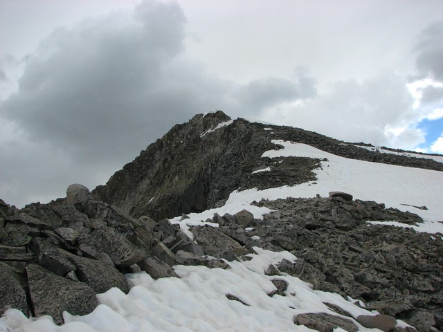
We stashed gear at the top of the couloir and headed up towards Capitol from there. K2 had snow on either side so our best route was to go straight up and over. This proved to be more of a route finding challenge than we expected and wasted 15 minutes trying to find a route down to the saddle from the top. After that though we were quickly to the knife edge.
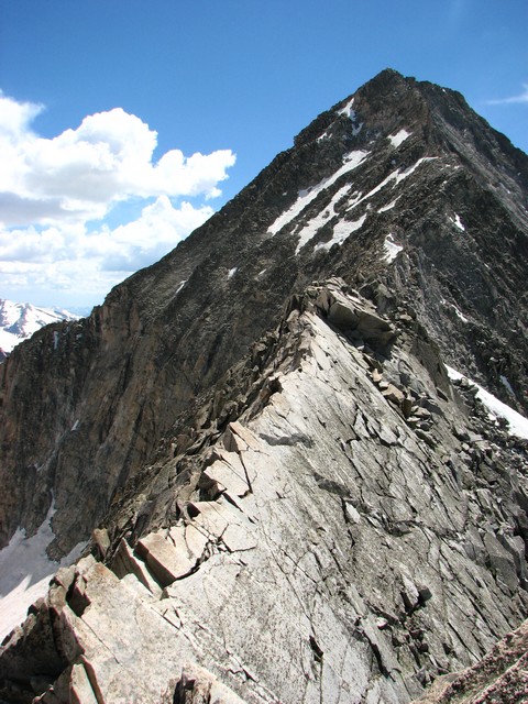
The knife edge is not difficult at all, but it is a head game. Huge drop offs on either side. (Click photo for larger version)
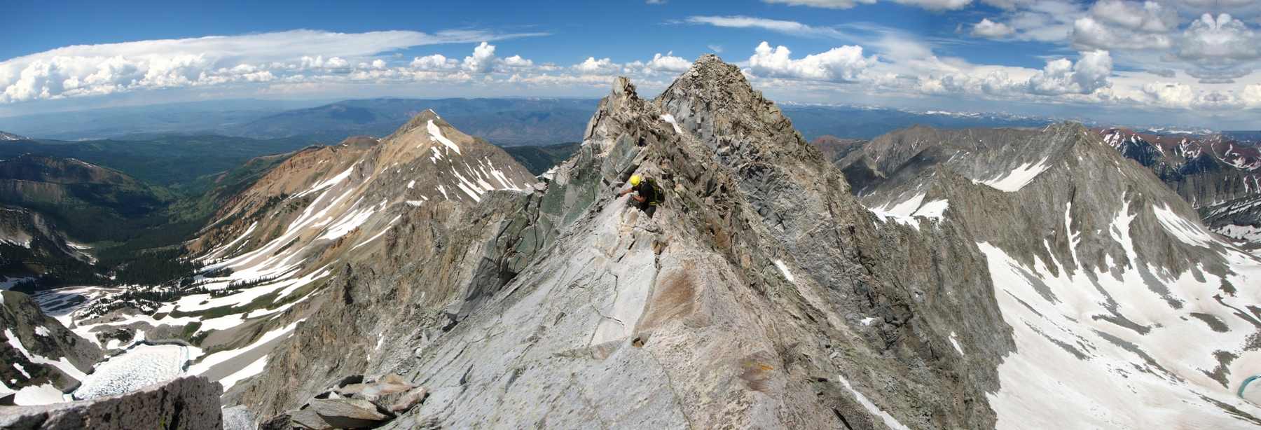
As we continued up Capitol we avoided the snowfields by sticking the the ridgeline. This didn't seem to increase the difficulty much, but it did put us on a second knife edge. This one is only about 25 feet long, but has overhanging exposure on one side. There were pretty much no foot holds on either side so sit and scoot was the name of the game.
At one point we did have to cross the face though. It was here that Jason stepped on a very large boulder that slid out from underneath him. (The "Volkswagen" as he called it.)
This is a zoom in the center of the photo above showing the "Volkswagen" and other rocks that ended up in the valley below.
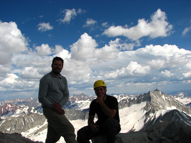
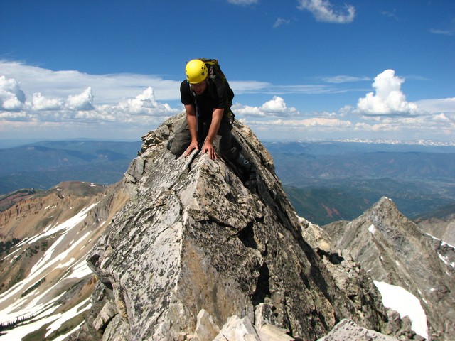
The rest of the trip to the summit was uneventful scrambling. Unfortunately the weather started to turn so we didn't stay long.

I did get enough time to do a summit pano though. Click photo for larger version.
Shortly after getting off of K2 (the trip back across was a little faster) we heard some thunder from the cloud above. It had only taken us 45 minutes to get from the summit back down to K2, and that was all the time we had.
After picking up our gear from the top of the Wandering Dutchmen Couloir (the notch in the top of the photo above), we did another series of long glissades down toward Moon Lake.
The clouds began to get more ominous and we heard more thunder, but by this point we really didn't care. We were well below the ridges and almost to the trees. The weather had lasted just long enough for us.
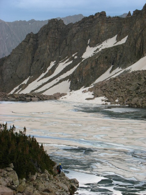
It wasn't long before we came over a rise and saw the beautiful moon lake.
Unfortunately there is no trail around the lake. Jason tried to just follow the shoreline, but got turned back. We had to stay to the North of the lake a little bit and do a lot of boulder hopping.
The south side would have involved more steep slopes that drop straight into the water. No thanks.
Once below Moon lake it's best to cross over to the right side of the creek and follow it down.
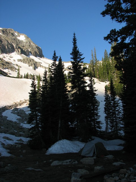
Not far below Moon Lake along the stream is a great campsite with existing fire ring and log benches. This was a far cry better than our tiny and very sloped campsite from the previous night. We got a great nights sleep here knowing we only had 5 miles to hike out the next day and only one more big challenge to face. Crossing Snowmass Creek.
On to: Day 3
or visit Day 1 or the Main SnowCap pageYou are welcome to contact me with any questions regarding questions about, or problems with, this website. Just send me an e-mail at josh_friesema@hotmail.com.