Wetterhorn Peak
 |
 |
 |
 |
 |
 |
 |
 |
 |
 |
 |
 |
 |
Wetterhorn was a great mountain for me. During the prior year my son had been born and I'd only been able to get up 2 Fourteeners so I really had the itch to get another one in. Also the weekend prior to this hike I had participated in a Search and Rescue effort on Humboldt Peak that ended tragically (read about it here) and so I really needed to go have a positive experience in the mountains again to help reconcile the loss.
I hiked with my brother Jason, friend Chad Board, and new friend/co-worker Aaron Sudduth. We left Friday evening, drove 5+ hours to the trailhead, and began our hike at 2:45 am. We started that early so that we could get up and back down off the mountain before the warm afternoon made the snowpack unstable.
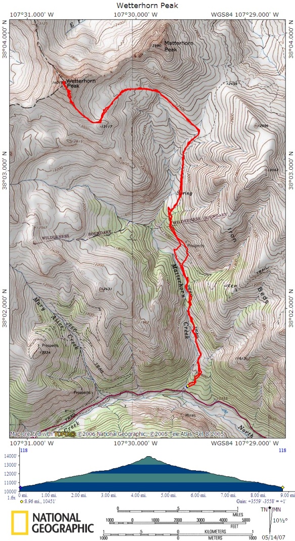
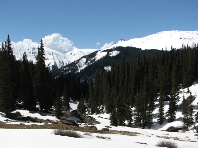
We were able to drive ony about 500 feet up the final 4wd road before we came to a large drift that blocked us. (photo taken later that day) We had expected this though. The temperatures were fairly warm that night. They only got down to the upper 30's so postholing quickly became an issue. We barely made it past the upper trailhead before we had to don the snowshoes. This did not please me, I prefer to wear snowshoes as little as possible on a hike.
The trail was a little difficult to follow in the dark as prior tracks were melted off or drifted over. Near this point in the picture (photo taken later that day) we missed the switchbacks and got off track briefly. It didn't take us too long to realize our error and correct it. We had no moon to give us light, but amazingly the starts cast enough light that we were able to navigate fairly well. When we reached the point that the summer route crosses two gullies we had to make a detour. To have crossed the gullies would have taken us across terrain that posed avalanche risk, we went higher then traversed below Matterhorn Peak to reach the shelf that leads up to the Wetterhorn ridge.
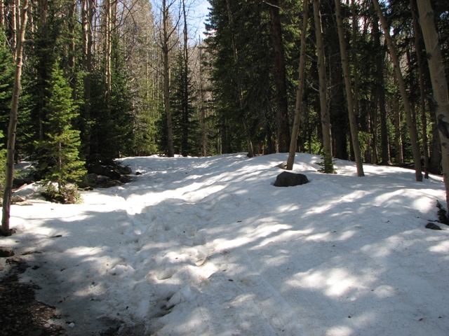
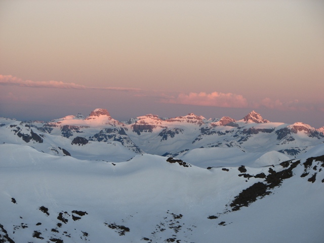
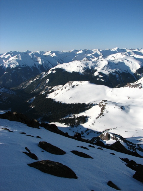
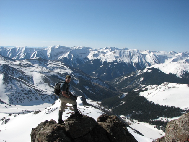
As we approached the Wetterhorn ridge the sky began to get light enough for me to start taking some pictures. As you can see the South face of Wetterhorn was covered in avalanche tracks.
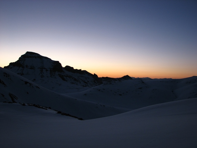
The Eastern sky grew light quite quickly as the sun began to rise behind Uncompahgre.
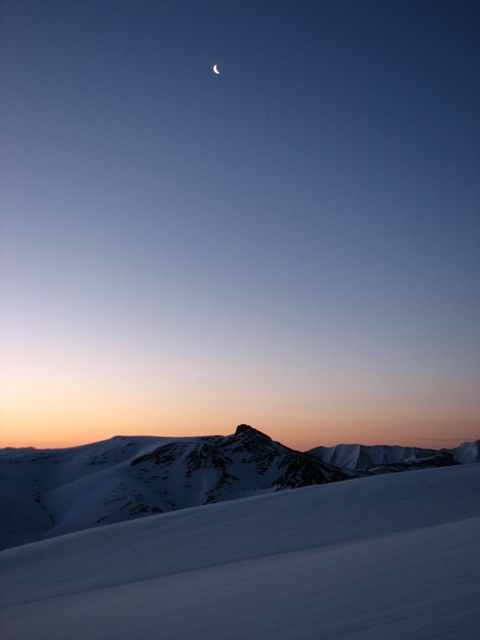
Not long before sunrise the tiny crescent moon had risen. It sure wasn't much of a moon, but with all the snow to reflect light it made quite a bit of difference to our visibility.

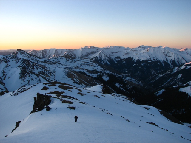
We realized that Uncompahgre was going to keep us in its shadow for a while, which made for a fantastic sunrise.
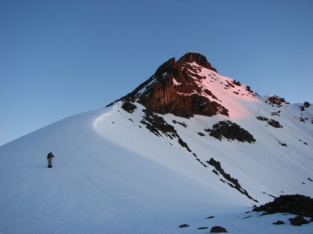
We were around 13,200 when the sun first begain to hit the summit of Wetterhorn. The winds picked up a little as the sun rose (as they tend to do) so we were anxious to get to the point the sun would be on us and warm us.
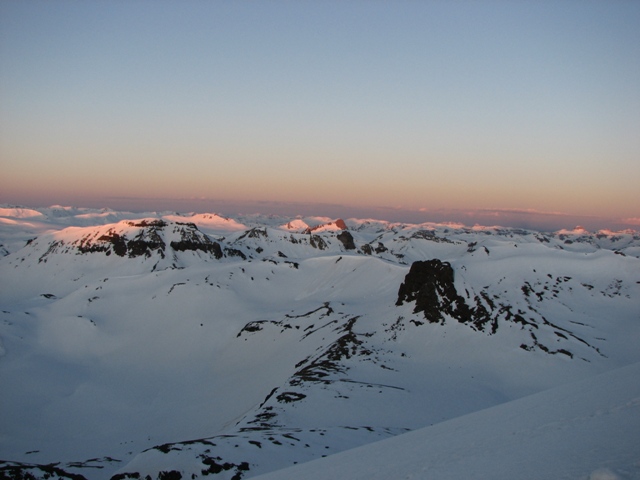
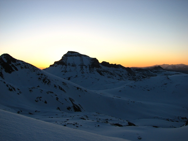
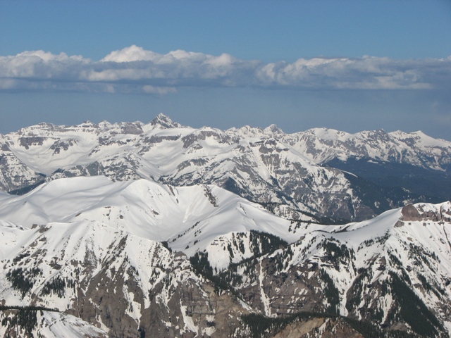
The Alpenglow began to spread to the San Juans around us.
In the distance to the West we could clearly see Sneffels.
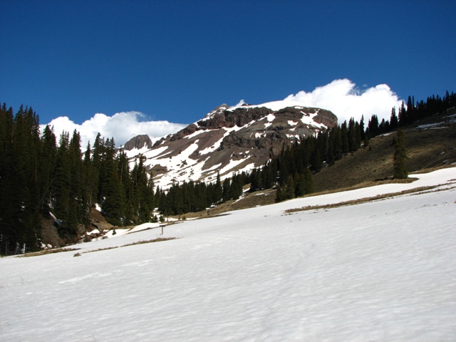
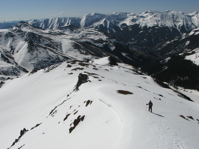
The ridge was holding some decent cornices still, but they were very easily avoided.
Even after the sun rose, Uncompahgre kept us in the shadows. It wasn't until we reached the real rocky section around 13,500 that we finally got into the sunlight. At this point Aaron decided the altitude had gotten to him enough that he needed to stop. This was his first Fourteener and he showed great heart, but also a clear head to make a good decision of when he'd reached his limit. I look forward to hiking with him again.
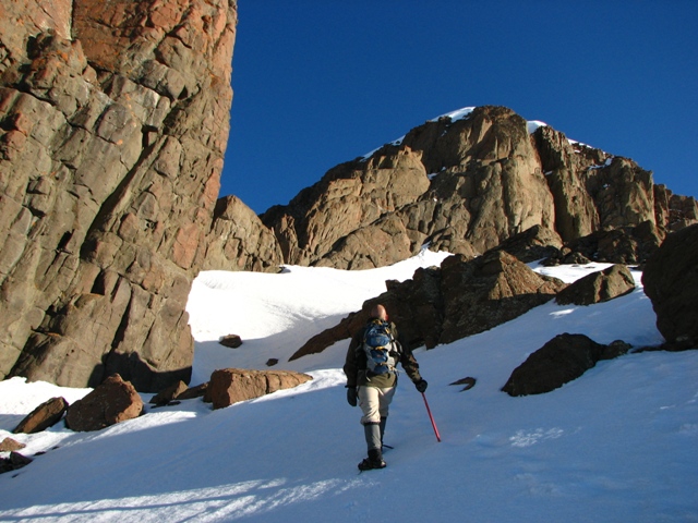
Jason, Chad, and I continued through the sketchy couloirs that lead up to the prow. In retrospect it would have been safer to have stayed on the ridge proper, which we did on the descent. At this point it looked like the final gulley was going to be snow free which is what we'd hoped for.
Looking South from near the prow you can see Sunshine and Redcloud on the left of this photo, and Handies on the right.

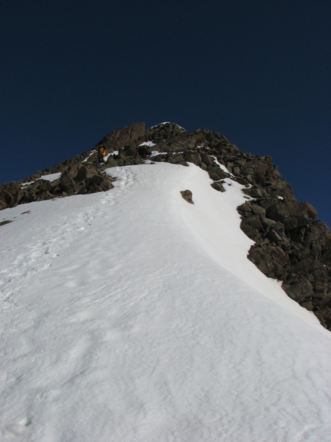
The notch was really easy to find since all tracks, except one, led right into it.
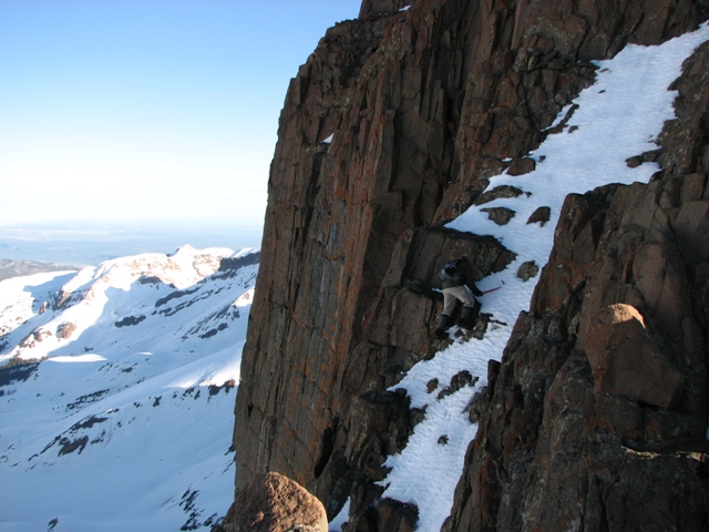
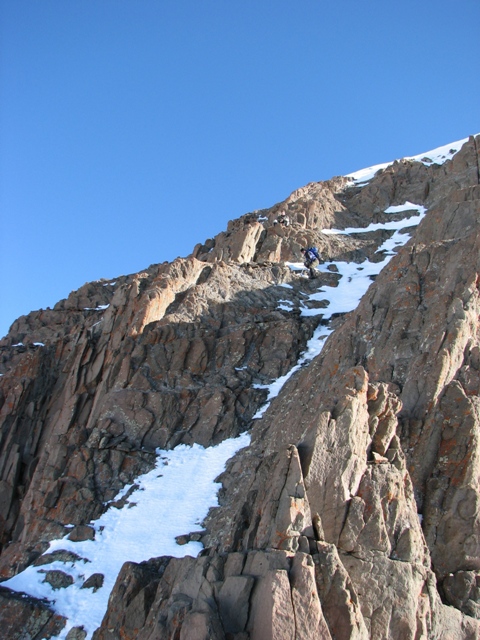
Once in the notch we realized we were going to have to do some mixed climbing to make the summit instead of having a dry gulley. This had to have dramatically increased the difficulty of the couloir. We did not find a class 3 route that was not covered in ice, so we had to do some class 4 and possibly a little low class 5 stuff to get to the summit.
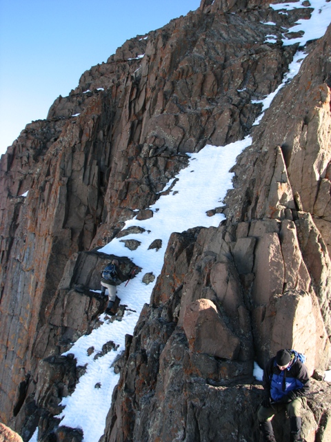
The couloir took a while since we decided it should just be one at a time through there. There was a great rock to sit on and watch the others climb.
While waiting I noticed the shadow of Wetterhorn to the West.
I also took a photo of the Sneffels range.
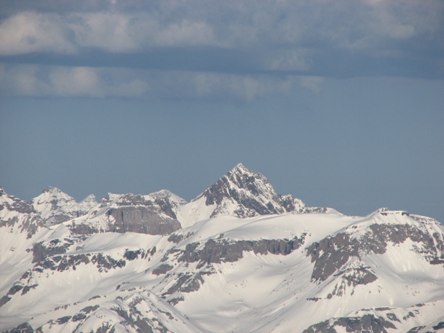
A close up of Sneffels.
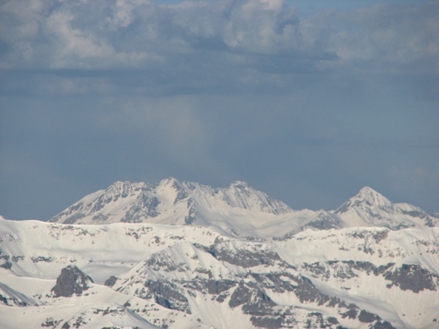
The Wilson group.
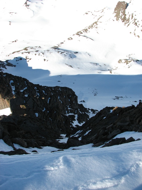
From the top I took a photo looking down the couloir, unfortunately the lighting didn't make for a very good photo.
We reached the summit at around 7:30. It had taken us a lot longer than I expected, but the last 800 feet alone took over an hour and the rest of the time we had snowshoes on so I guess it wasn't terrible.
The most difficult part of course was the descent of the couloir. It was slow and one at a time again, but everything went very well.
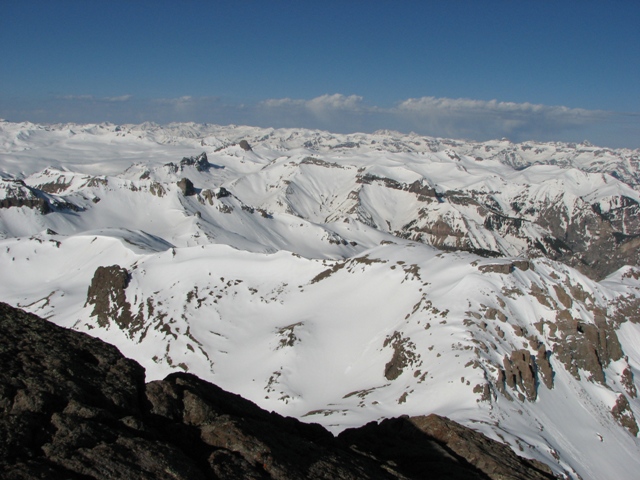
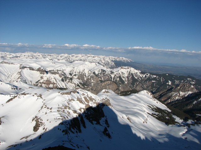
Now the sun was fully up and the San Juans looked spectacular.
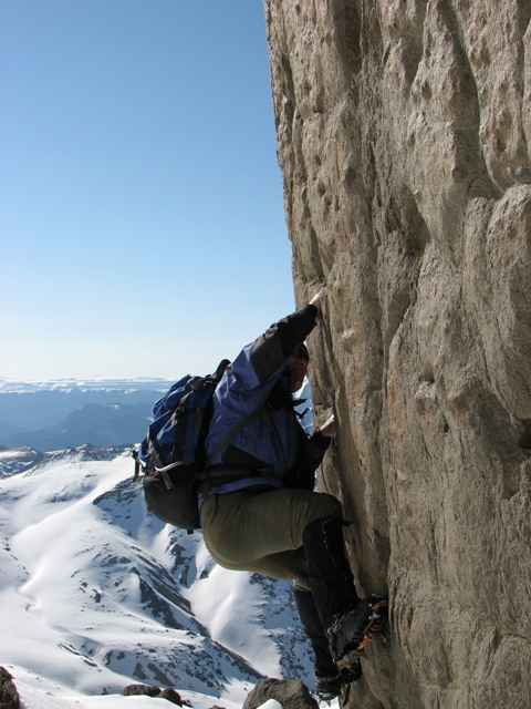
Chad did a little free-soloing on the prow before we headed down.
As stated earlier we made a better decision on the way down and stayed on the ridge proper as much as possible.
Once past the prow we made good time back down to Aaron who was feeling better and in good spirits.
Then it was time to put the snowshoes back on and get off the mountain before the stability of the snow got too weak.
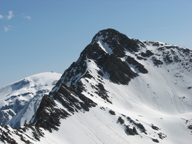
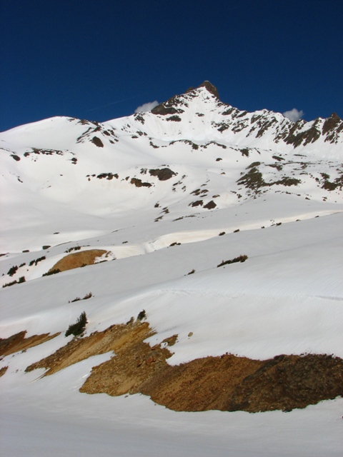
Matterhorn Peak is very close to this route, and in better conditions we may have included it as part of this hike.
Uncompahgre can also be done from this trailhead, but makes this quite a long trip for snowshoeing.
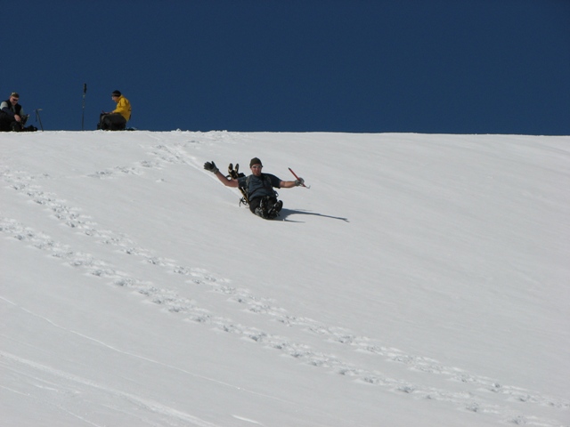
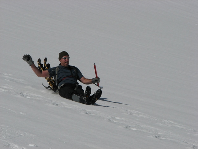
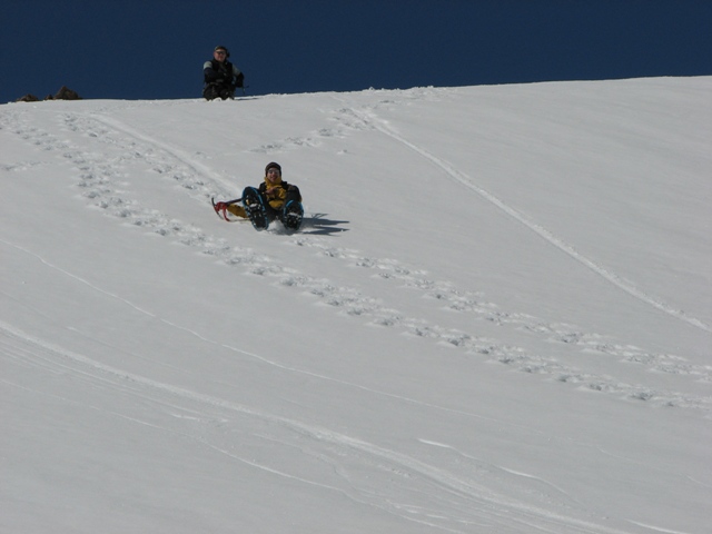
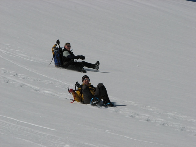
We did do a small glissade off the Wetterhorn ridge, but had chosen very carefully to avoid avy danger so it was pretty short and tame.
Then it was a lot of hiking through blinding terrain. I brought some very dark polarized sunglasses, but really should have had glacier glasses.
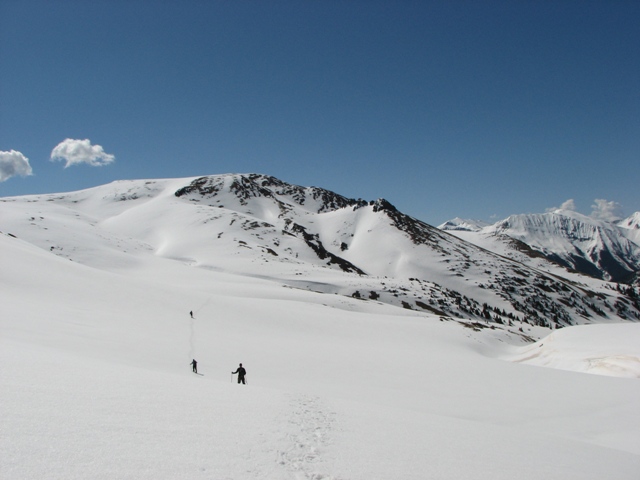
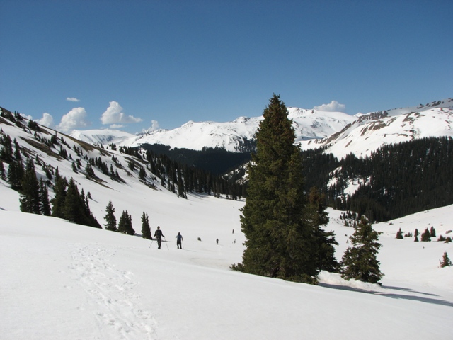
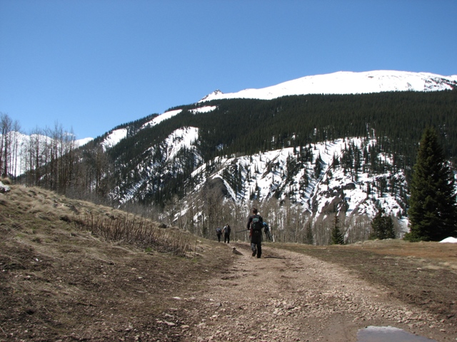
I think this photo was taken from near the spot the trail splits for Wetterhorn and Uncompahgre.
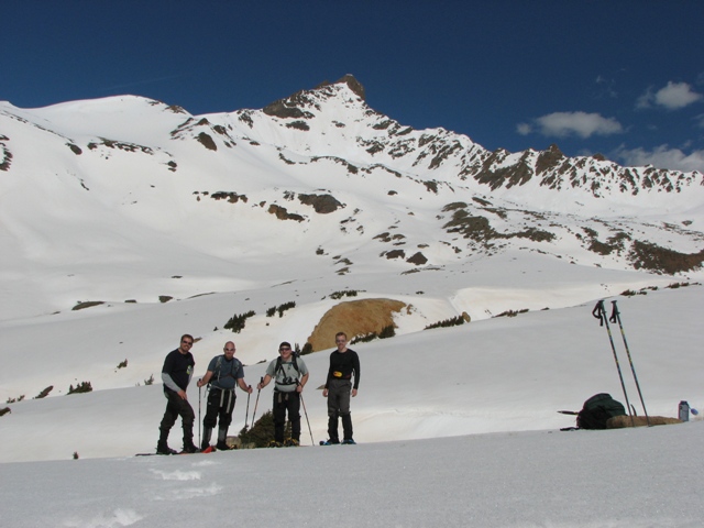
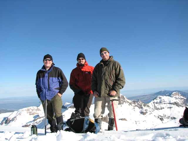
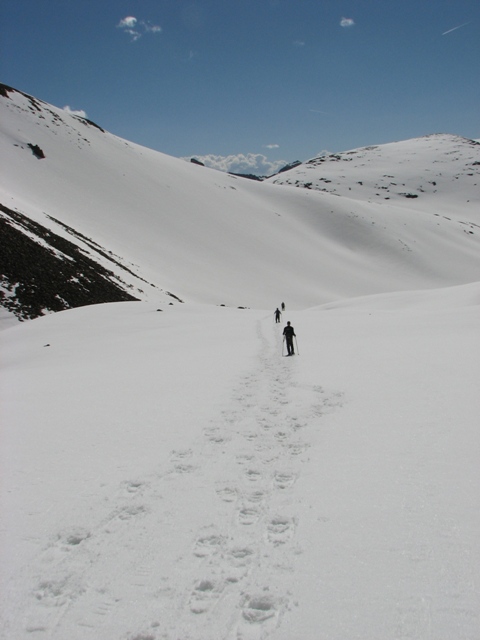
We had been hiking with 50 to 100 yard spacing up to this point just as a precaution for avalanche, but we now regrouped for a photo since we were beyond any such slopes. This is also the spot where my brother got out his Red-Bull and accidentally knocked it over and watched it slide away from him. If anyone finds it please contact me to make arrangements to return it to him. He's quite upset about the loss.
On the way out as we neared treeline we passed a couple of guys that were heading for the summit. I sure hope the snow stability held for them.
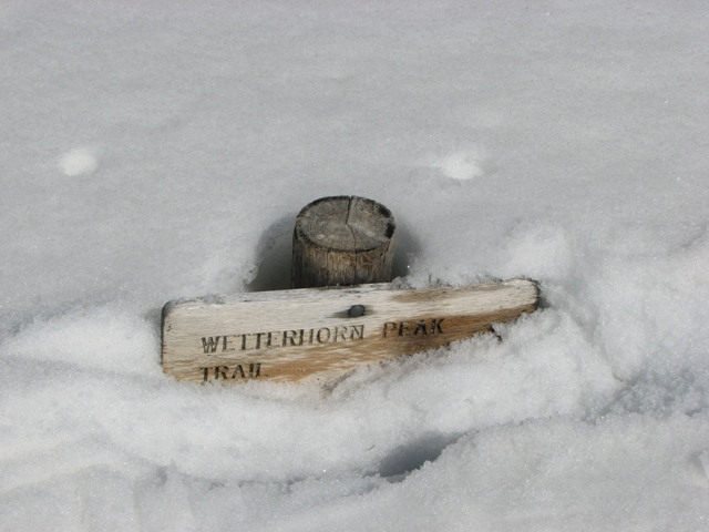
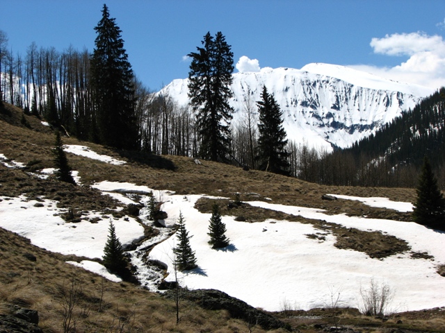
We also found a trail sign that I dug out so I could read what it said. I'm curious how long it will take for all this snow to melt. Snotel estimates it will be nearly all gone in 3 weeks.
It felt good to look back on a successful hike that day, and hope it's just the start of several good ones this year.
The weather had been perfect on the trip, and by the time we were back in the trees temperatures were well into the 60s.
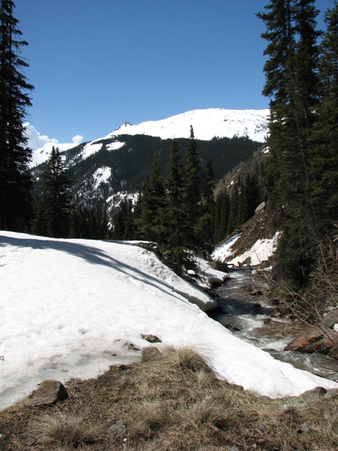
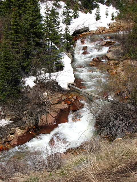
With all that snow and the warm temperatures, all the creeks were running strong.
Once past the upper parking lot most of the road is clear. I can't imagine that the drift that stopped us will be around more than a couple weeks. After that the upper trailhead should be open.
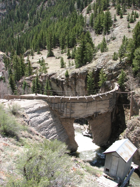
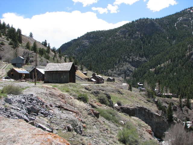
On our way out we stopped to check out the old dam and mine along the road. Pretty neat ruins.
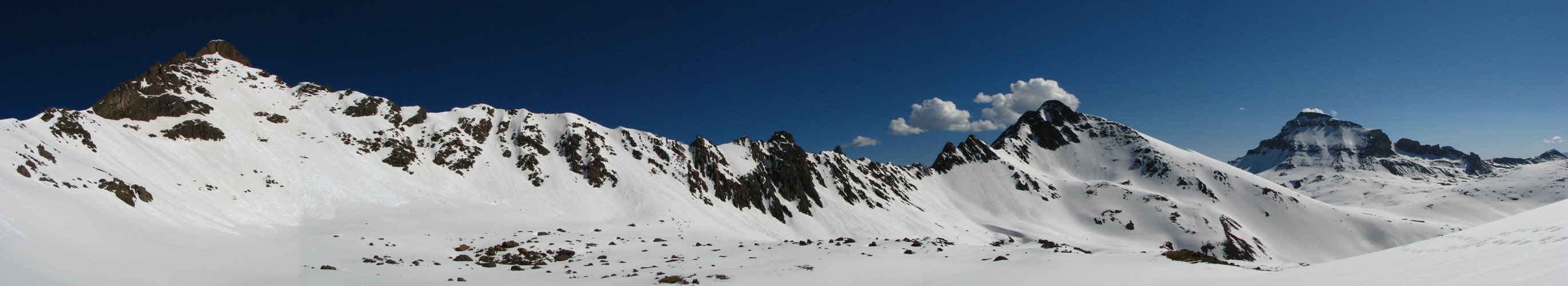
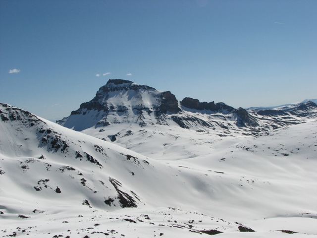
This is a panorama of Wetterhorn, Matterhorn, and Uncompahgre. click the photo to see a larger version.
You are welcome to contact me with any questions regarding questions about, or problems with, this website. Just send me an e-mail at josh_friesema@hotmail.com.