Wilson Peak
 |
 |
 |
 |
 |
 |
 |
 |
 |
 |
 |
 |
 |
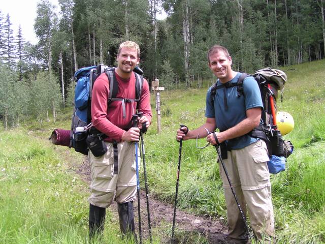
My brother and I did this hike begining August 11th of 2006. We started from the Navajo Creek trailhead, with the hopes of climbing Wilson Peak, Gladstone Peak, Mount Wilson, and El Diente. The weather did not work out too well for us though. We came away with only Wilson Peak, and falling just 150 feet short of Mount Wilson.
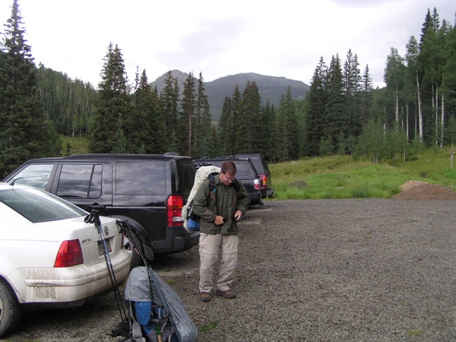
From the very start of this hike it was raining. We were fairly well prepared for rain, but it still made the trip difficult.
Below is a Map and profile of the route we hiked. This information was gathered using a Garmin GPS unit and National Geographic's TOPO! program to clean it up and plot it on the map.
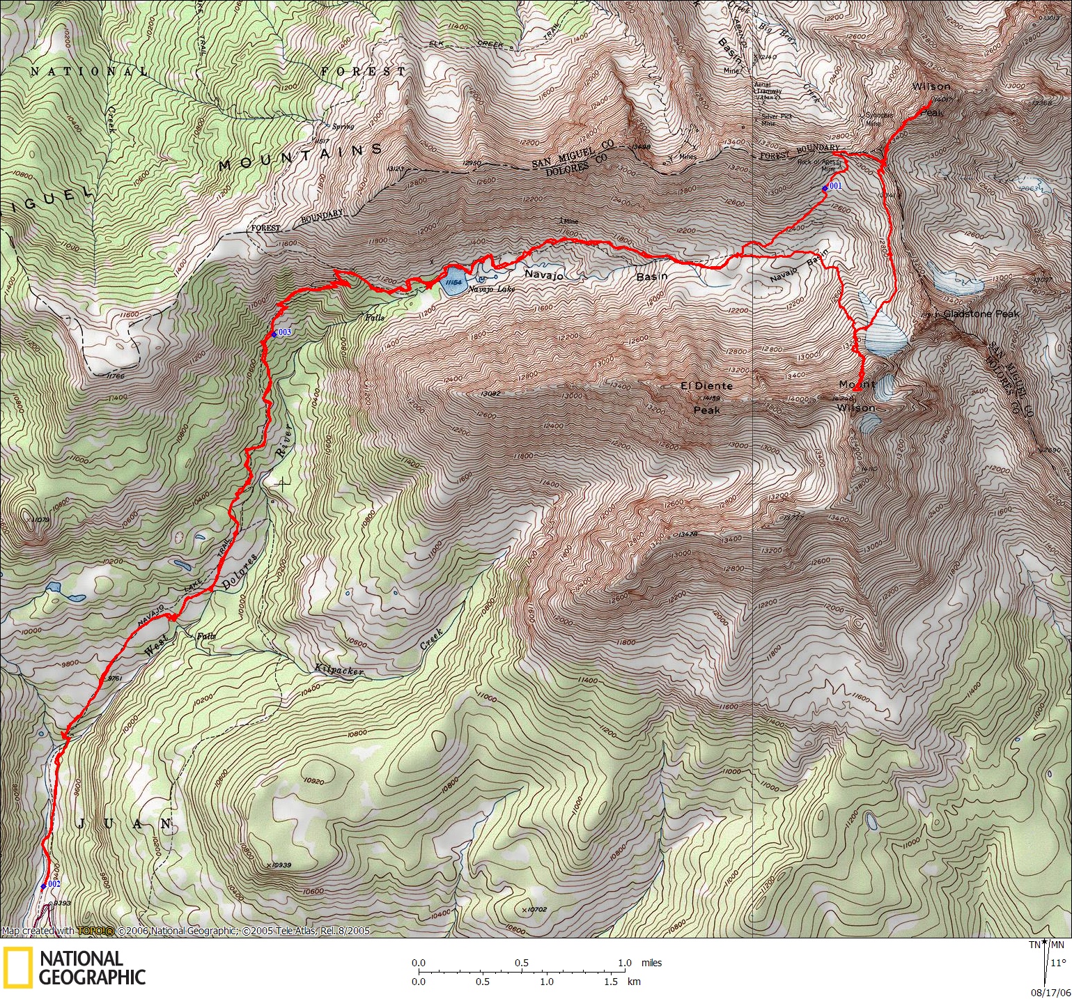
Click the photo to get an enlarged version of the map.
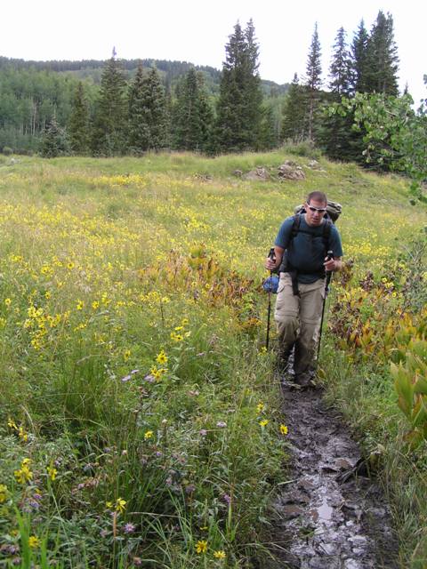
Due to the rain, the trail was very muddy and slippery. The mud stuck securely to our boots making each foot weight a couple of pound extra. The wet grass soaked our legs. It was a bit of a rough start.
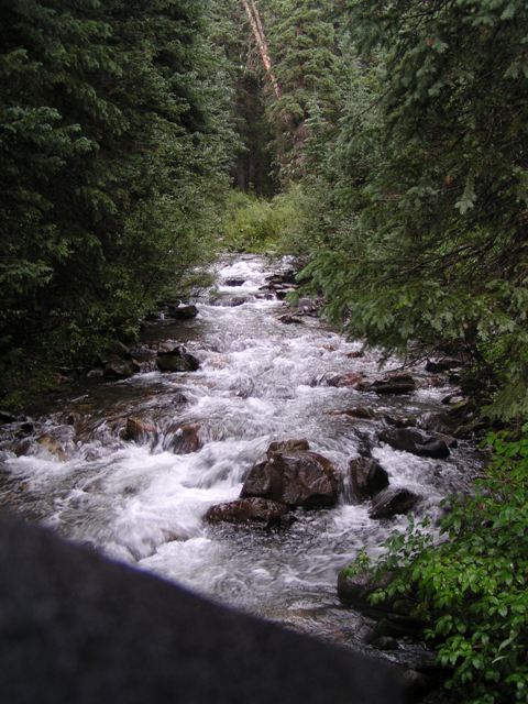
Shortly into the hike there is a nice bridge and stream to cross. One trade off of dealing with all the rain was that the creeks were flowing strong.
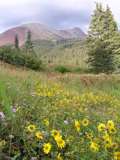
Another trade off is that the wildflowers were fantastic, even though this late in the year they are normally finished blooming.
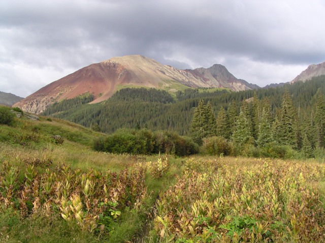
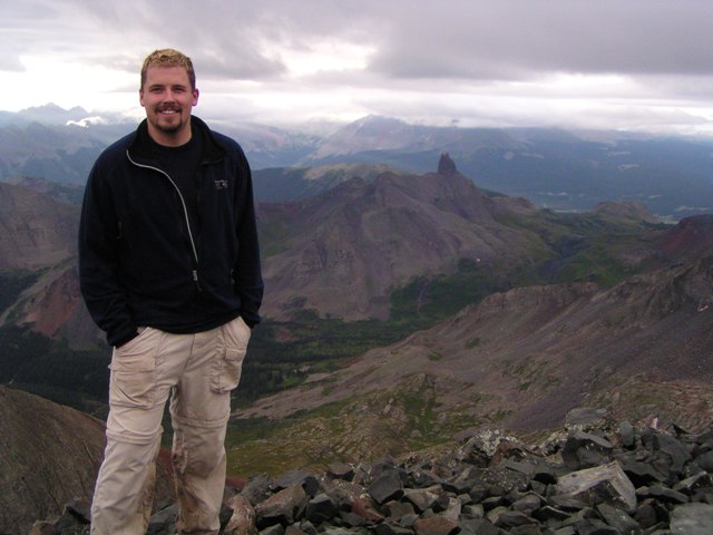
The mountain that first comes into view is El Diente. Though not an official Fourteener by the 300 feet of prominence rule, the classic difficulty of attaining this summit still draws many hikers.
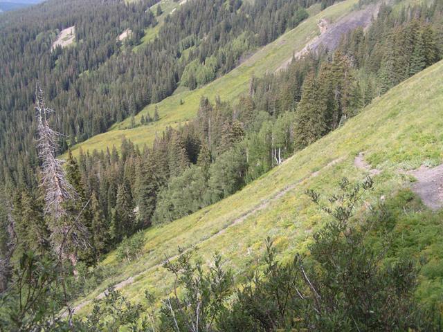
The trail to Navajo Lake is gently sloped until you reach the headwall, then it ascends a few switchbacks before dropping back down to the lake.
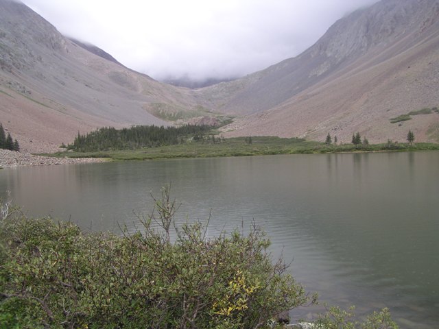
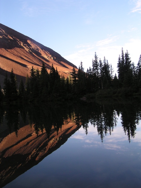
Navajo Lake is the classic location for a base camp in the Navajo Basin. There are several areas farther up the basin that are suitable for camping as well and provide better access to the peaks, but Navajo Lake is by far the most asthetically pleasing location.
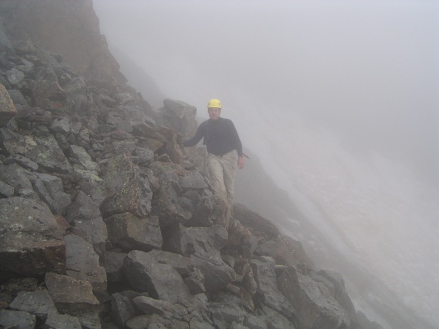
We did most of Wilson Peak during the night. We left camp at 3 to try to beat the weather. This was taken later in the day, but it shows part of the route. The trail in the photo goes to Rock of Ages saddle. This saddle is on private land and is currently closed by a greedy land owner trying to force the Forest Service into an unfair trade. But I digress. Anyway, you can just skip the saddle by traversing to the right earlier.
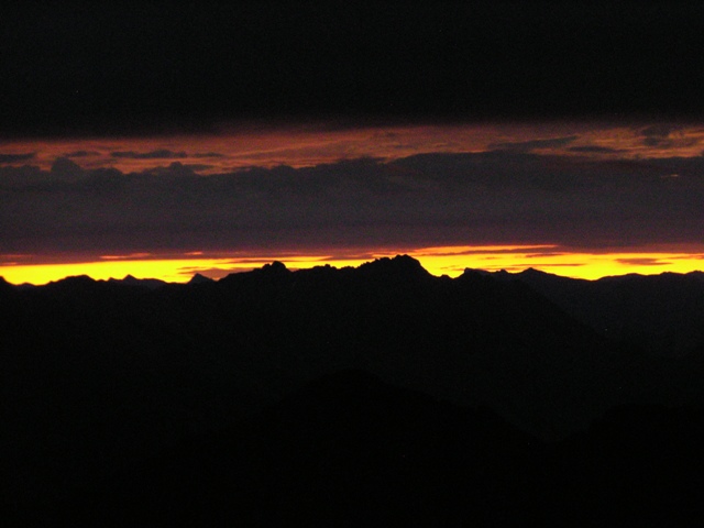
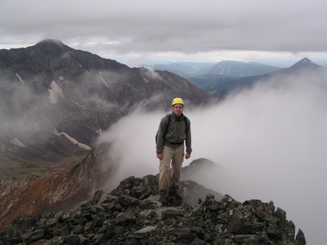
As we reached the saddle between Wilson Peak and Gladstone the horizon was just beginning to show signs of sunrise. This photo has many San Juan peaks in silhouette.
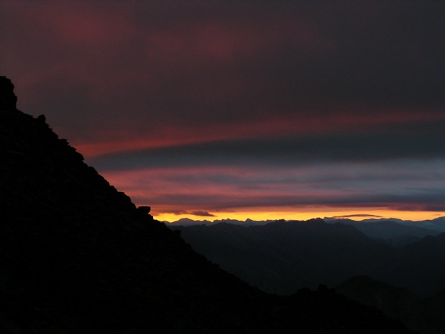
We were just short of the false summit of Wilson Peak when I took this photo. It was nice to have the sun coming up just as we were climbing the summit pitch.
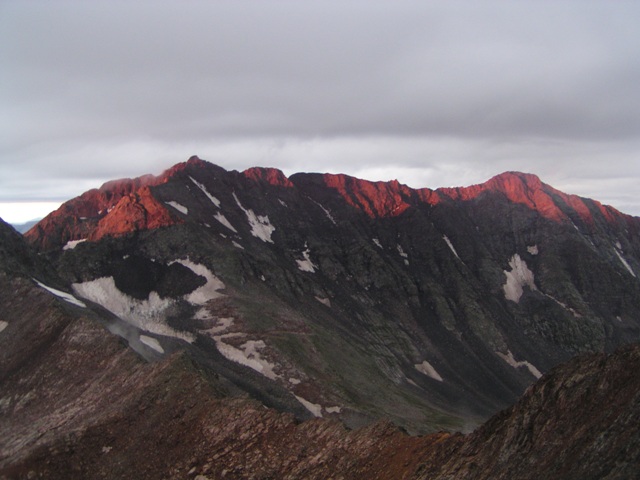
The alpenglow on Mount Wilson and El Diente was fantastic, of course the picture doesn't do it any justice.
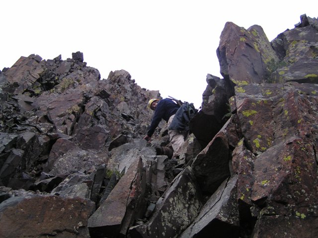
The last 150 feet to the summit is a fun climb. We chose a solid gully that took a couple of class 4 moves, over the standard class 3 gully that has a lot of loose rock in it.
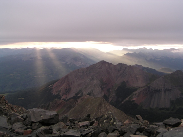
We summited just moments after the sun came up and had a fantastic view. As you can see the sky was already completely overcast.
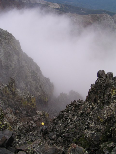
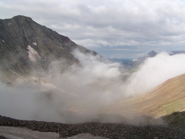
While sitting on the summit, we were amazed by how fast clouds were forming in the valley below us. Our view of Mount Wilson and El Diente was quickly blocked. The clouds then seemed to disappear as fast as they appeared.
Mount Wilson stands well above the surrounding area, providing fantastic views. Lizard head is visible on the right side of this shot.
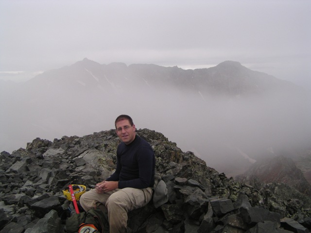
We didn't stay on the summit too long as we could see the weather was going to cause problems for us if we didn't get going.
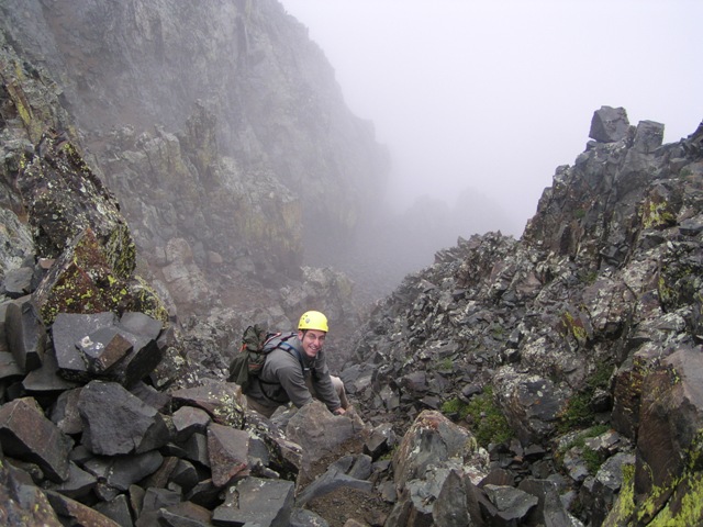
The descent down the crux section was wet, but still went fairly easily.
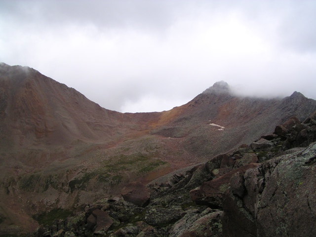
When we reached the Gladstone saddle we changed our plans a bit. Realizing we were short on time we cut Gladstone out of the plans and decided to go straight for Mount Wilson.
Mount Wilson still looked doable at this point and so our hopes were high.
Then the clouds really started rolling in.
We had a rocky traverse over to Mount Wilson, and we crossed the Navajo Glacier (partly buried in rocks). While crossing the glacier we were amazed at the amount of water running off of it, and also by the three loud popping noises it made while we crossed.
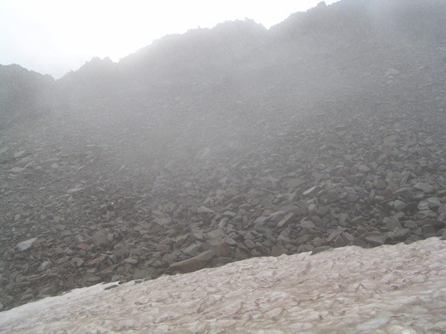
Unfortunately as we ascended Mount Wilson it became engulfed in clouds which as we neared the summit became an ice storm. Upon reaching the infamous "notch" we decided the last section was to dangerous to do with everything covered in ice. So we grudgingly retreated.
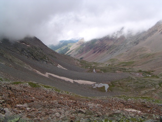
Just as we dropped below 13,000 feet we broke out of the clouds and could see Navajo basin once again.
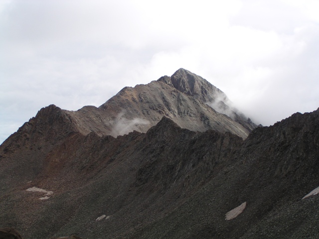
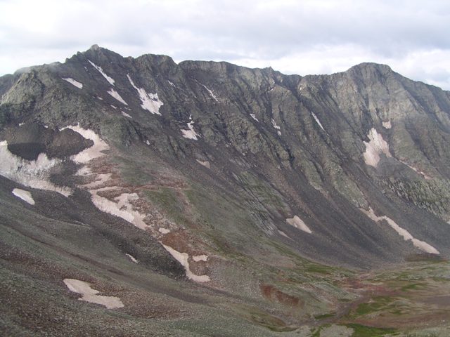
We also got a nice clear view of Wilson Peak
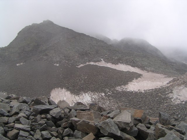
Looking back up the valley as we descended the clouds continued to shroud the mountains.
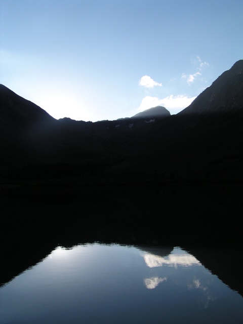
The next morning we were treated to a beautiful morning, unfortunately we were hiking out that day.
Navajo Lake was perfectly still and clear. It was amazing.
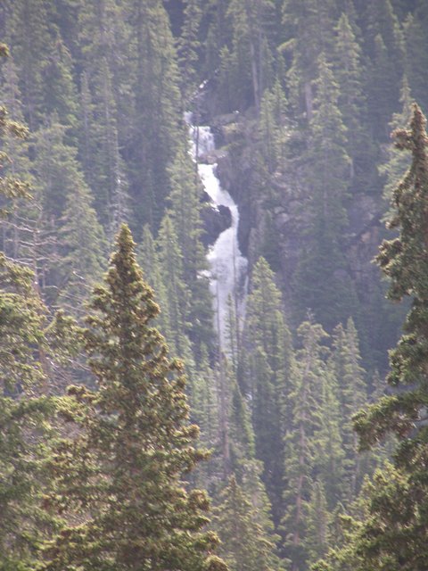
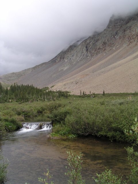
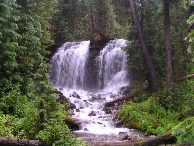
On our trip out I tried to photograph several of the waterfalls.
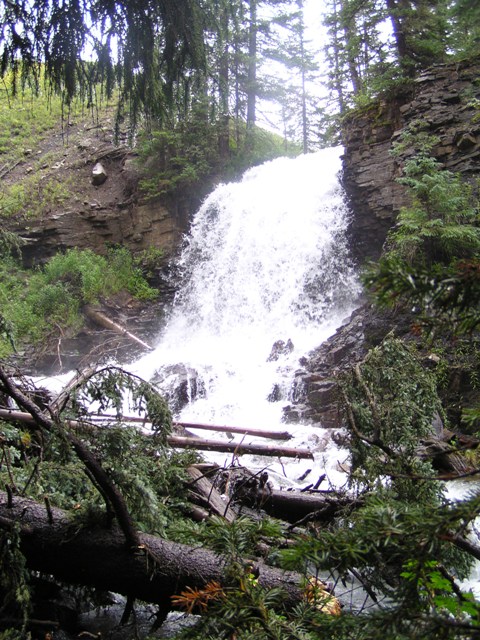
The best falls were just above where Navajo Creek and Kilpacker Creek converge. This is Navajo Creek in this shot.
This is Kilpacker Creek.
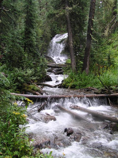
The Kilpacker ones are set back a bit and it looks like hardly anyone ever visits them.
It was a bit of a disappointing trip, but we had a good time anyway.
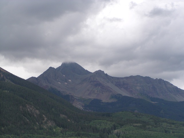
On the drive out we got one last look at the summit we did manage to attain that trip.
You are welcome to contact me with any questions regarding questions about, or problems with, this website. Just send me an e-mail at josh_friesema@hotmail.com.