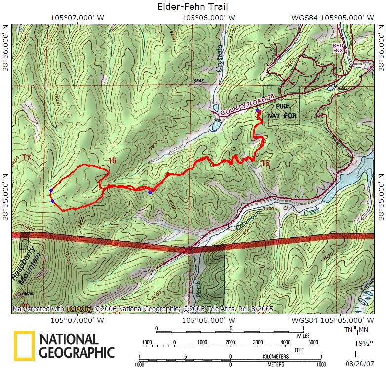
Elder-Fehn Trail
 |
 |
 |
 |
 |
 |
 |
 |
 |
 |
 |
 |
 |
Distance:
4.9 miles
Type:
Double Track/Single Track Balloon Loop
Vertical Gain:
940 ft
Difficulty:
Easy/Moderate
Topographical Map:
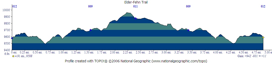
Elevation Profile:
Trailhead:
From the intersection of Highway 67 and Highway 24 in Woodland Park, head West on Highway 24 for 2.75 miles. Turn Left onto Edlow Road. Follow Edlow Road for 3.4 miles. The trailhead parking will be on the left just before a gate. If the parking lot is full you may park on the road, but be careful not to block the road or the gate to Catamount.
Summary:
The trail begins at the large sign on the South side of the trailhead. There are some relatively nice restrooms at the trailhead, but no water supply so bring your own. Follow the obvious trail as it works it's way South. Don't pass through the gate with the sign next to it. You will pass many signs instructing you to stay on the trail. After a while the trail will do a brief series of switchbacks down into a valley where there will be an intersection. Take the right trail that leads uphill again. Follow the trail along a ridge as it joins up with an old road. This area was once slated to become a subdivision and you may notice a few old lot markers around still. The trail is now heading West along a ridge. You will pass an intersection for the Vayhinger trail on the left, but continue straight West. The trail will go up a short steep slope just before the split for the balloon part of this balloon loop trail. This intersection was not well labeled when I hiked it, but improvements continue. I recommend taking a left at this intersection and doing the loop in a clockwise direction. Once on the loop try not to drift off onto any of the side trails. You will still be following an old road. After turning all the way around and heading East a trail sign will block the road and point you on the single track trail that will lead you back to the "balloon" intersection. Once back there simply follow the "string" part of the trail back the way you came.
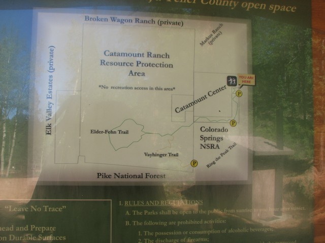
This is the map at the trailhead. The detail leaves a lot to be desired.
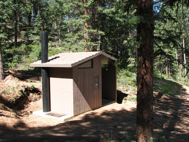
It's rare to find facilities at a trailhead.
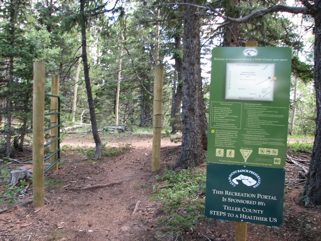
Don't pass through this gate in the beginning of the hike, instead head right on the obvious path.
One of the many, many annoying little signs reminding you to stay on the trail. Don't get me wrong, I think people need to stay on the trails, but were all these signs really worth the money?
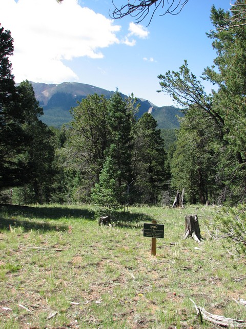
The valley that the trail briefly dips down into before the first trail intersection.
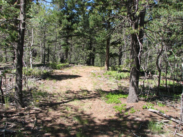
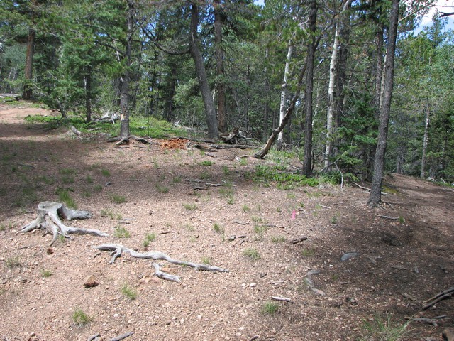
The trail doesn't see much use yet, so even the old road is growing over.
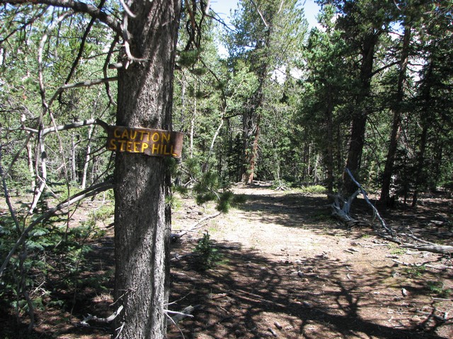
You'll see this sign on the "balloon" part of the loop. I think it is intended for cyclists.
This was the intersection where the "string tied the balloon" on the trail when I hiked it. You can see the left single track trail on the very right and the old road on the very left.
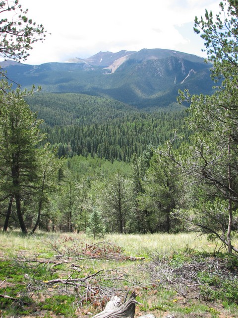
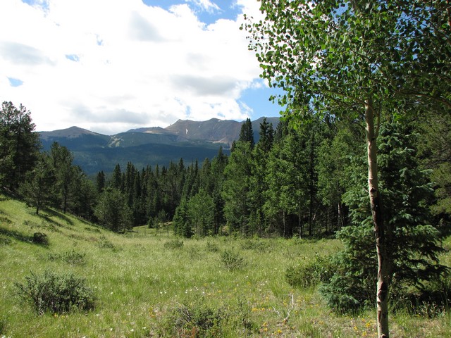
The views of Pikes Peak from the trail are unique, and give a sense of the size of Pike National Forest.
|
Distance: |
4.9 miles
|
|
Type: |
Double Track/Single Track Balloon Loop
|
|
Vertical Gain: |
940 ft
|
|
Difficulty: |
Easy/Moderate
|