Waldo Canyon Loop
 |
 |
 |
 |
 |
 |
 |
 |
 |
 |
 |
 |
 |
Distance:
6.75 miles
Type:
Single Track
Vertical Gain:
2000 ft
Difficulty:
Moderate
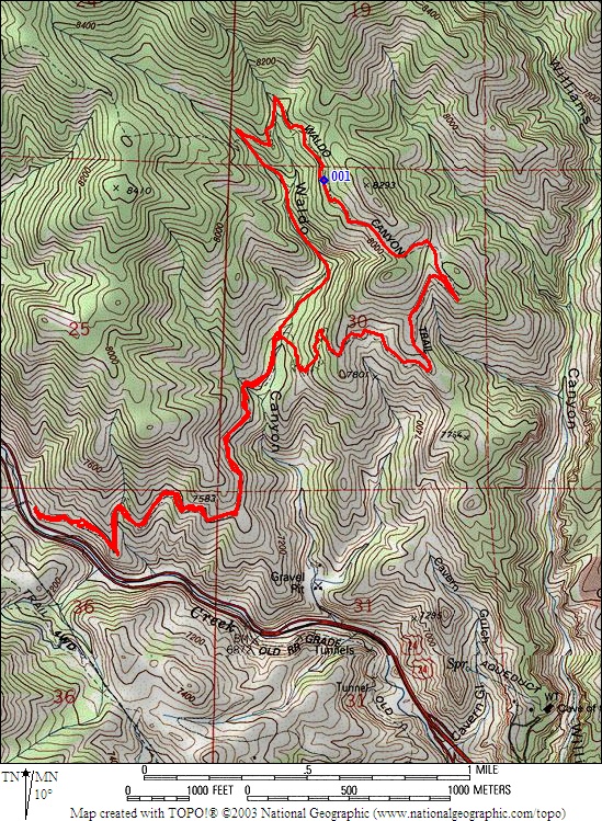
Topographical Map:
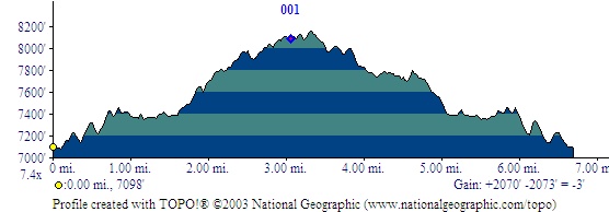
Elevation Profile:
Trailhead:
The trialhead is located along Highway 24 just west of Manitou Springs. From Colorado Springs simply head west on Highway 24 past manitou and then look for a large parking area on the right. The parking area is immediately after a sharp curve to the right, so you won't see the parking lot until you are next to it. It is a large parking lot, but on nice weekends finding a spot can be difficult.
Summary:
The trail begins at the East end of the parking lot. Follow the obvious path as it starts up some stairs. This trail is very well labeled to help keep you going the right direction. It is also heavily traveled so odds are you can just follow the people ahead of you. Once you reach the intersection where the loop begins, you must decide which direction you would like to do the loop. There are advantages to either. Clockwise does the elevation more gradually, while counter-clockwise gains elevation quickly and has an easy descent. While hiking this trail, don't forget to look around as you gain elevation. The views of Colorado Springs and Pikes Peak become quite beautiful as you near the high point of the trail. Also keep an eye out for cyclists and trail runners. Due to the popularity of the trail, some trail etiquette is necessary to help everyone enjoy their outing.
After the first few hundred yards, the trails turns away from the highway.
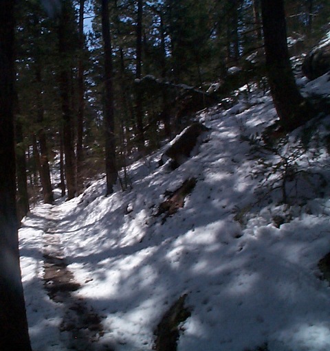
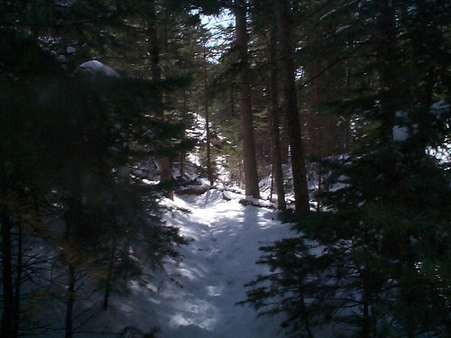
Even after a recent snow the trail shows the tracks of quite a few hikers.
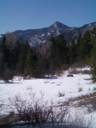
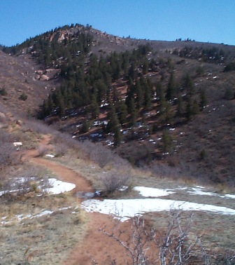
Upon reaching the first flat section you can look back over your shoulder and see Camerons cone come into view.
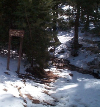
The sign at the trail intersection.
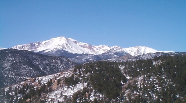
Pikes Peak slowly works its way into view.
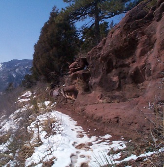
A cut through the rock showing the red sandstone that is common in this area.
As you get farther along the trail, the evidence of prior hikers diminishes. With the length and vertical gain of this trail, not all who set out to hike this trail will complete their goal.
|
Distance: |
6.75 miles
|
|
Type: |
Single Track
|
|
Vertical Gain: |
2000 ft
|
|
Difficulty: |
Moderate
|