Wind River Range, Wyoming
 |
 |
 |
 |
 |
 |
 |
 |
 |
 |
 |
 |
 |
July 7-10, 2007
This hike began initially as a trip to help map part of the Continental Divide Trail on the Idaho/Montana border. However due to some problems encountered with this project we found ourselves in Jackson Wyoming without a clue as to the trail we were supposed to map out. So we sat down at a restaurant and made some new plans real quick. Just to the Southeast of Jackson is the Wind River Range. The Wind River Range is still a very inaccessible area due to the rugged nature of these mountains. We decided to take the Titcomb Basin Approach to Gannett Peak and if things went well climb Gannett Peak. In the end we did not climb Gannett Peak but we did make it up to the base of Bonney Pass. We still put in 40 miles of hiking even without Gannett Peak. This area is very different than anything in Colorado and was a lot of fun to explore. We used the Elkhart Trailhead. To get there take highway 191 to Pinedale Wyoming. Near the center of Pinedale Highway 191 will make a 90 degree turn. Turn East hear onto Fremont Lake Road. Follow this road all the way to where it ends at the trailhead. Along the way the roads name will become Skyline Drive and you will get some great views of Fremont Lake.
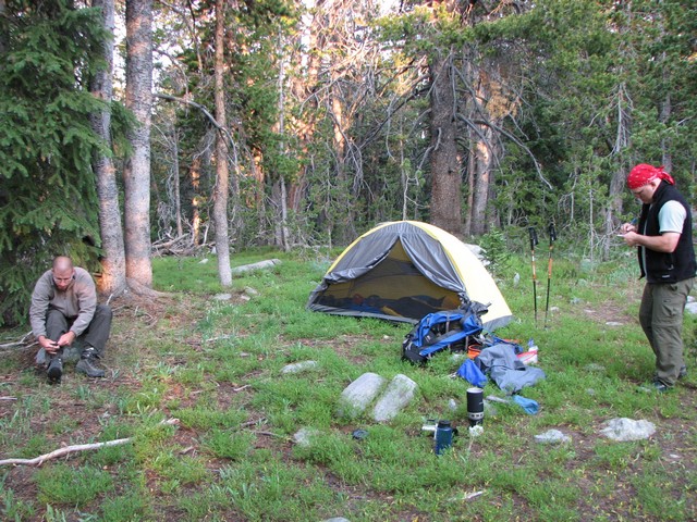
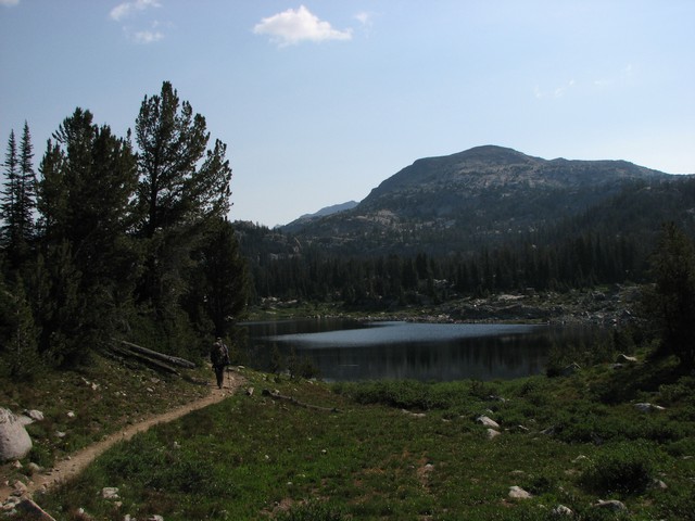
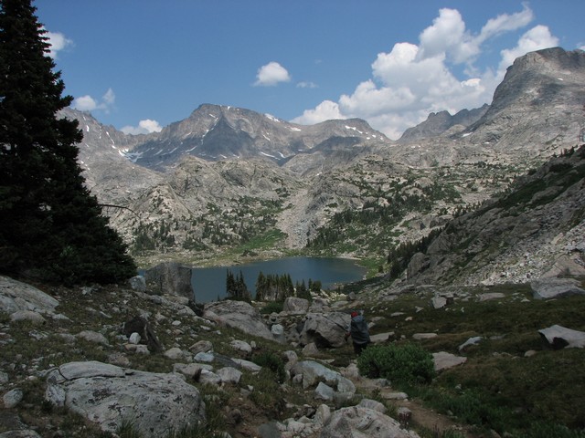
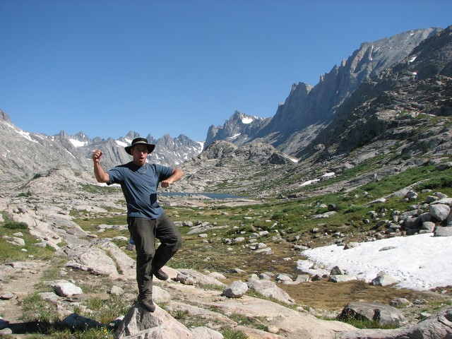
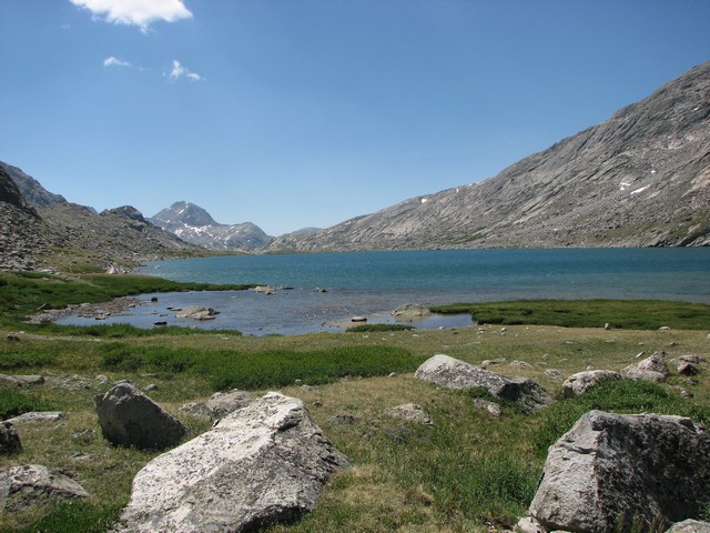
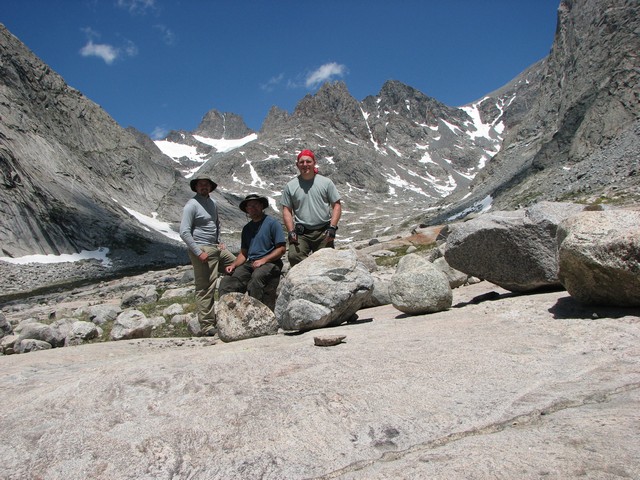
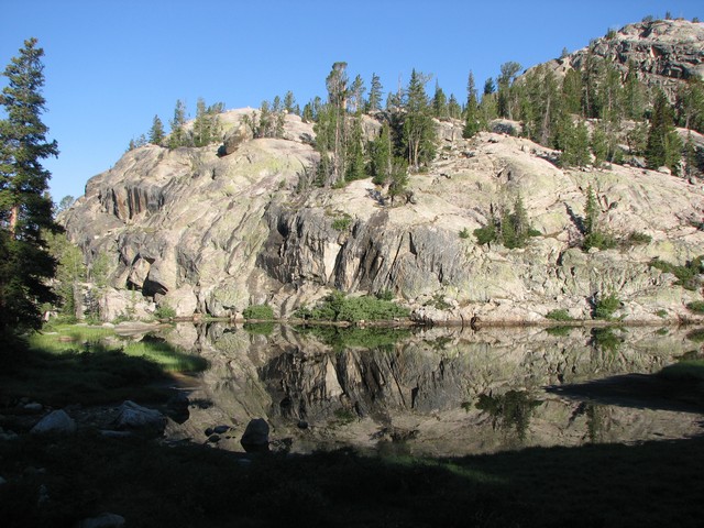
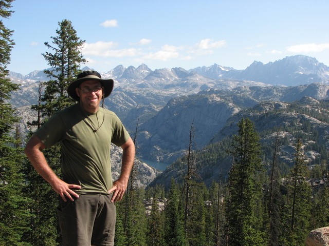
We started hiking from Elkhart Trailhead at 9:30 on Saturday night. We hiked 2 miles in the dark before making camp. The picture above was taken the next morning as we prepared to start hiking on Sunday.
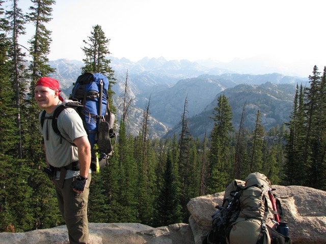
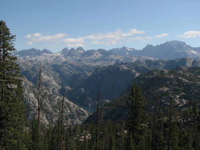
After two more miles of hiking we came to a spot called photographers point. We could see why, but unfortunately there were a lot of wildfires burning that made the views really hazy that day.
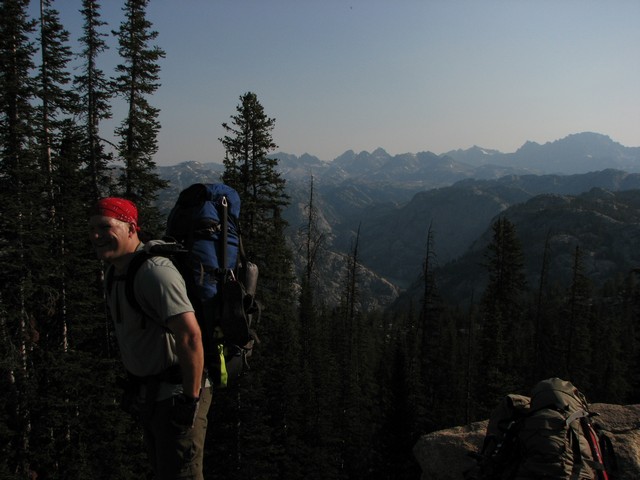
I tried to compensate with the camera a bit but the photos still didn't really capture the scenery well.
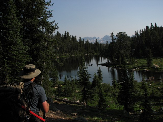
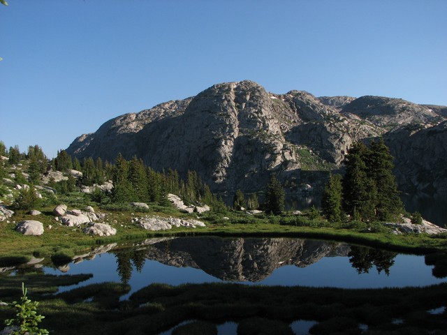
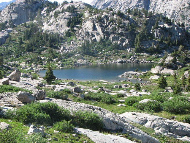
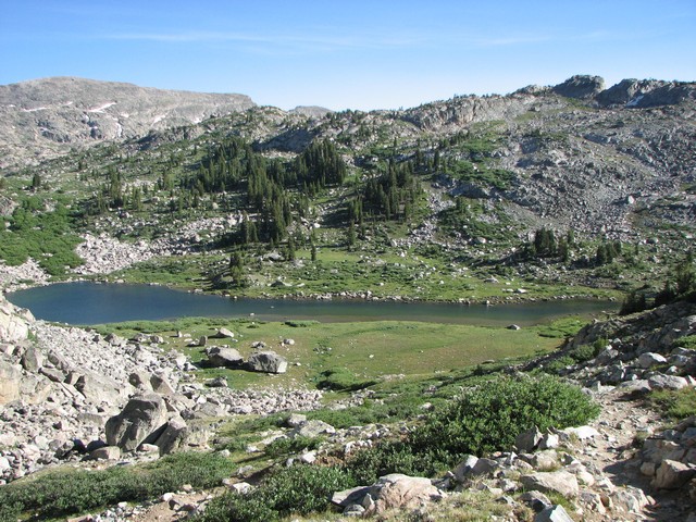
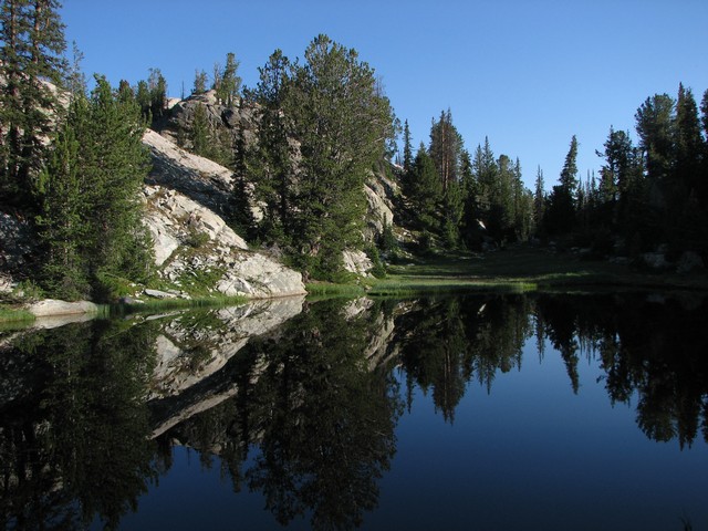
We were amazed at the number of lakes along this hike, but also with how few streams there were. It seemed as if most of these lakes were fed and drained through underground streams. We only saw one that appeared stagnant the rest had very clear water.
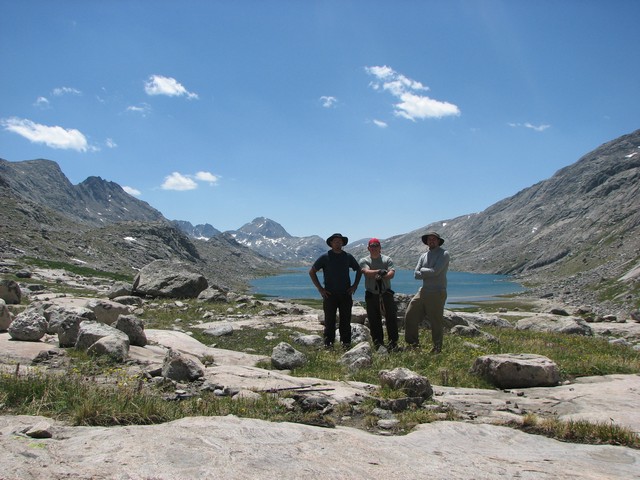
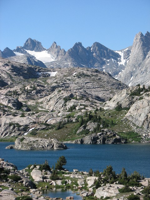
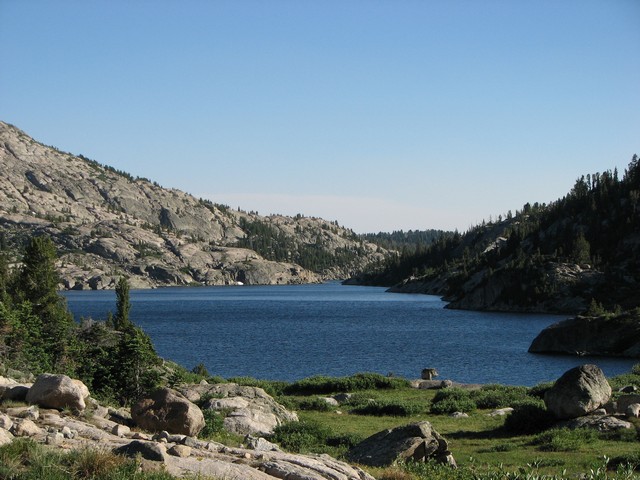
The first decent sized lake we came to was Baker Lake. The three of us being from Colorado were pretty impressed with a lake this size at this elevation.
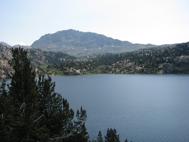
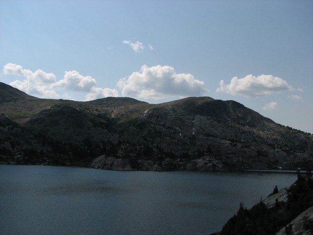
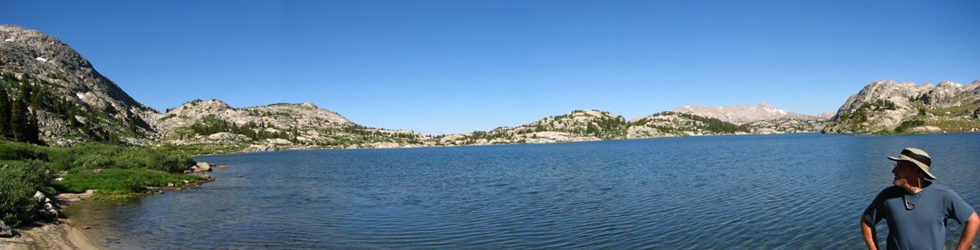
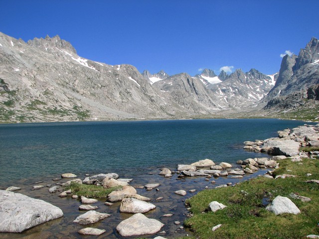
Then we came to Seneca Lake. I've never seen a lake this big above 10,000 feet before. It was beautiful.
Although the net elevation change on this hike is pretty minimal, there are a lot of up and downs along the way.
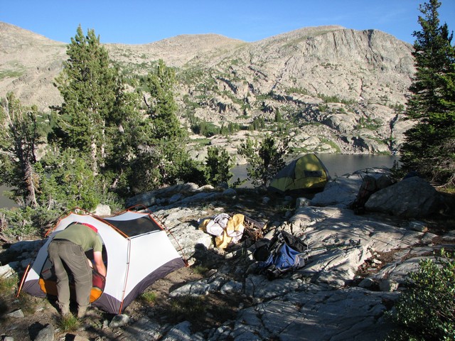
I was very excited when we got to Island Lake. This was going to be our camp for the night. It was a beautiful lake. Unfortunately we were not prepared for the mosquitos that we met here. We had Off Cutter, 100% Deet, and Deep Woods Off but none of them did any good. I've never seen so many mosquitos in my life. They drove me nuts so bad that I wound up spending several hours in my tent just to get away from them. Fortunately just before sunset they all went away.
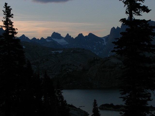
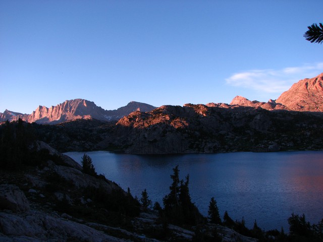
The sunset over Island Lake was spectacular.
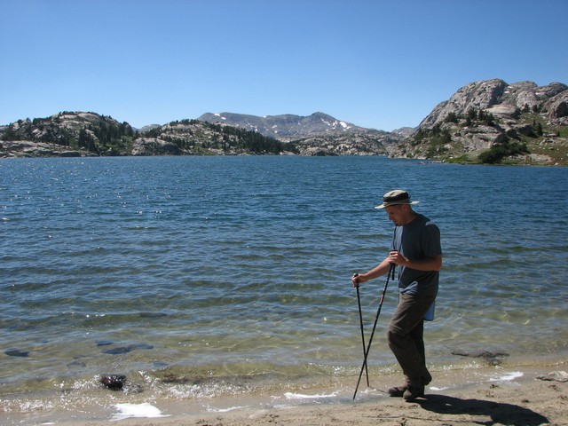
The next morning we woke to perfectly clear skys and no wind. We went down to Island Lake to do some exploring and fishing.
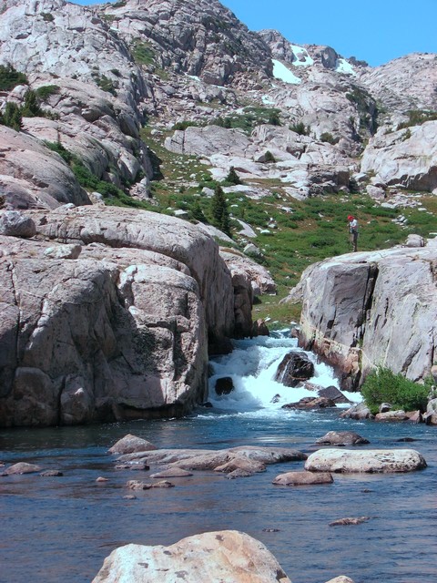
Across the lake we saw a beautiful waterfall that we decided to find later.
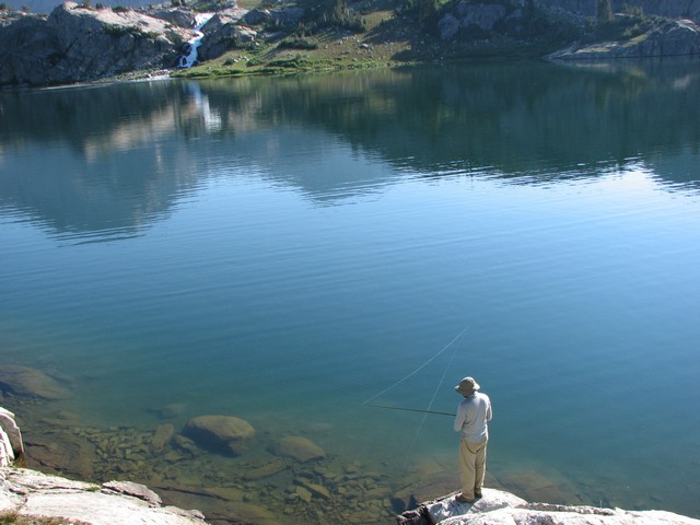
We all took turns fishing with Chad's pole, but Chad was the only one who caught anything. He caught a nice sized cutthroat trout.
We returned to camp (notice the mosquito on the left of the photo) and gathered some stuff for day hiking. We decided we would just day hike on Monday and start hiking out on Tuesday skipping any attempt on Gannett Peak. We decided this mostly due to me. The mosquitos for some reason thought I was candy and were making it really hard for me to have a good time.
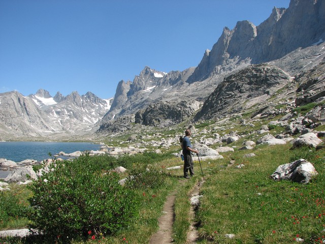
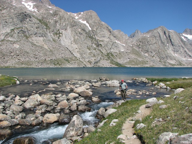
We had to hike around Island Lake to continue our approach to Titcomb Basin.
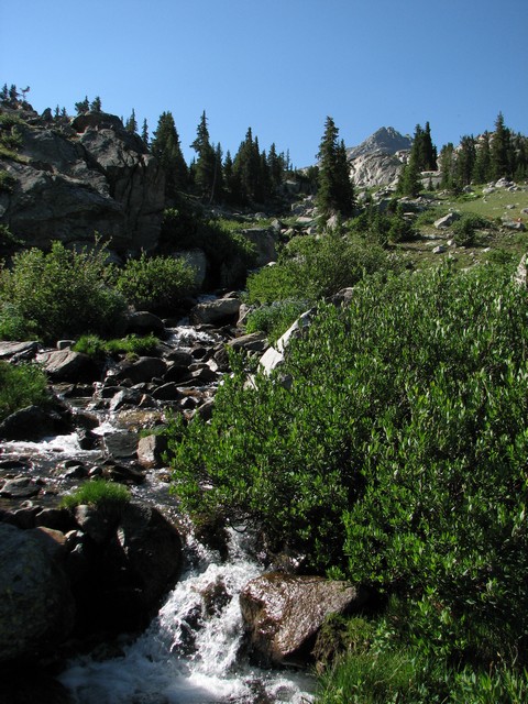
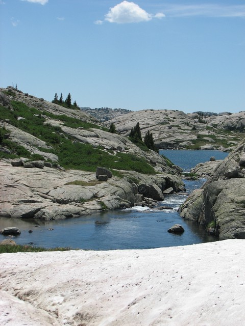
Now we were starting to see lots of streams and waterfalls.
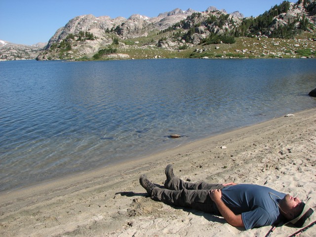
There is a great little beach on the East end of the Lake. Jason decided to work on his tan for a little bit.
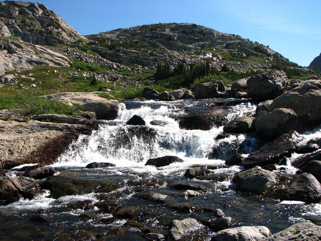
As we entered Titcomb basin we came across the river coming out of Indian Basin that joins with another to create the falls we'd seen the day before. Again, I've never seen a creek flowing with this much water at such a high elevation before.
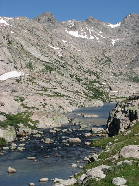
Not far beyond that we saw the river coming out of Titcomb basin.
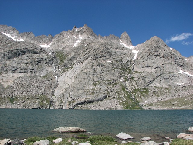
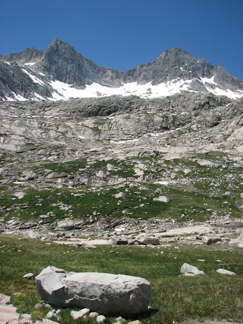
Titcomb basin is obviously a glacier carved basin.
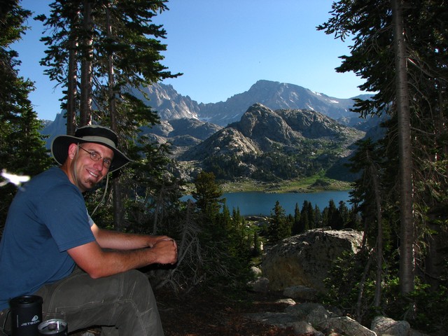
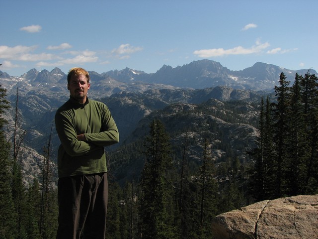
. I think Jason was having a good time.
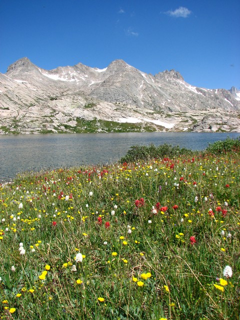
The wildflowers on this trip had been amazing too. Many different varieties were in bloom.
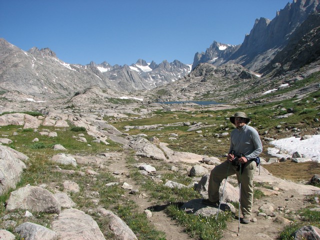
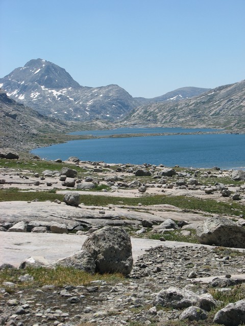
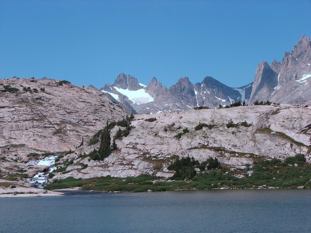
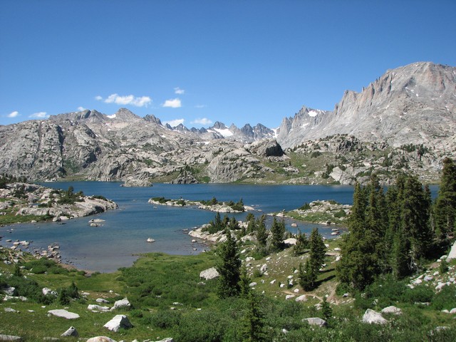
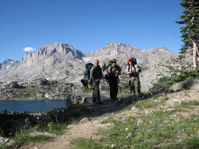
Upper Titcomb lake was a deep blue and looked impressive with the mountains rising up sharply around it. Bonney Pass is visible in the upper right. Mount Helen is the peak on the far right just to the right of Bonney Pass.
It was hard to walk through this valley without getting a sore neck from looking up all the time.
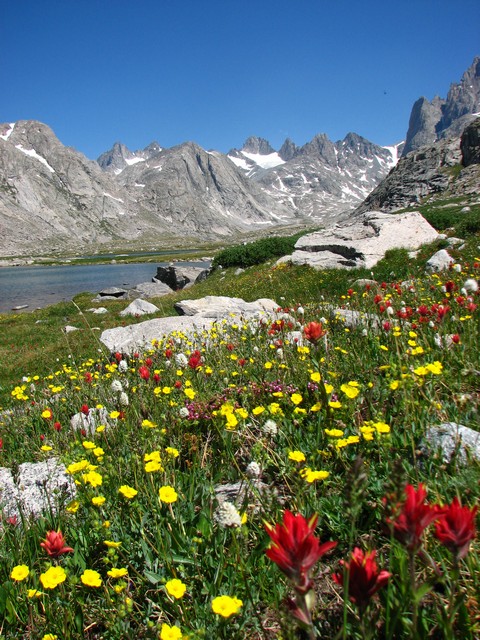
Wow, the flowers were great.
Even near the end of the basin the water was still flowing strong.
Did I mention the mountains just come straight up out of the lake?
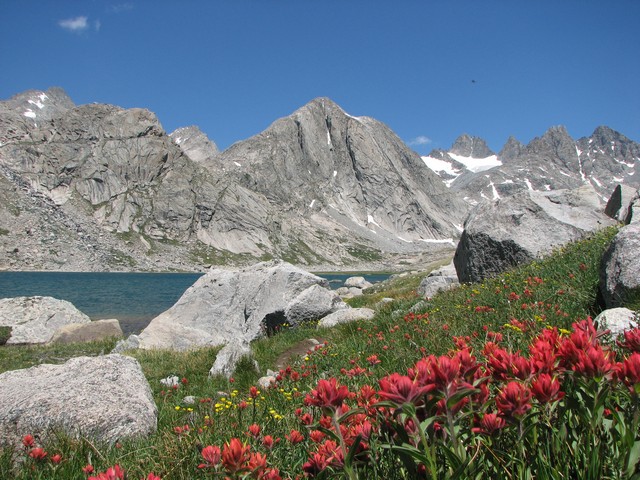
Oh, and did I mention the wild flowers?
Looking back on upper Titcomb Lake.
This is where we turned around near Bonney Pass.
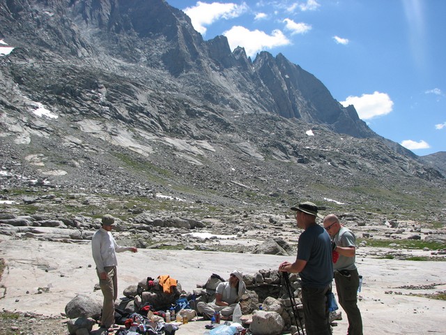
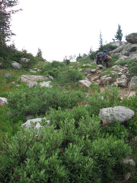
At the end of Titcomb Basin we ran into a couple of guys from Wisconsin that were spending two weeks in the Basin doing rock and ice climbing. Must have been single still.
It was interesting to see the large rocks the glaciers had left strewn about when they melted.
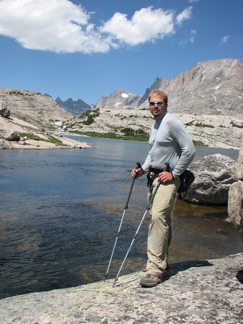
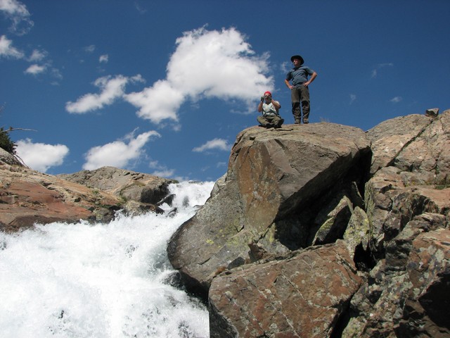
We called this our summit shot for the trip as it was near the end of where we'd hiked.
Same spot looking the other way.
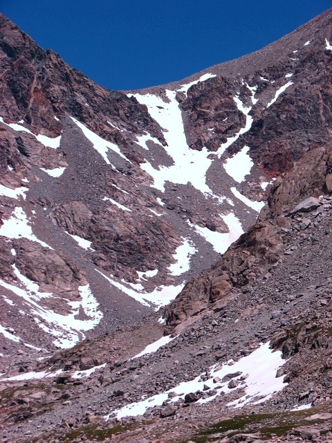
There weren't many glaciers in Titcomb Basin. Apparently they were all just East of us on the other side of the mountains.
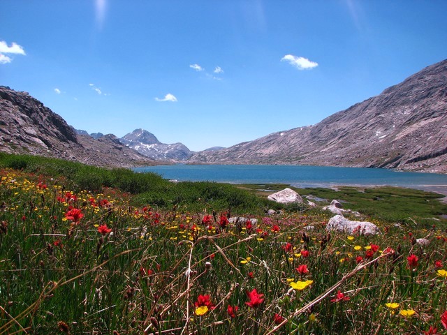
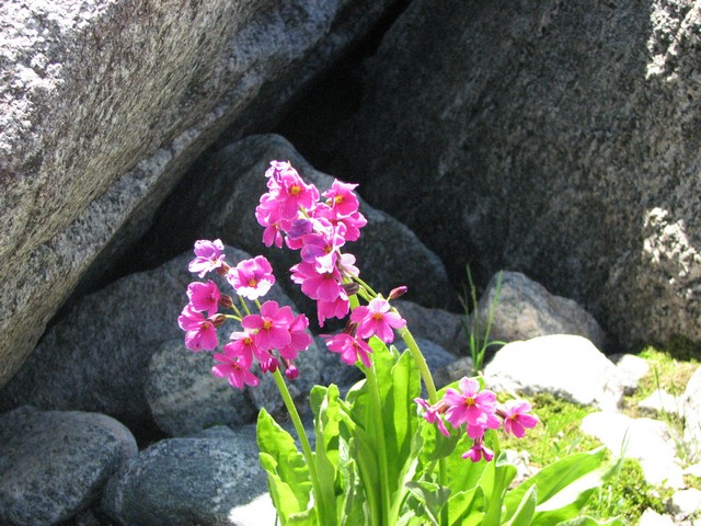
Oh yeah, did I mention the flowers?
There was a little snow left down near 10,000 feet, but nothing to cause any trouble.
A glacier, a river, and a lake.
We did some exploring on the way out to find the waterfall above Island Lake.
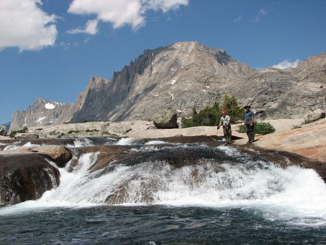
In the process of finding the falls we were after we came across a few others.
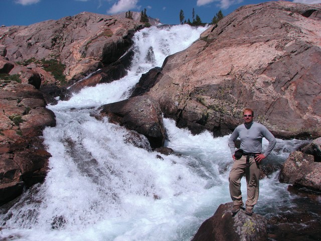
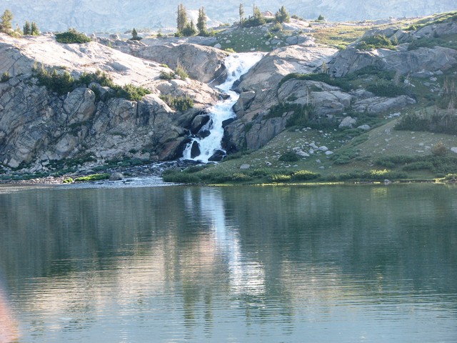
We found the Island Lake falls and they turned out to be bigger than they had appeared.
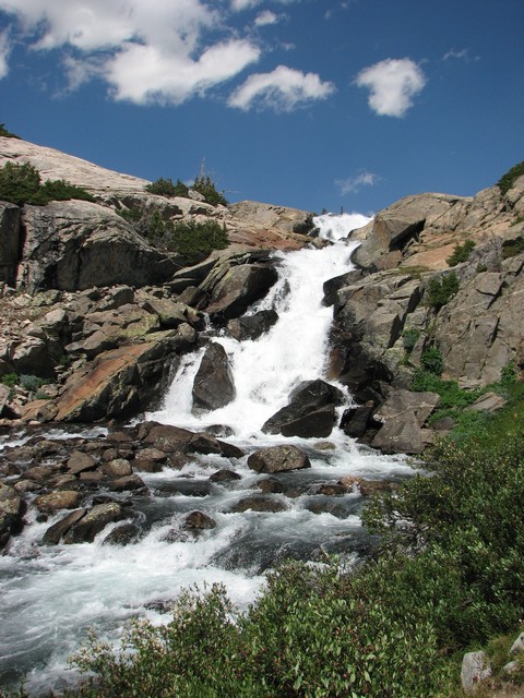
Great waterfall.
Back at the beach we were still feeling good and so decided to play around Island Lake for a while.
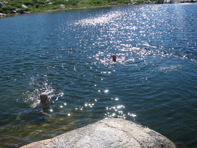
We went for a swim in one of the ponds near Island Lake. The small pond was warmer than Island Lake, but still frigid. Very invigorating.
Back at camp the smokey haze had cleared away and the views just got even better.
Looking down on the pond we swam in that I nicknamed "Buck Necket Pond."
We decided to hike back down to Seneca Lake to shorten the hike our on Tuesday
On the way out we nicknamed this lake Sperm Lake.
When we reached Seneca Lake we had hiked over 16 miles that day.
This time we camped on a ridge in hopes of the wind keeping the mosquitoes away. We still had a few bothering us, but it was nothing like the ones by Island Lake. It was a nice change.
The sunset over Senca was beautiful.

As seems to be common with us, even this close to the end of the trip we still had a fair amount of food to hang in the bear bag.
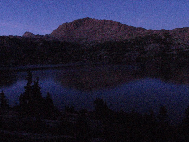
Twilight was beautifual as we watched the stars slowly appear.
The hike out the next day was tough. We'd already done 32 miles of hiking but still had 8 to go with full pacd to get back to the car. Lots of up and down on the way out. Very tiring.
Back at Photographer's Point the haze had cleared off and we had some great views.
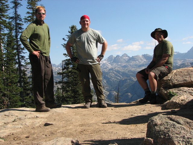
We only had 4 miles to go from here, but none of us wanted to put the packs back on.
It was a great trip into a new area for us. I'm sure we will return someday.
We had read earlier that this area was really crowded, and though we did see a few people (especially as we neared the trailhead) I would never call it crowded. The Wind River Range is huge with lots of places to explore.
You are welcome to contact me with any questions regarding questions about, or problems with, this website. Just send me an e-mail at josh_friesema@hotmail.com.