Maroon Peak with traverse to North Maroon
 |
 |
 |
 |
 |
 |
 |
 |
 |
 |
 |
 |
 |
For a detailed description of the traverse, click here.
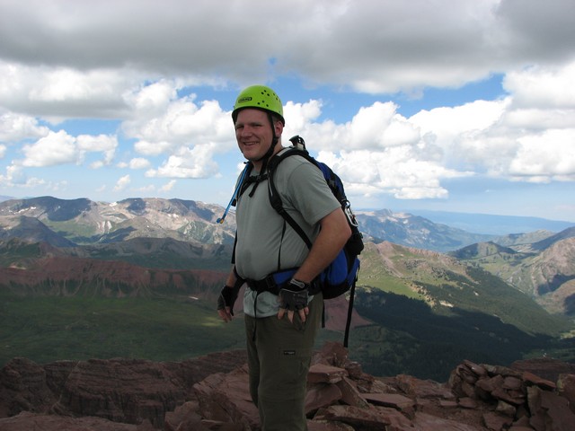
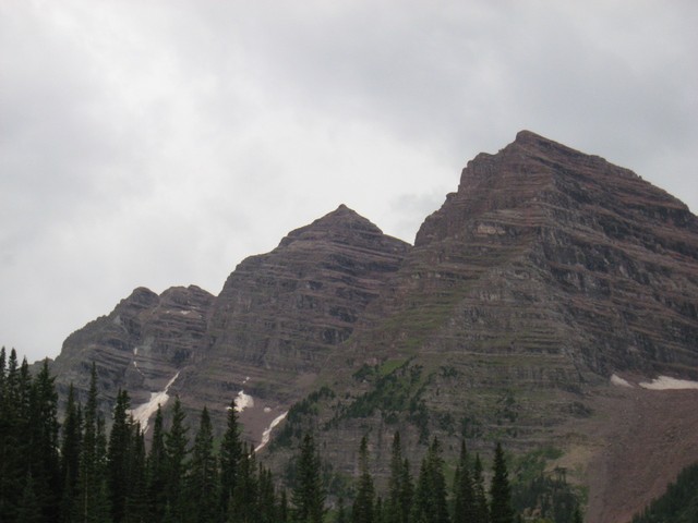
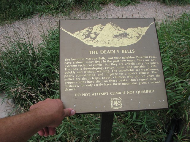
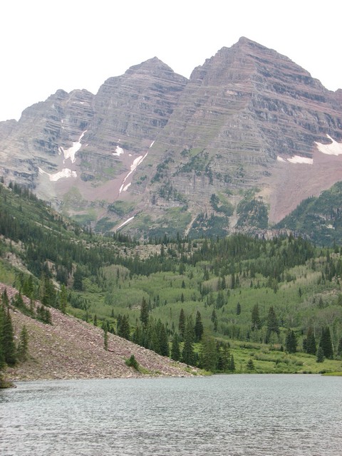
The Maroon Bells are reportedly the most photographed mountains in the world. A quick bus ride from Aspen will take you to Maroon Lake where the reflection of the Maroon Bells is stunning. They are also amoung the most deadly mountains in Colorado. The terrain is steep with lots of cliffs, and the rock is loose and breaks apart easily. Three days before climbing these peaks a climber had died on South Maroon. Just climbing Maroon Peak this trip can be kept to class 3 climbing. North Maroon is not actually a seperate peak as it does not rise 300 feet above it's connecting saddle with Maroon Peak. However due to the fame of this mountain and the infamous routes to climb it few pass it up on their list of Colorado Fourteeners to climb.
We hiked from the Maroon Lake trailhead which can be accessed for free still if you get there before 7 am. We had no problem with that since we arrived at 4 am. In total the hike took us nearly 11 hours. It is long; dangerous; and very challenging mentally, physically, and technically.
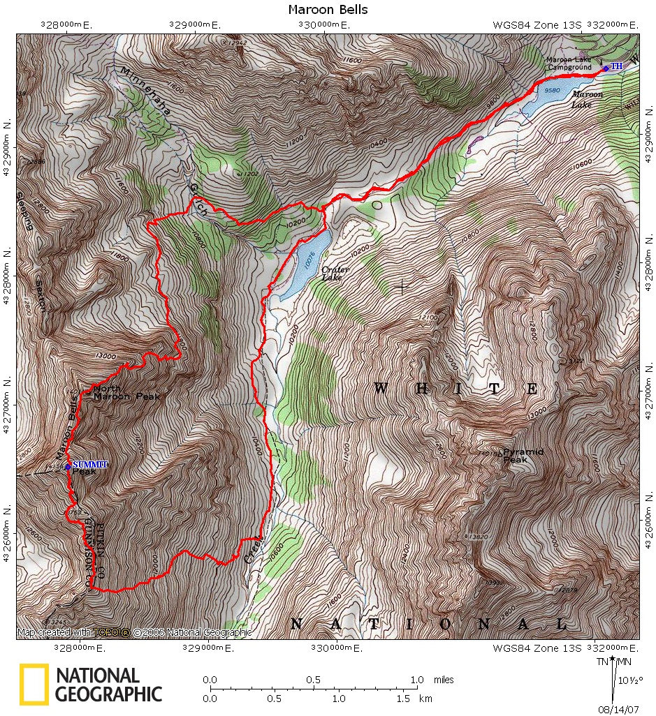
Click the map to see a larger version.
Isaac was helping me pack for the trip the night before. I think he wanted to come too.
We met a couple of guys at the trailhead that were starting at the same time but heading up the North Maroon trail and not doing the traverse. The rest of the hike up to South Maroon we saw no other hikers.
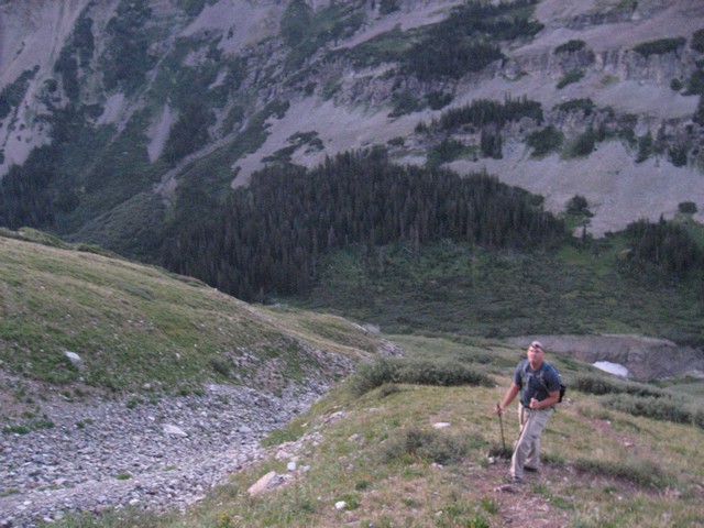
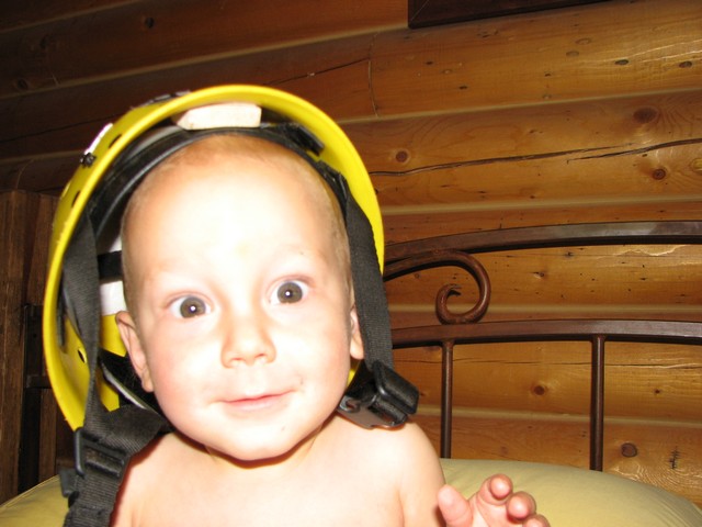
The hike up to the ridge is fairly easy to do by headlamp. When we reached the turn off of the Crater Lake trail to head up the valley wall we weren't sure so we went passed it 100 feet to see that the Crater Lake trail did cross the stream there. We knew the turn off was just before the stream crossing so a short backtrack and we were good to go.
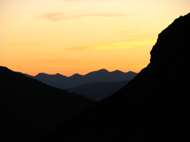
Due to our early start sunrise wasn't until we were nearing the ridge of South Maroon. This turned out to be good timing since it would be tough to climb the ridge without the light of day.
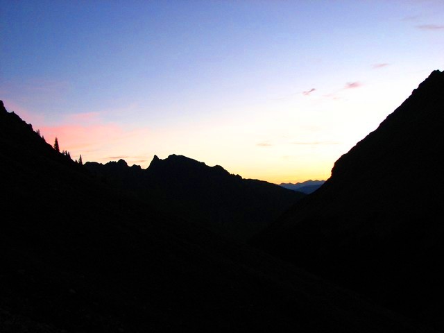
I love getting to see the sunrise from a high elevation. Even on a day with few clouds to provide color it is still beautiful.
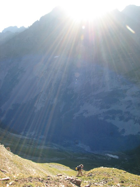
Roach describes the route up to the ridge as a great test of your workout regiment. I'd say that's accurate.
Up, up, up.
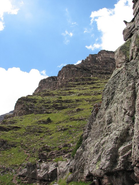
The trail is steep and relentless, however it looks like CFI is working on building a trail that will have a lot more switchbacks. Once they're done this route will be a lot easier, at least to the ridge.
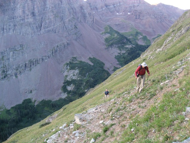
Some mountains frustrate me with getting around to actually gaining elevation. Not this one.
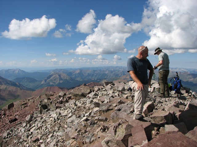
Once on the ridge, then the trail gets down to business. At this point we put the poles away and the helmets on.
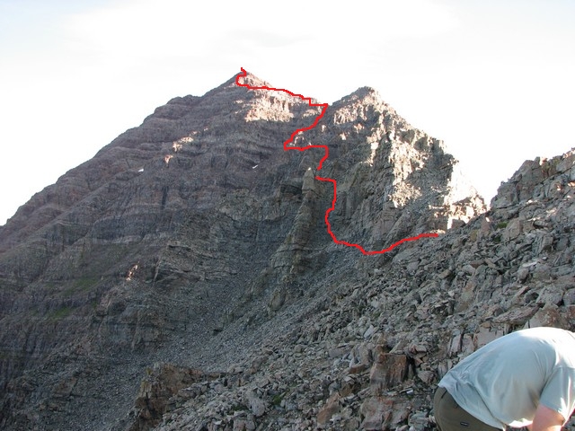
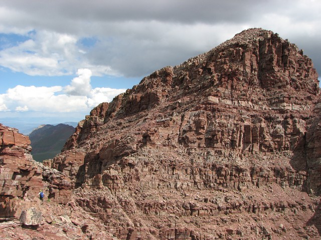
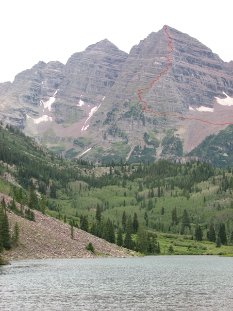
This is an approximation of our route. The trail starts out well cairned, but after a while many options open up and good routefinding skills are essential. Most people agree that you can keep this route to class 3 if you try, but we found it was more hassle than it was worth. Making the occasional class 4 move made the route more direct without making it much more difficult.

The saddle provides a great location to scope out the route and get a rest an make your plans.
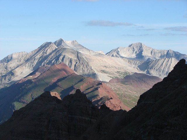
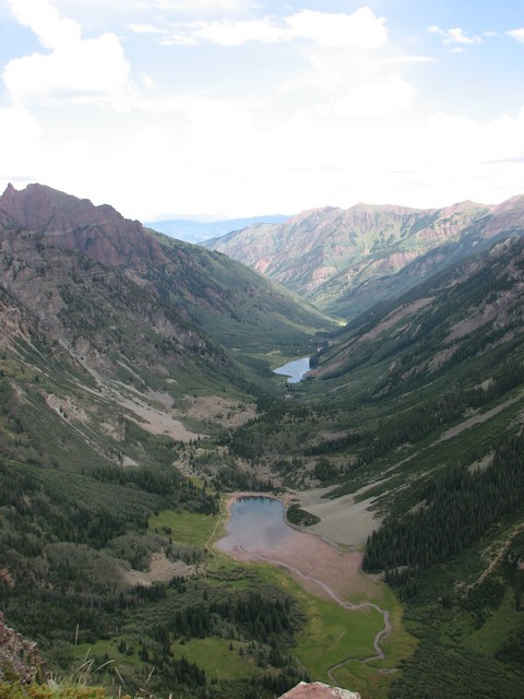
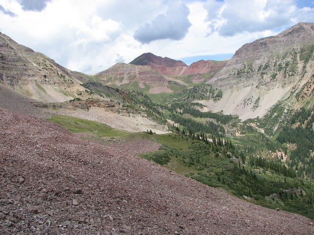
From the ridge you also get great views of Snowmass Mountain and Capitol Peak.
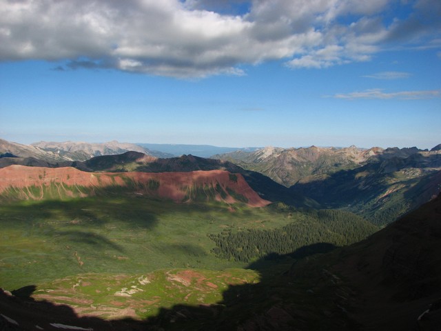
Even though it was a dry year, the Fravert Basin still looked very green.
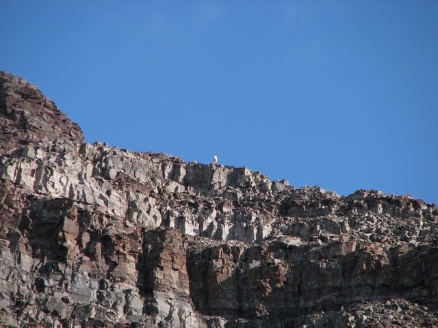
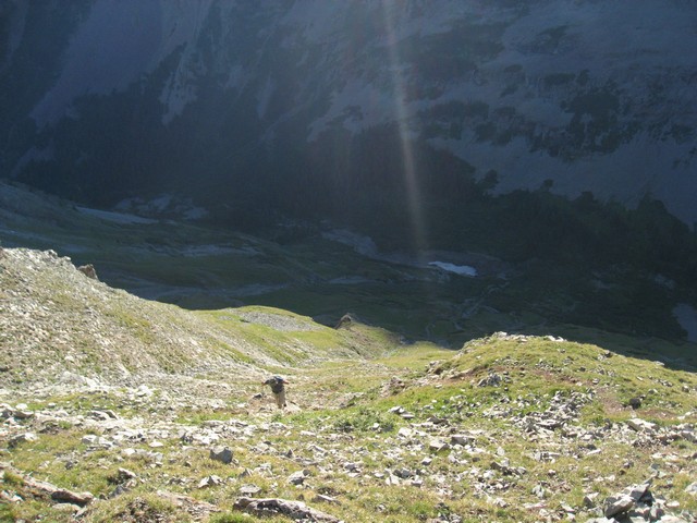
As we started climbing the ridge we saw a Mountain Goat near the summit watching us.
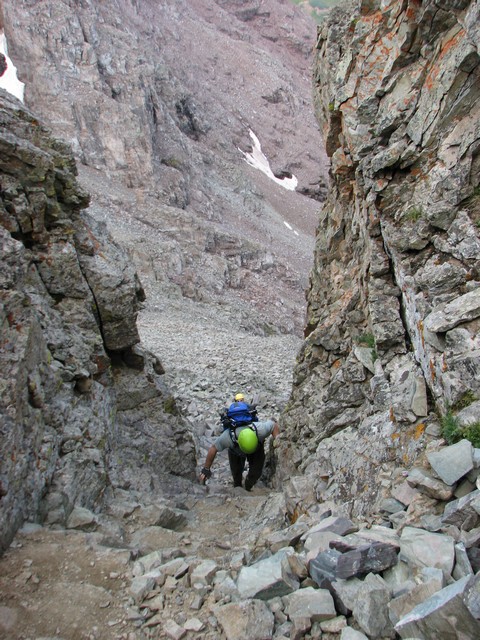
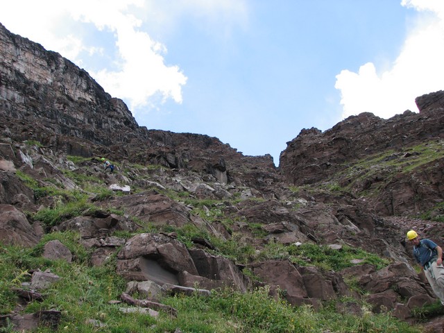
Early in the trail the trail enters a small couloir that you must ascend, turn left and ascend a little more. This is a good warm up for what lies ahead.
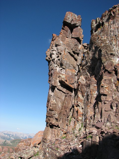
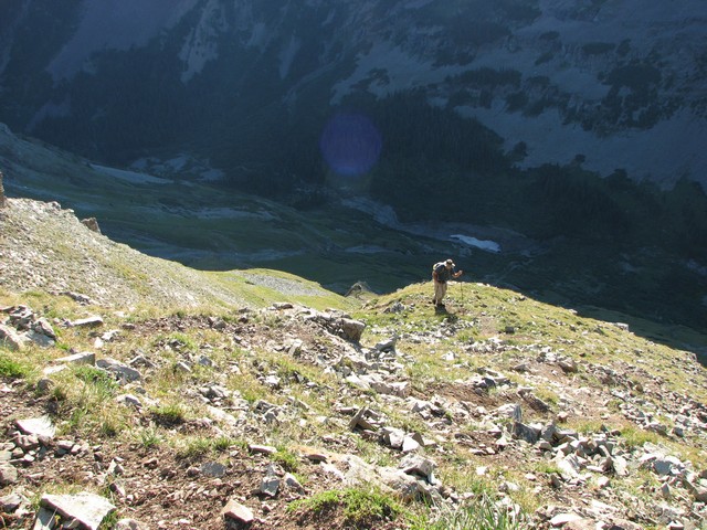
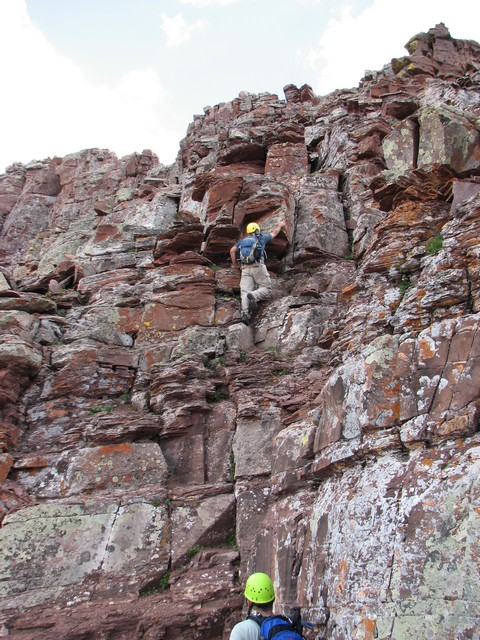
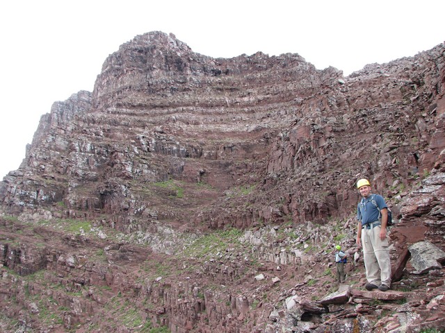
One of the keys to the ascent is to watch to your left when ascending gulleys and look for good trails that take ledges around to the next gulley. This gendarme stood above one such ledge.
These ledges make great overlooks.
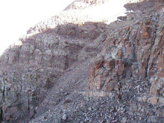
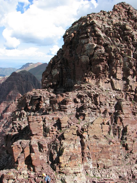
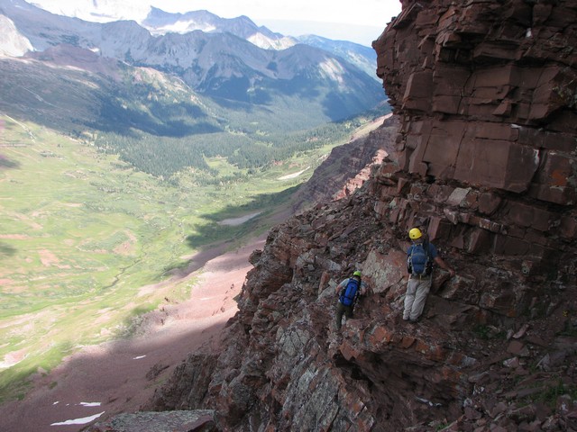
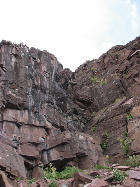
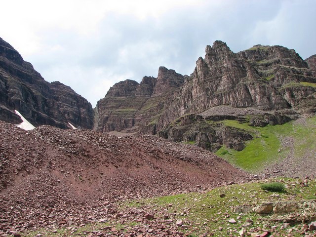
The large gulley that Roach speaks of between Maroon Peak and Point 13,753 starts in the area photographed. This gulley is very loose, try not to knock any rocks loose.
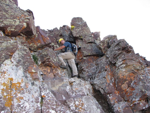
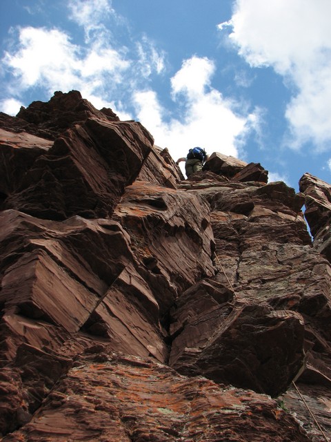
This is what a lot of the class 3 scrambling is like on Maroon Peak.
It's not bad, and if you do find something that seems to difficult you don't have to traverse far to find something easier.
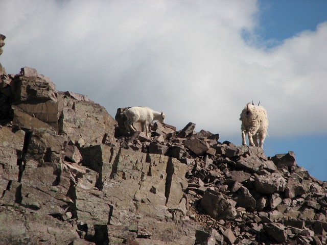
As we got closer to the summit we saw the goat was still there and she had her kid with her.
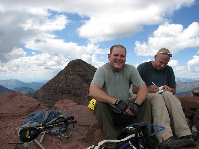
The route we took to the summit ended with an easy stretch on the ridge. We reached the summit at 9:30, so it had taken us 5.5 hours to reach the summit. Which meant we had averaged 1 mile per hour. That seemed terrible compared to what we usually do, but it's not like the terrain allowed for speedy travel.
The clouds were beginning to build. However we still felt pretty good since the forecast didn't call for anything until 2 o'clock. We rested for a bit trying to eat and get ready for the traverse.
I scoped out the ridge for a while. There was a party of four on the traverse already. They were just getting to the crux of the traverse.
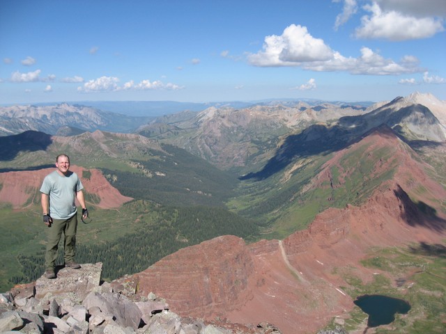
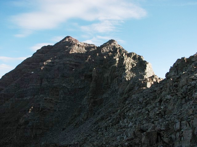
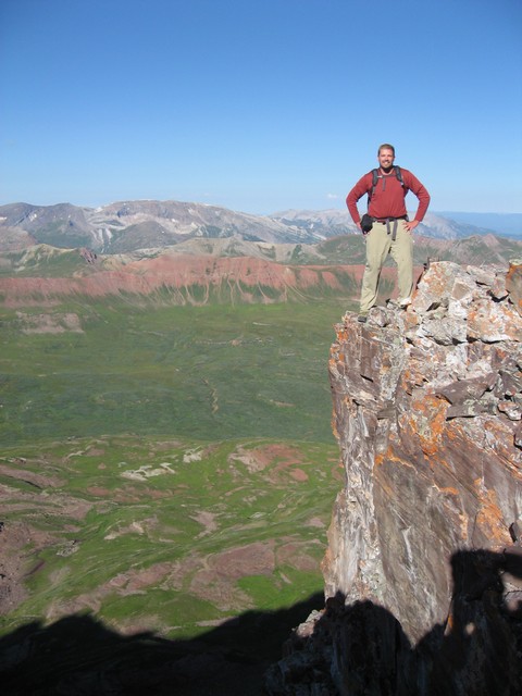
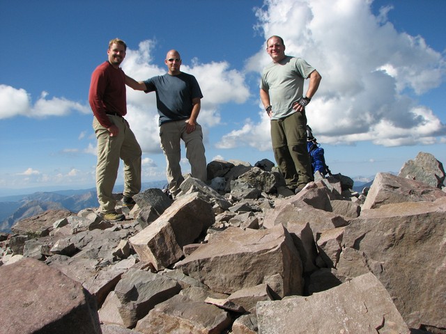
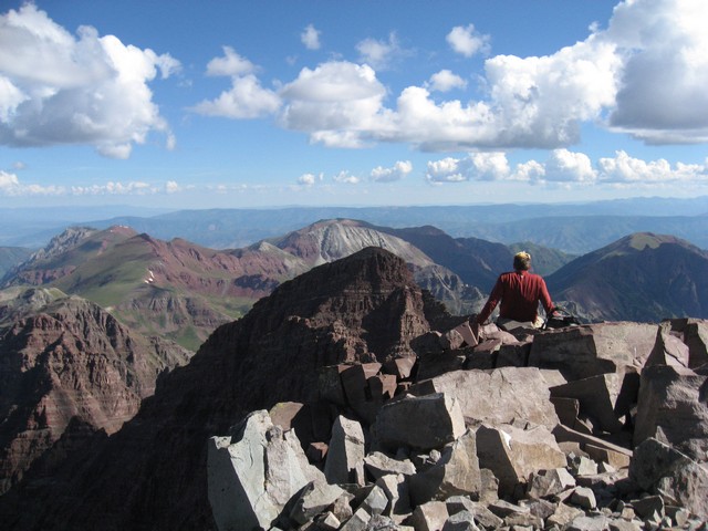
Spectacular summit views.
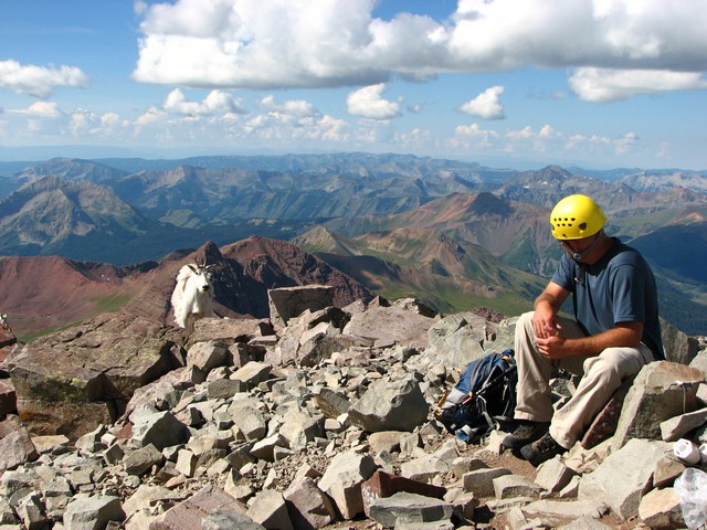
The goats then began to harass us a little. I think they were after some food. There turned out to be four goats. Two mothers and two kids.
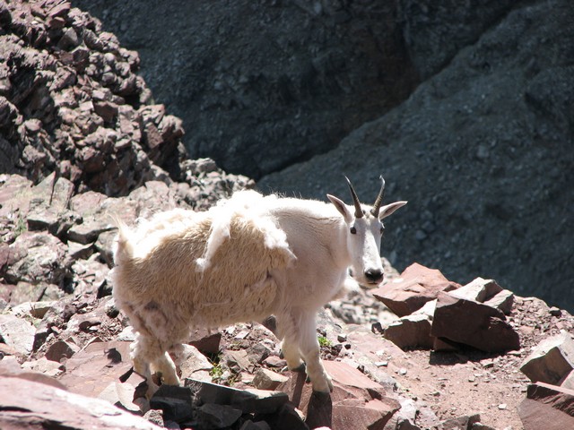

While they were up there one slipped near an edge and knocked a very large rock slide loose. It sounded like most of the rocks made it all the way to the valley below. Can you believe the goat had the nerve to not even yell "rock" once after setting that loose. Sheesh, goats are so rude.
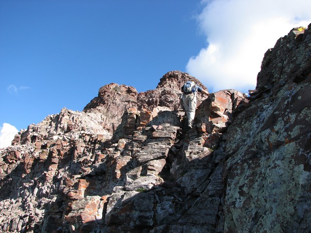
We began the traverse at 10:15. The downclimb was tough, but the challenges that loomed ahead looked worse.
The traverse is indeed at least class 4. Read the traverse description for more information.
We took the crux of the traverse head on. It took a couple low class 5 moves that were exposed, but we got past it quite fast.
Then we took a bit of alternative route that was very airy, but also got us around some difficulties quickly.
After that the ridge is pretty easy class 3 terrain.
We reached the summit of North Maroon at 11:30. We did the traverse in far less time than we had expected.
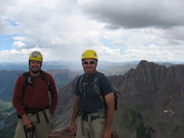
It felt great to have the "Deadly Bells" out of the way on our quest for Colorado's Centennial Mountains.
The clouds were really starting to grow and we weren't on the summit long before we heard thunder in the distance. Needless to say after hearing that, we were on our way down. Suprisingly at the same time two guys decided to start the traverse.
The descent off North Maroon seems simple compared to the challenges and exposure of the traverse. This is near the top of the second gulley.
We did get off route briefly and had to do this downclimb, but for the most part the trail was easy to follow. A guy we had met on the summit had one simple piece of advice. If it feels like you're off route, you are. As obvious as this sounds, it's good advice.
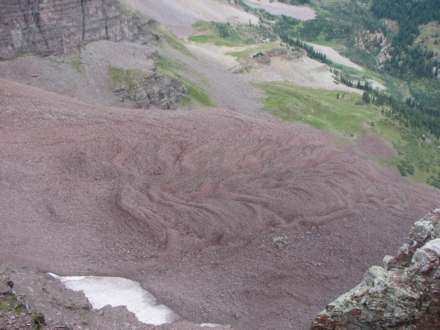
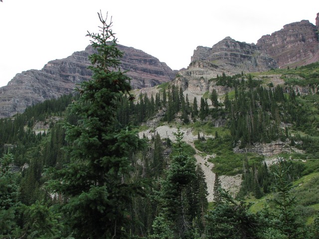
The rock glacier of North Maroon is amazing to me. I wonder if anyone tracks how far it moves each year.
Looking back up part of the North Maroon trail in the first gulley.
Crater lake was suffering from the dry summer this year.
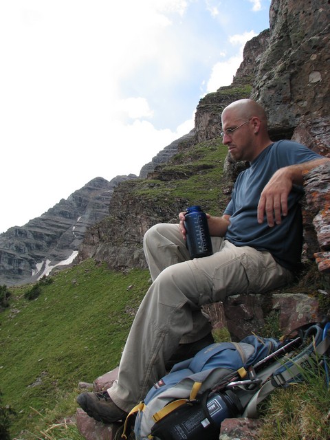
Jason resting at the entrance/exit of the first gulley. Several descriptions warn of not missing this on your way down, but it's so obvious I don't know how you could.
Looking up the start of the first gulley from the entrace.
The rock glacier was really cool until I had to cross it. The rock is loose and it takes a while to cross. Getting across is a life size version of dot-to-dot. When you see a cairn, go to it and then look for the next.
While crossing you have to focus a lot of attention on your feet, be sure to stop and look around every now and then too.
When we finally reached the 4-passes trail we rested a bit and looked back up to where we had been. One word: WOW.
The rock field in the center of the photo is the route. This rock is pretty loose too. I was sick of hiking on loose rock by the end of it all.
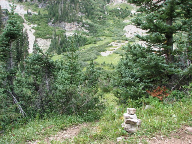
The turn off from the 4-passes loop onto the North Maroon trail is marked only with a small rock cairn. Fortuneately there are two chances to catch the trail if your heading up this way so you're not likely to miss both.
It felt good to be back down on solid fairly level trail.
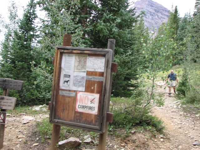
This is the sign posted on the Crater Lake trail where you would turn right for North Maroon or stay left for South Maroon.
The clouds had really developed by this time. We wondered how the other parties that were doing the traverse had done. We guessed they were still up there.
By the time we got back to Maroon Lake our feet were exhausted. Though only a 10 mile trip, it had been grueling.
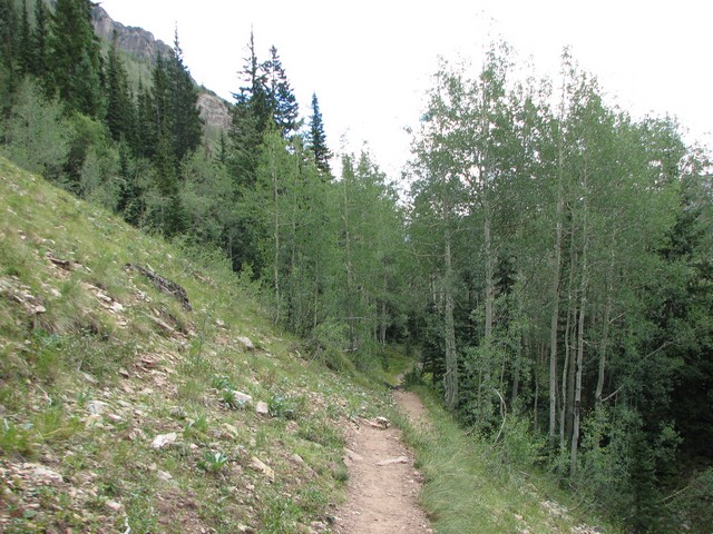
when heading up from the trailhead about halfway along Maroon Lake look for this sign and turn right here to head up toward Crater Lake.
The Maroon Bells above Maroon lake. The sky was now totally overcast, but the lightning and thunder had died down.
This is approximately our path on North Maroon.
You are welcome to contact me with any questions regarding questions about, or problems with, this website. Just send me an e-mail at josh_friesema@hotmail.com.