Helen Hunt Falls
 |
 |
 |
 |
 |
 |
 |
 |
 |
 |
 |
 |
 |
Distance:
100 yards
Type:
Easy Trail
Vertical Gain:
20 ft
Difficulty:
Easy
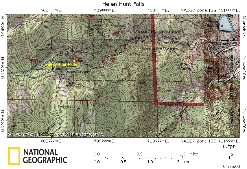
Topographical Map:
Trailhead:
Take the Nevada Exit off of I-25 on the South side of Colorado Springs. Follow Nevada south a few blocks to Cheyenne Blvd. Turn West on Cheyenne Blvd. Continue on this road until you reach a fork in the road with a sign for Helen Hunt falls to the right and Seven Falls to the left. This will take you into Cheyenne Canyon. Follow this curvy road until you get to the vistors station at a large switchback in the road. Park here. (Lat:38.79 Lon:-104.90646)
Summary:
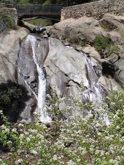
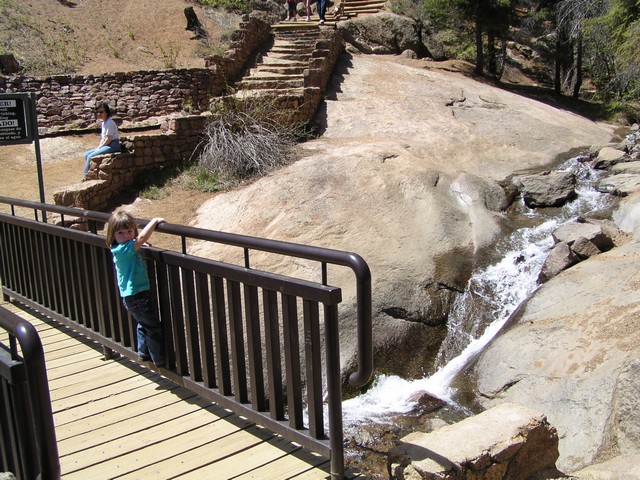
This hike is short. From your car head to the visitor station. From here you can see the falls. There is a short set of stairs leading up to a bridge that crosses the top of the falls.
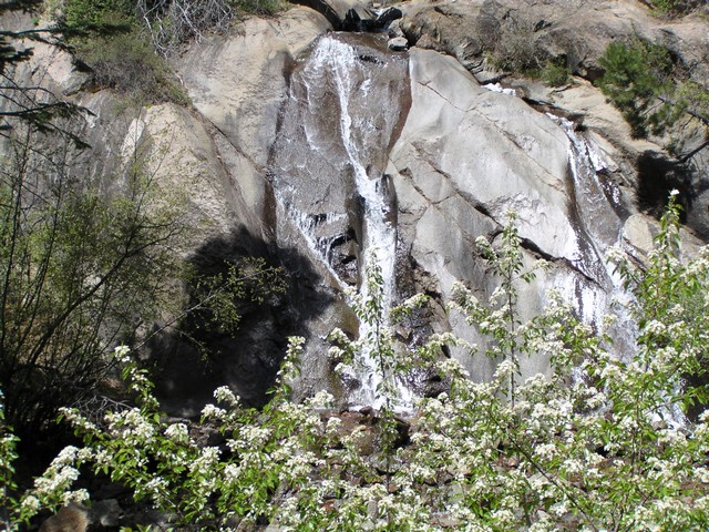
The Falls are very close to the parking lot and are easy to see.
There is a short trail to a bridge that passes over the creek above the falls. This is also the start of the Spoon Falls trail.
|
Distance: |
100 yards
|
|
Type: |
Easy Trail
|
|
Vertical Gain: |
20 ft
|
|
Difficulty: |
Easy
|