Spoon Falls
 |
 |
 |
 |
 |
 |
 |
 |
 |
 |
 |
 |
 |
Distance:
.5 Mile
Type:
Single Track
Vertical Gain:
100 ft
Difficulty:
Easy
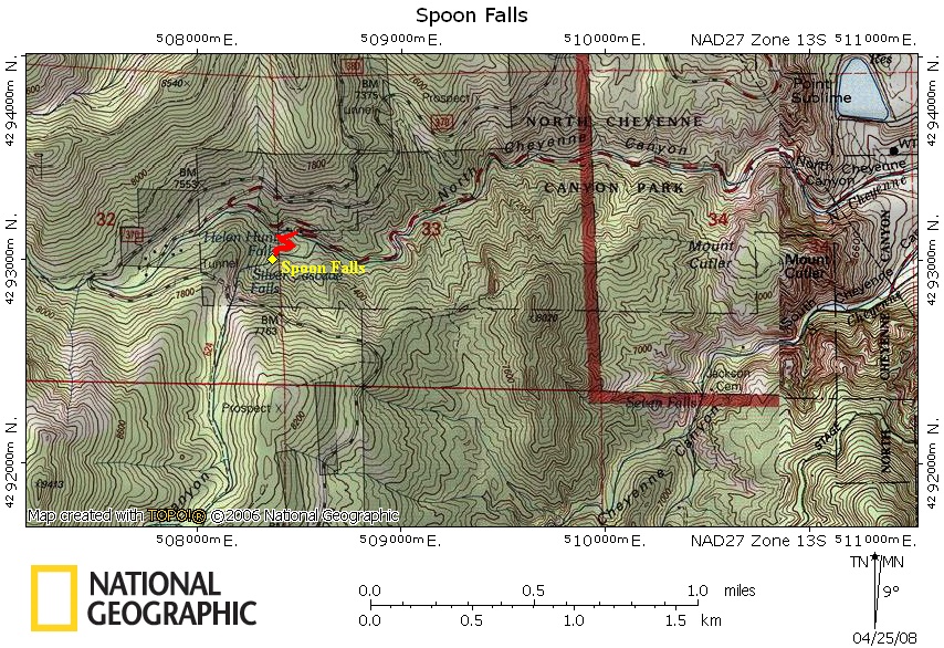
Topographical Map:
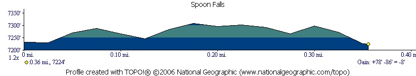
Elevation Profile:
Trailhead:
Take the Nevada Exit off of I-25 on the South side of Colorado Springs. Follow Nevada south a few blocks to Cheyenne Blvd. Turn West on Cheyenne Blvd. Continue on this road until you reach a fork in the road with a sign for Helen Hunt falls to the right and Seven Falls to the left. This will take you into Cheyenne Canyon. Follow this curvy road until you get to the vistors station at a large switchback in the road. Park here. (Lat:38.79 Lon:-104.90646)
Summary:
The trail begins at the west end of the parking lot next to the ranger station. Cross the bridge over Helen Hunt Falls. Then follow the obvious trail up to a stone overlook. Please stay on the trail and overlook as the surrounding area can get very slippery and dangerous.
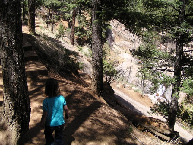
Hiking up the trail..
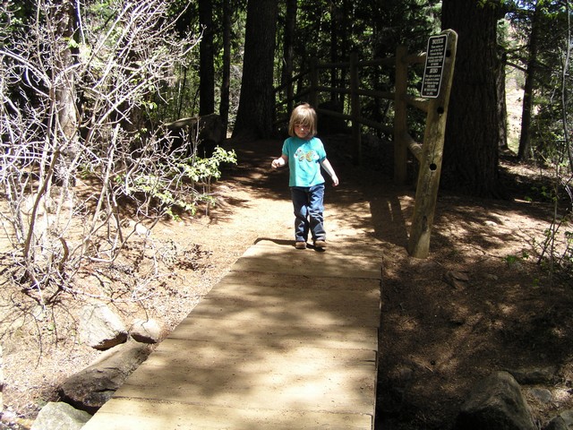
Crossing the bridge before the observation deck.
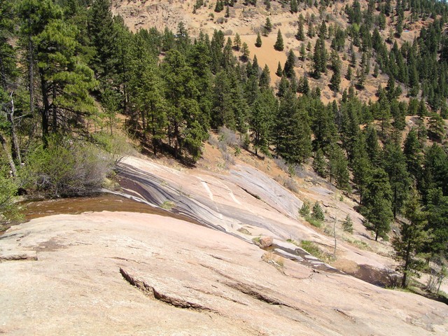
During high flow the water rushes through the spoon and is thrown away from the rock, when we went it was a low flow season.
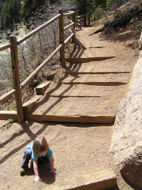
Maybe not the most effective way of descending a trail, but it worked for Ellie.
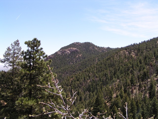
Mount Cutler can be seen to the East.
|
Distance: |
.5 Mile
|
|
Type: |
Single Track
|
|
Vertical Gain: |
100 ft
|
|
Difficulty: |
Easy
|